The view of the Nordkette is unique. The view from the Nordkette to Innsbruck is even more beautiful, especially if the summit itself has been climbed. The Brandjoch is particularly suitable for this!
Innsbruck offers numerous possibilities for alpine and mountain tours. A particularly attractive mountain tour is described in more detail here:
Vordere Brandjochspitze – that’s the name of the summit. Well, different ascent variants I have enjoyed so far, but there it was always just: “Gemma auf’s Brandjoch!” So when this post talks about the Brandjoch, it means the Vordere Brandjochspitze. In order to give an overview of the various ascent options, I would first like to list my previous variants:
- On foot from Hungerburg via Frau Hitt Sattel (1,700 hm): described in detail in the article!
- On foot from Hungerburg via the Südgrat (1,700 hm): prerequisite is a head for heights
- On foot from Innsbruck (2.000 hm)
- On foot from Seegrube (650 hm)
- By mountain bike to the Höttinger Alm and further on foot
- By mountain bike from Scharnitz to the Möslalm in the Karwendel and continue on foot
To get to the Brandjoch there are other numerous possibilities. I would like to go into more detail about the most rewarding tour from my point of view (1.). Depending on fitness and surefootedness, the ascent of the 2,559 meter high summit can and should be varied individually! Similar to a modular system, the tour to the Brandjoch can easily be put together.
Stage 1: Innsbruck – Hungerburg (300 hm)
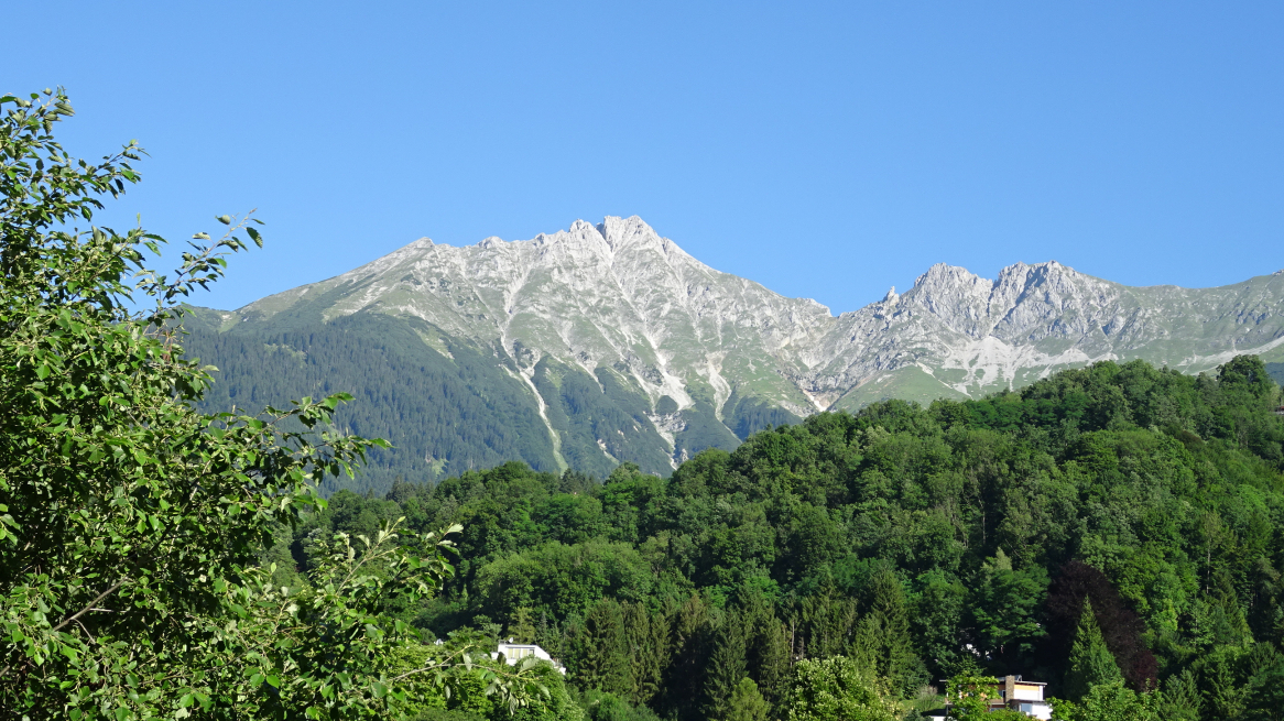
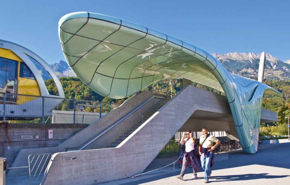
Already in Innsbruck the Brandjoch, situated at 2,559 m above sea level, catches the eye. 2.000 metres in altitude separate the town from the summit. A trip to the Hungerburg, with the Hungerburgbahn designed by Zaha Hadid, is the first thing to do.
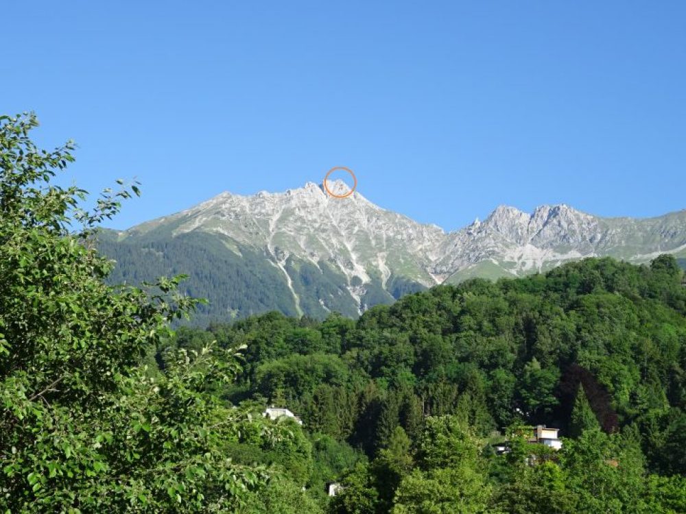
View of the Brandjoch from the Löwenhaus stop. (On the right of it the Mrs. Hitt)
Alternatives:
- Public transport of the IVB: Line “J
- Mountain bike
- On foot along the Hungerburgbahn approx. 30 min.
- with your own car
Hungerburgbahn: Löwenhaus station
Stage 2: Hungerburg – Umbrüggler Alm (250 hm)
A flat forest path leads in about 30 minutes to the Umbrüggler Alm, another architectural highlight after the Hungerburgbahn ride. A stop for refreshments is a good idea, but only on the way back, because there are still a few metres of altitude on the programme!
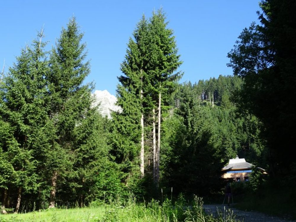
The Brandjoch peeps out from between the trees at the height of the Umbrüggler Alm
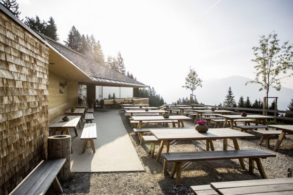
Very stylish the Umbrüggler Alm! © Innsbruck Tourist Office/Daniel Zangerl
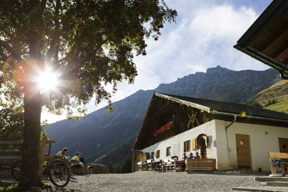
Stage 3: Umbrüggler Alm – Höttinger Alm (350 hm)
A hike on forest paths and easy climbs leads in about 45 minutes to the Höttinger Alm, one of the most popular alpine pastures of the Innsbruck population. Fill up your water bottles and continue, there is still time for a hearty snack after the tour.
Behind the Höttinger Alm the Brandjoch rises into the sky. Still 1.100 hm to go! © Innsbruck Tourist Board/Mario Webhofer
Alternative:
- The alp is perfectly accessible by mountain bike or e-bike from the Hungerburg or Innsbruck. The Brandjoch is the perfect combination of mountain bike and mountain tour!
Stage 4: Höttinger Alm – Frau Hitt Sattel
Across open alpine meadows you gradually approach the summit. It is about 500 hm to the Frau Hitt Sattel or about an hour’s walk.
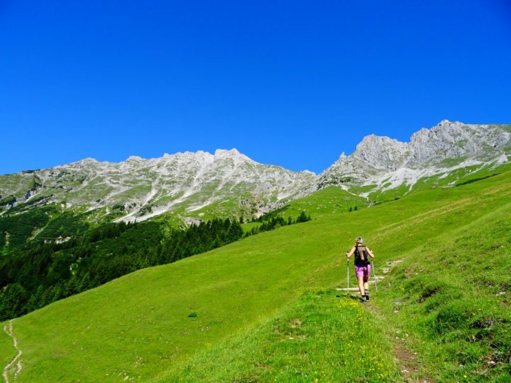
Through lush alpine meadows towards Frau Hitt Sattel
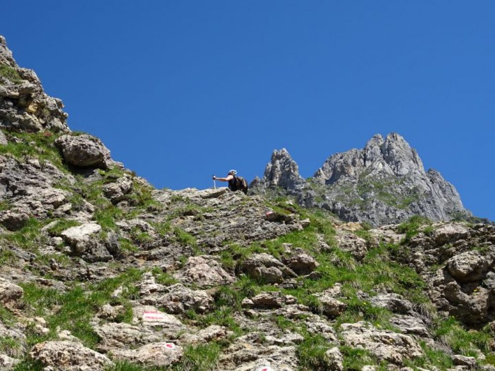
The terrain gradually becomes rugged. The last meters of altitude are climbed over rocks and scree. Shortly before the saddle, at a signposted turn-off, follow the sign “Brandjochspitze for experienced climbers only” on the left.
The Frau Hitt within reach
Section 5: Frau Hitt Saddle – Brandjoch
Around 600 metres in altitude, or a good hour, are still required to reach the summit. You ascend on the broad eastern ridge in a westerly direction. Sheep, chamois and, if you are lucky, ibexes.
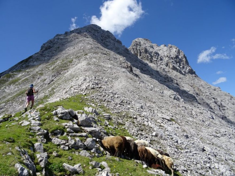
The Frau Hitt Saddle with a view of the Vordere and Hintere Brandjochspitze
Finally, the route leads over the rocky ridge, which is secured with wire ropes, briefly swerving into the northern flank, up to the Vordere Brandjochspitze.
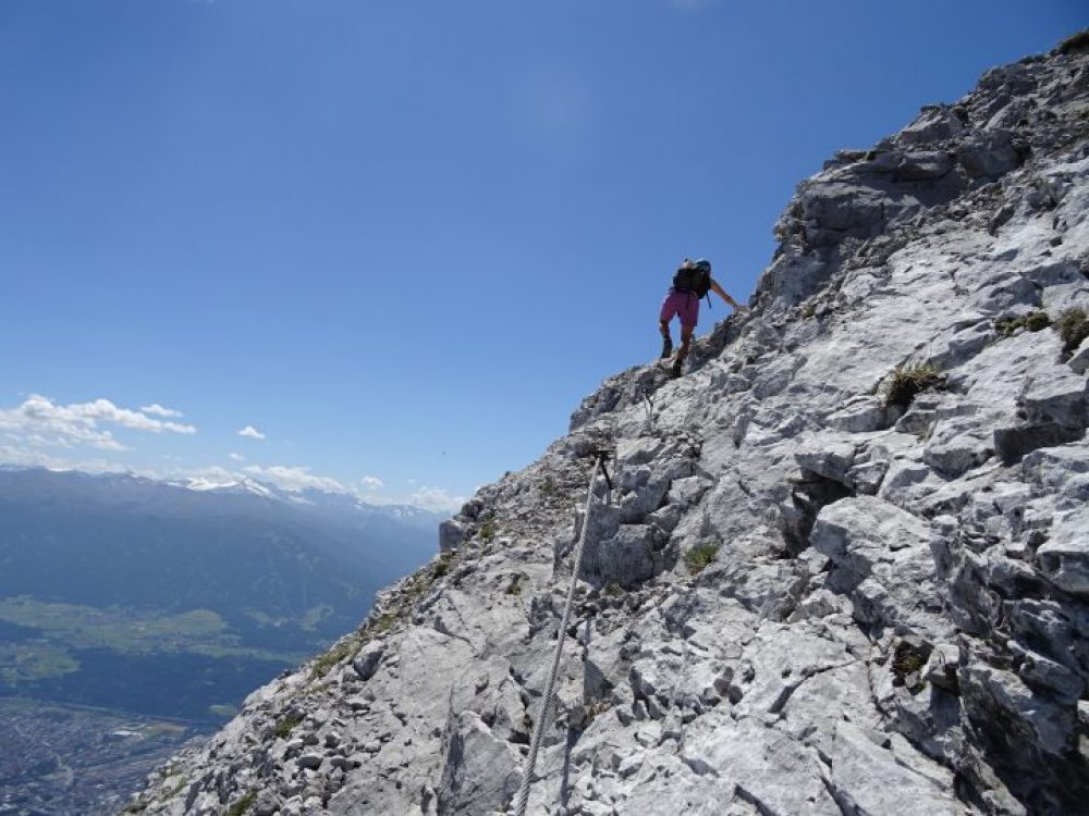
The path to the summit is secured with steel ropes
Brandjoch summit
After a good 3-4 hours of hiking or 1.700 meters of altitude difference the summit is reached. The panorama is fantastic, in the north the fantastic Karwendel and in the south the Inntal lies at your feet.
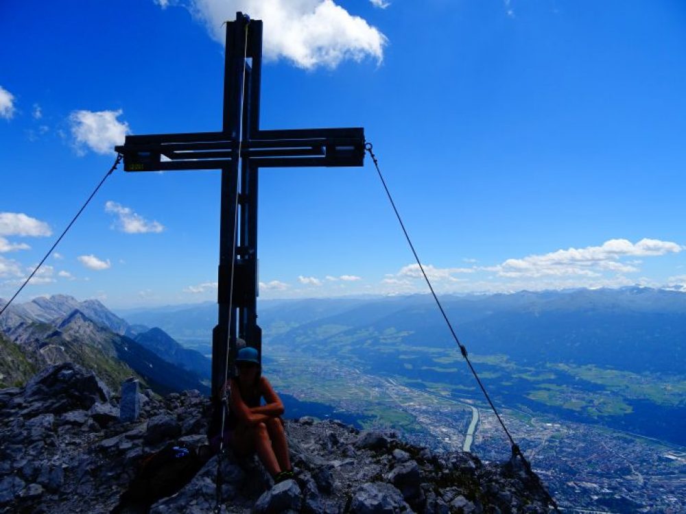
Summit cross on the 2,559 m high Vorderen Brandjochspitze

The unique view from the Brandjoch to Innsbruck
Stage 6 The descent: Brandjoch – Seegrube
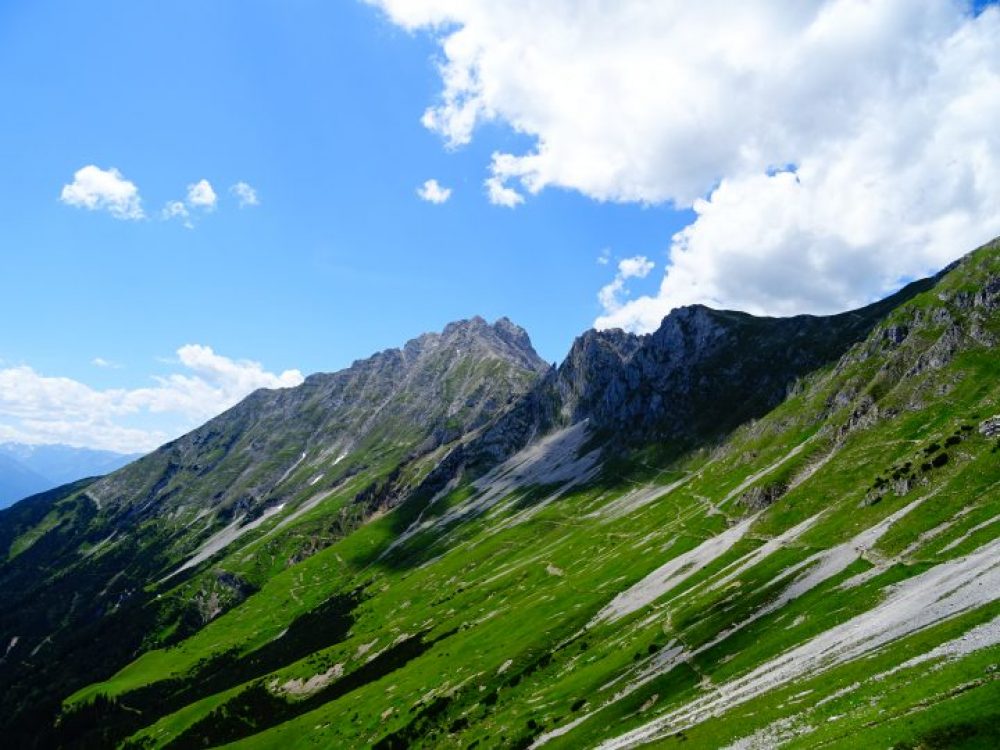
The descent to Frau Hitt Sattel is the same as the ascent. Once there, however, it is recommended to take the path to the Seegrube mountain station at 1,900m. It takes about 40 minutes to cross the slopes of the Nordkette before you reach the Seegrube restaurant where you can fortify yourself.
A view back to the Brandjoch on the way to Seegrube
With the cable car you reach the Hungerburg. From there the Hungerburgbahn takes you directly to the city center.
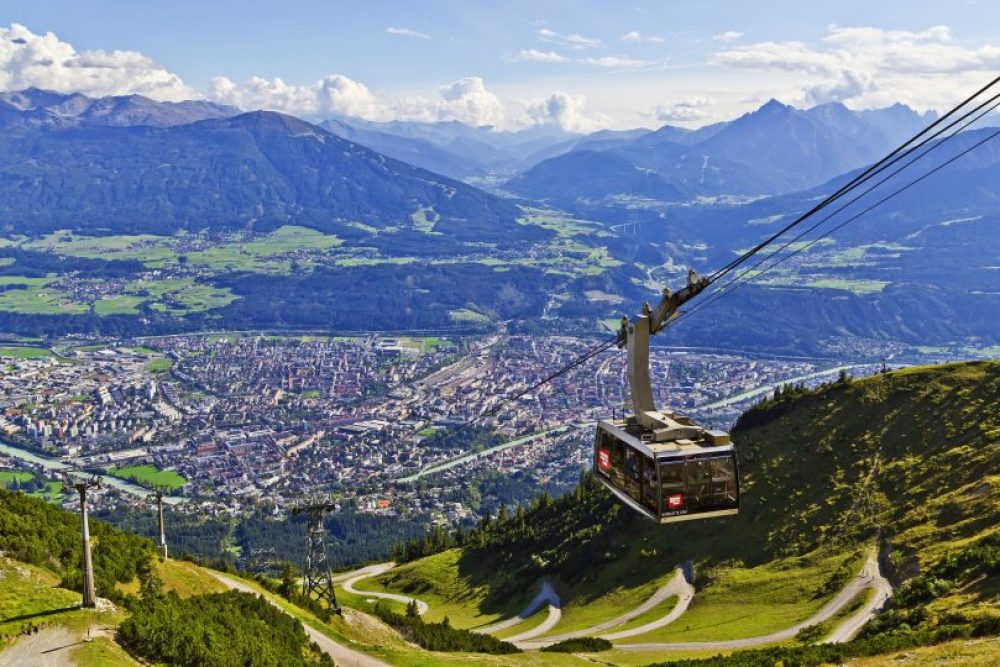
To Innsbruck with the cable car © Tourismusverband Innsbruck/ Christof Lackner
Alternatives:
- Thesame descent as the ascent: Höttinger Alm and Umbrüggler Almrefreshment stops
- With the mountain bike parked on the Höttinger Alm to Innsbruck: additional refreshment stop Arzler Alm
The alternative: Seegrube – Brandjoch
If you want to take it a little easier, a trip from the Hungerburg to the Seegrube is a good idea! The ascent to the Brandjoch is considerably reduced (around 700 hm or 2.5 hours: tour description).
The drive from Innsbruck to the Seegrube takes only 20 min. so nothing but up to the Brandjoch!
Photos (if not marked otherwise): © Martin Grießenböck
Show me the location on the map
Similar articles

Strolling through the market on a Saturday morning, chatting with the traders and farmers, just letting yourself…

One of my fondest memories of Easter is breaking the fast as a family. While…

Spring at last! As soon as the sun invites you to take a stroll in Innsbruck and…

In the Christmas bakery in Innsbruck A few years ago, a friend and I were overcome by…