Show me the location on the map
Similar articles

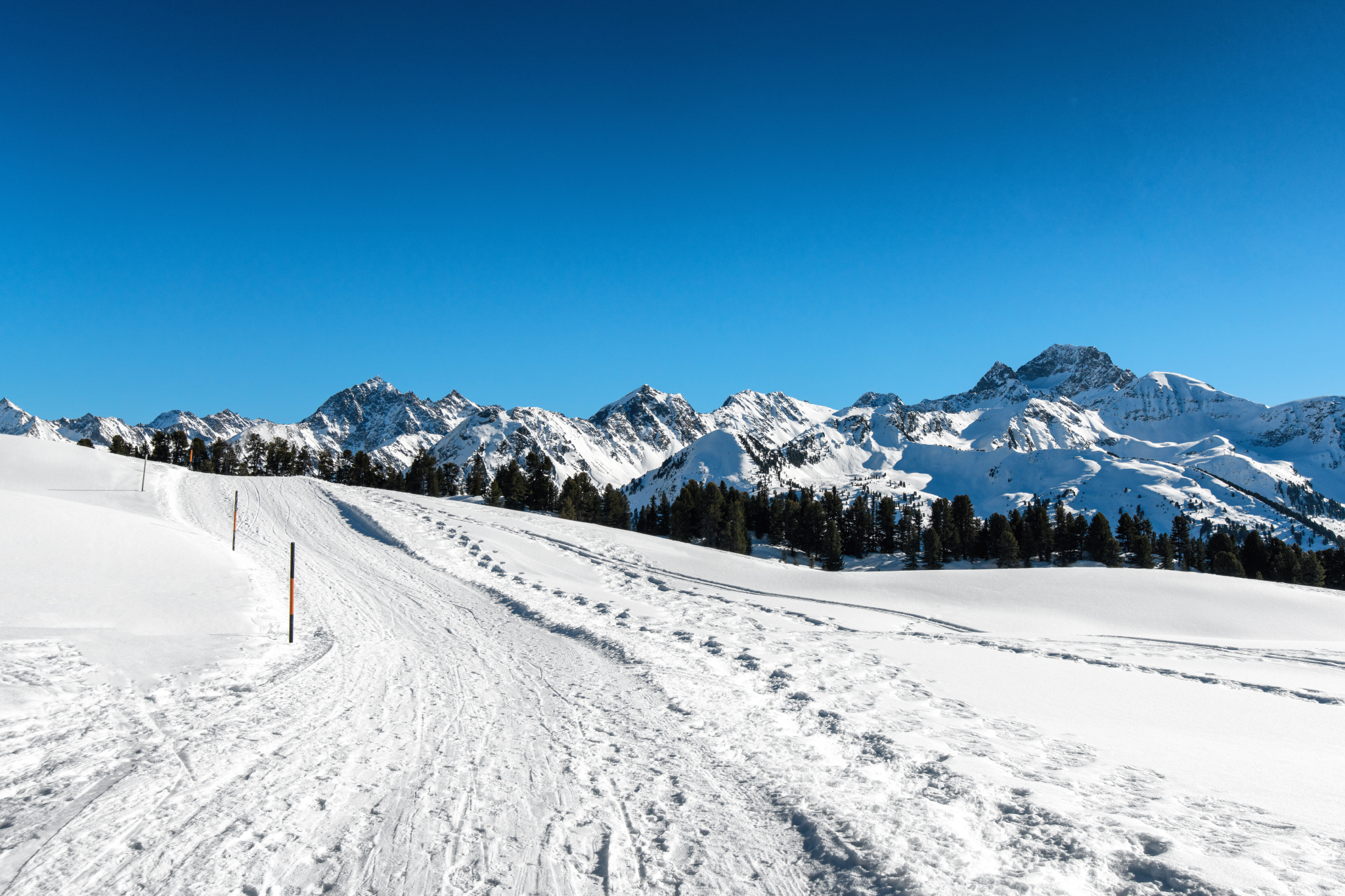
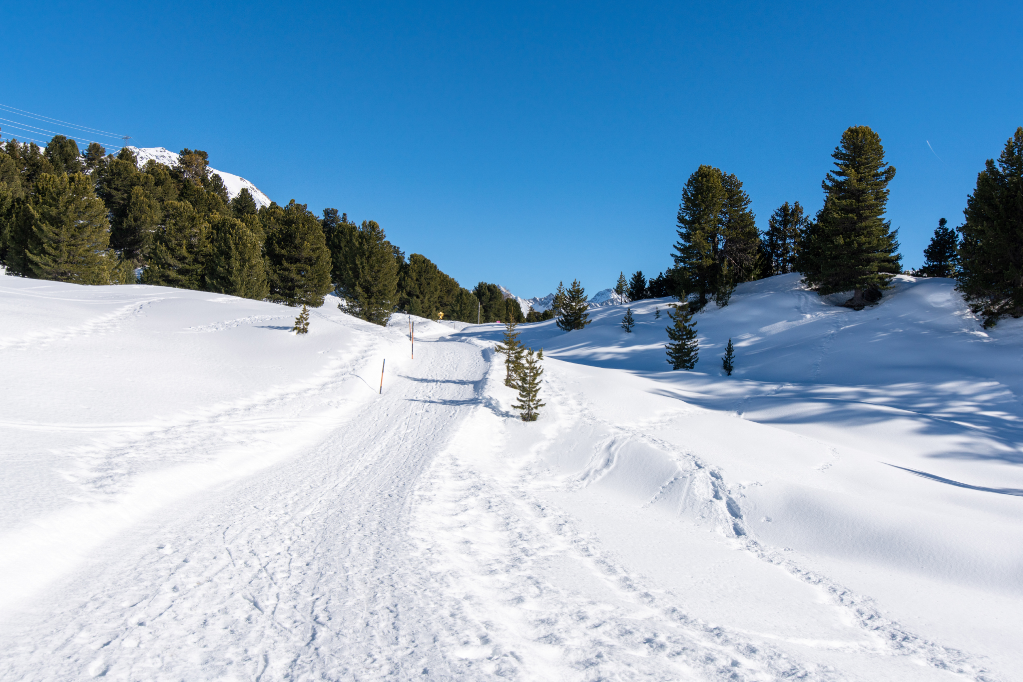
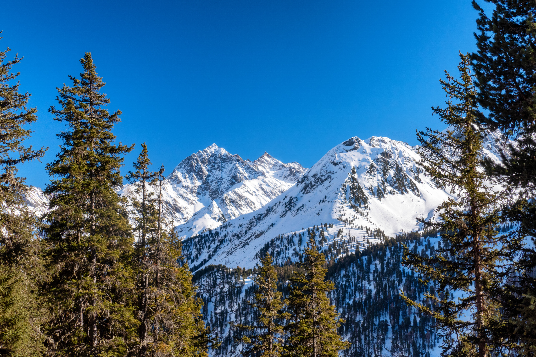
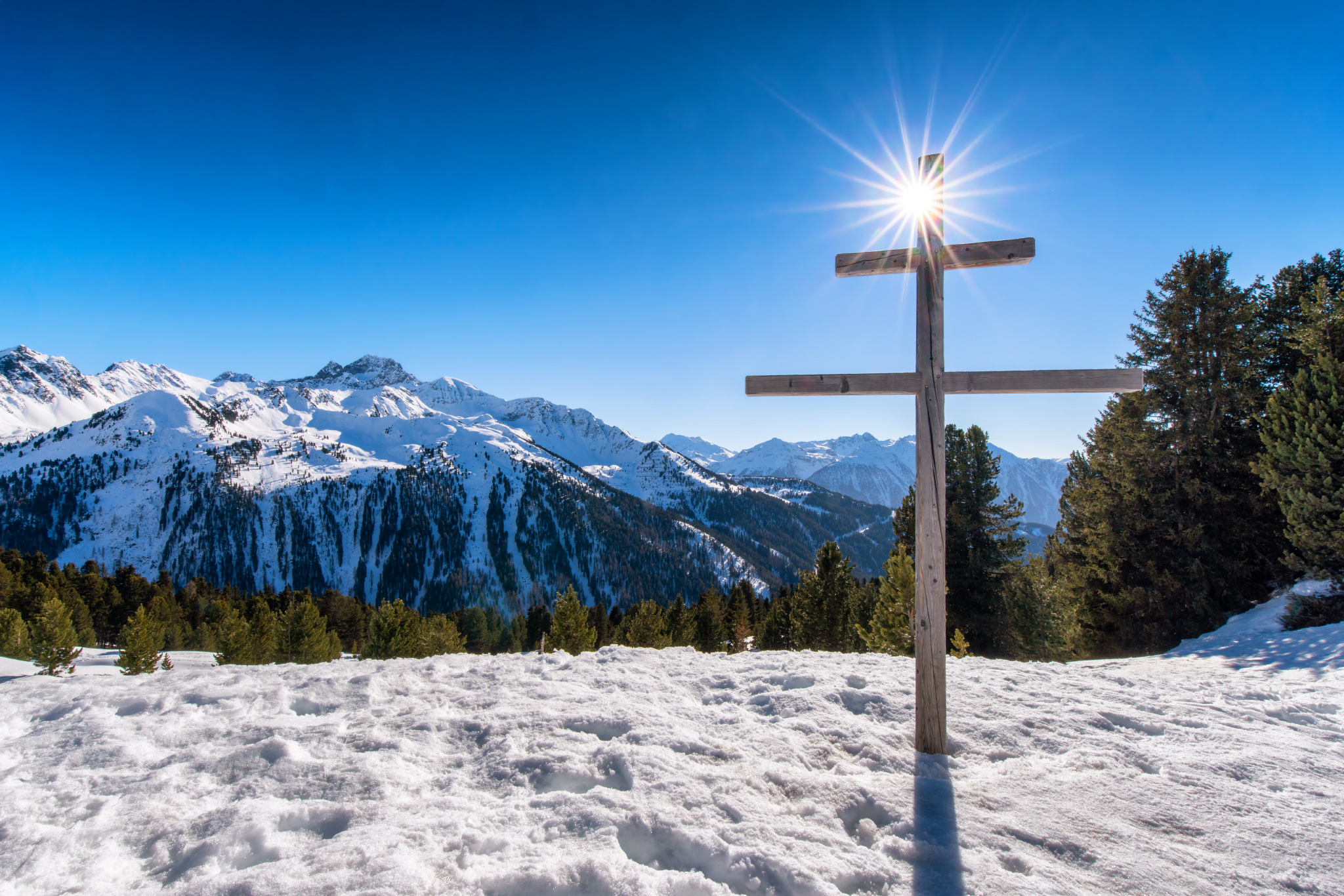
Mrs. Holle has generously provided us with a fresh blanket of snow. An impressive 50 centimetres fell…

The barn with the ski rental on Igl's village square is getting a bit long in the…
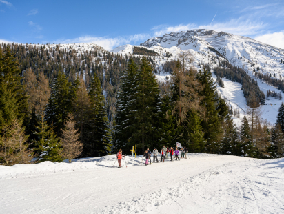
The "White Roof" a.k.a. the Axamer Lizum If you've always wanted to try snowshoeing, this is the…
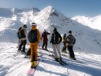
There is a very lively freeride scene in Innsbruck. The Freeride Academy Innsbruck, which I am introducing…