
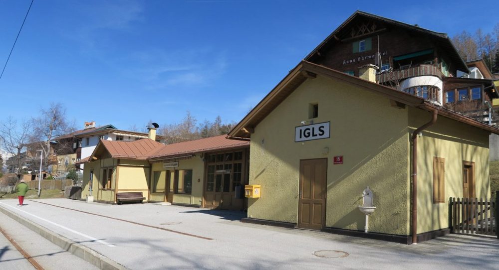
How far can you travel with a standard Innsbruck bus ticket? In Innsbruck, a flat rate applies to the bus and tram rides within the “Core Zone (Kernzone)” which not only includes the city centre but also a few satellite villages. The villages do not seem far at all on the map but their rural charm makes them ideal destinations of delightful little trips for tourists and residents alike. Take Igls for example. It is the southern destination (within the Core Zone) of Bus line J which magically connects the mountains in the north (Nordkette) and the ones in the south (Patscherkofel). Just hop on a bus in the busy shopping district and fifteen minutes later, voila! You are on the other side of the Paschberg hill and beginning a tranquil walk.
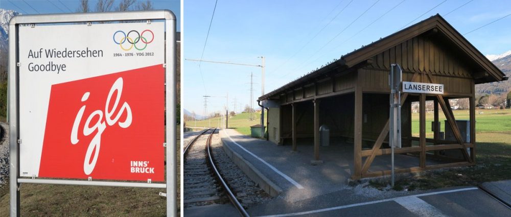
Igls
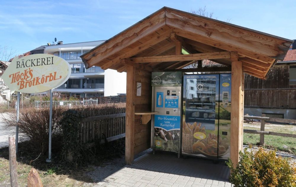
The walk around Igls is like a box of assorted mini chocolates. There are four bus stops in Igls and I got off at “Igls Altes Rathaus” in the west so that I could walk through the village. As soon as I got off the bus, something caught my eye. There stood a pavilion of vending machines and the products they sell are quite unusual.
© Ichia Wu
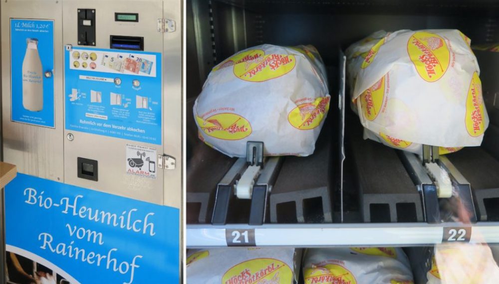
One sells fresh bread supplied by the nearby Höck Bakery (Bäckerei Höck) which is family-run. The other sells organic unpasteurized milk (Rohmilch) from Biohof Rainerhof in the neighbouring village VIll. I find this local, organic but mechanical fusion very interesting. Obviously the convenience they provide is more appreciated in villages.
© Ichia Wu
Then I spotted two drinking fountains on my way. Most of the drinking fountains run exclusively in summer and my article here shares some cute examples that you can find in Innsbruck.
© Ichia Wu
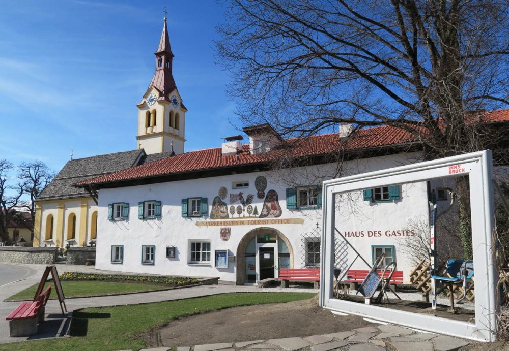
Tourist Information Centre and Haus des Gastes Museum
I have passed by this building many times before and I just love the adorable painting on the façade. This kind of wall decoration is called Lüftlmalerei and it is quite popular in Tyrol and Bavaria.
This building was a primary school but now hosts the Tourist Information Centre on the ground floor. The Haus des Gastes Museum on the first floor has its own entrance at the back of the house. Just take the path between this building and the ski rental shop next door. You won’t have to commit a lot of time to this museum so it is recommendable to include it in the walk. Please note that it opens on weekdays only (but the visit is free of charge and there is a public toilet inside).
© Ichia Wu
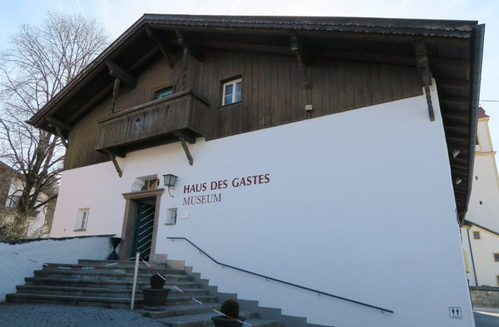
“Haus des Gastes” means “House of the Guest”. © Ichia Wu
The Exhibitions
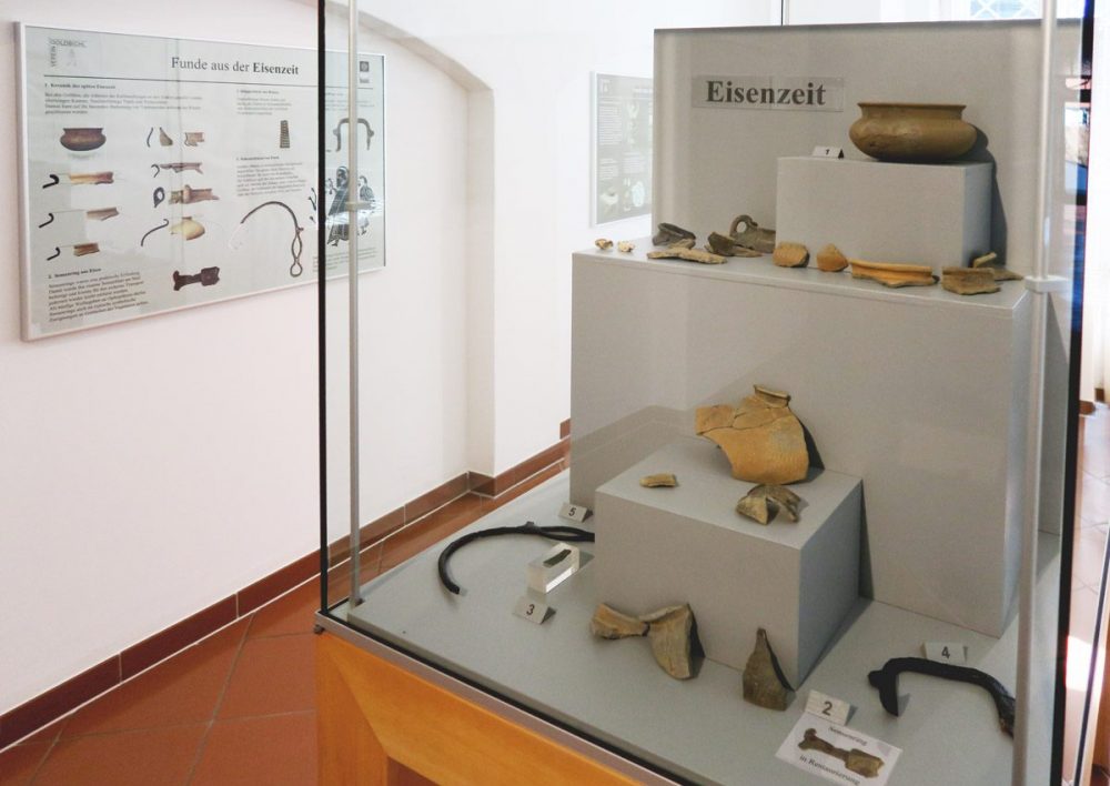
The museum focuses on three themes: the Goldbichl archaeological site, winter sport memorabilia, and local carnival figures. Goldbichl hill (1042 m) is about 30 minutes away on foot in the south of the museum. Findings indicate that the hill was an important place of worship in the Bronze Age, and the oldest find at Goldbichl was a Neolithic arrowhead.
© Ichia Wu
The model of Goldbichl is shown in the picture below. I think this sacred site was chosen for its good Feng Shui. In the vicinity there is another archaeological site called Goarmbichl where the foundations of two Iron Age houses were found.
Igls hosted bobsleigh and luge competitions for the 1964 and 1976 Winter Olympics. Today you still have the opportunity to take a ride and feel the thrill in the same venue.
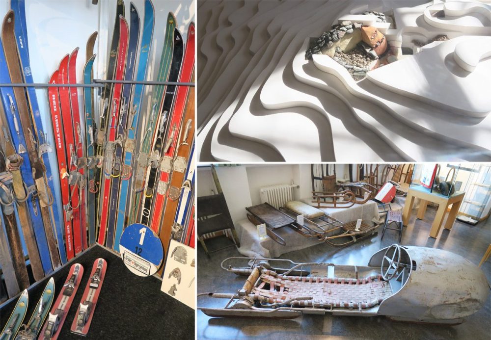
There are also many badges, medals and historic photographs on display. © Ichia Wu
The magnificent spring carnivals in Tyrol are called Fasching or Fasnacht and many villages have their own traditional characters wearing extraordinary masks, headgears and dresses.
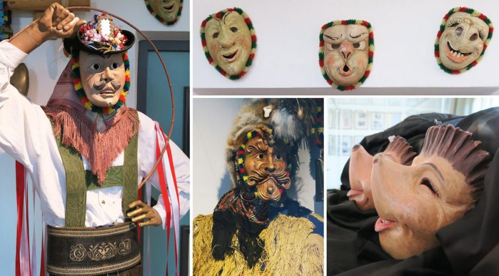
From left to right: Schiane who symbolises spring, Zottler who represents winter and the hedgehog couple (Mecki-Paar) unique to Igls © Ichia Wu
In winter, there is a ticketed folk dance evening show in Igls called Tiroler Abend (Tyrolean Evening). In July and August the show is performed weekly (free of charge) in the back garden of the Haus des Gastes.
Exploring the Neighbourhood
Coming out of the museum, I took the path (Obexerstraße) right in front of me and walked along a brook — Viller Bach — through the residential area. The sound of the stream was relaxing and the gardens in front of the houses were lovely. It was hard to imagine how some of the water would eventually end up in the Black Sea, after joining the Inn and the Danube. The Goarmbichl site mentioned above is close to the Viller Bach in the north (in Vill).

The walk starts from the south. © Ichia Wu / Wunschbild Illustration
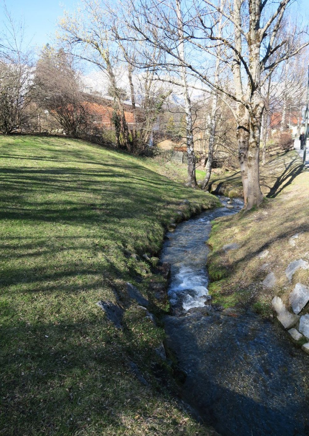
The Viller Bach, which originates on Patscherkofel © Ichia Wu
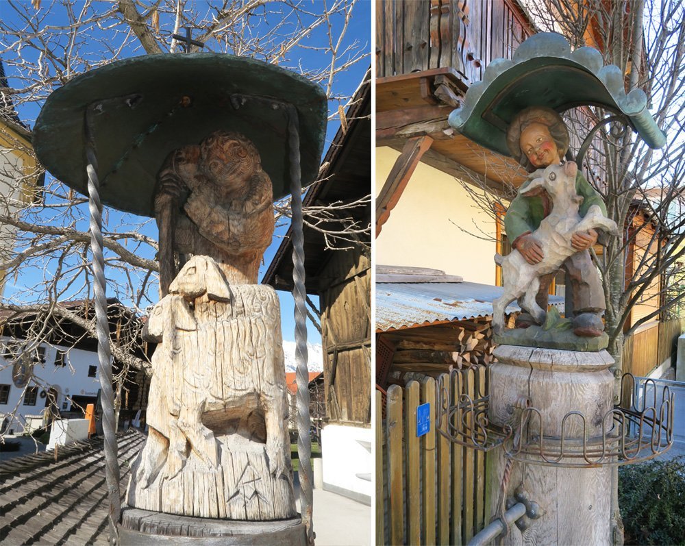
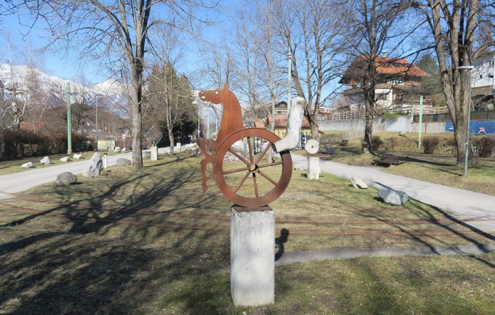
The end of Obexerstraße is a small sculpture park adjacent to the end station of Tram 6 (Igls). Therefore, several sculptures feature the element of wheels. I turned left here and continued into an alley.
© Ichia Wu
© Ichia Wu
Surprise, Surprise
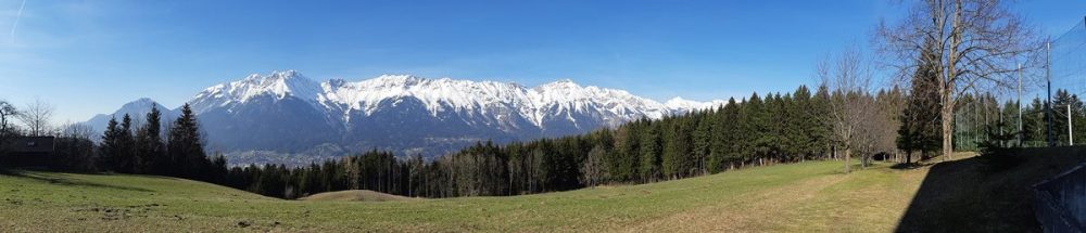
Honestly I didn’t know what to expect next, so I was properly surprised when the view suddenly opened up after a curve to the right. I entered a vast area of farmland and could see glorious mountains in three directions. Directly in front of me was of course the snow-capped Nordkette – the ENTIRE Nordkette range! It was very impressive.
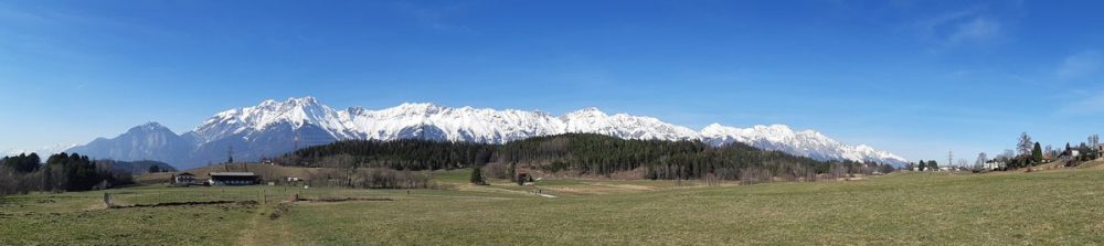
The Nordkette (2637 m) in early spring was still covered by snow. © Ichia Wu
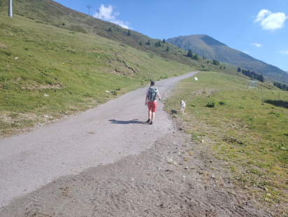
In the picture above, the wooded hill in front of the Nordkette is the Paschberg mountain and its summit is Lanser Kopf (930 m). My plan was to turn left at the edge of the Paschberg forest but before that, I took my time appreciating the mountains from the field. There were several people also enjoying a walk and some were with dogs and children. A great part of the field is actually privately owned, but it is permitted to walk across (riding of any kind is not allowed.)
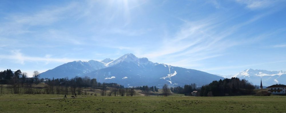
In the west of this field beyond the Sill valley sits the Saile (aka Nockspitze, 2404 m). The popular ski area Axamer Lizum (1580 m) is just behind the peak of the Saile. © Ichia Wu
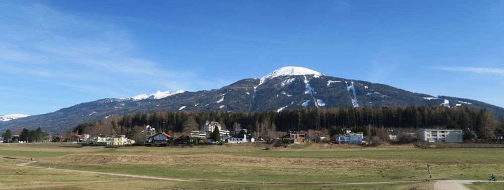
Behind me then in the south-east was the mellow Patscherkofel (2246 m), twice venue of the Winter Olympics. The new cable car there (Patscherkofelbahn) opened in 2017 and Bus J also goes further south to the bottom station of the cable car (outside the Core Zone). © Ichia Wu
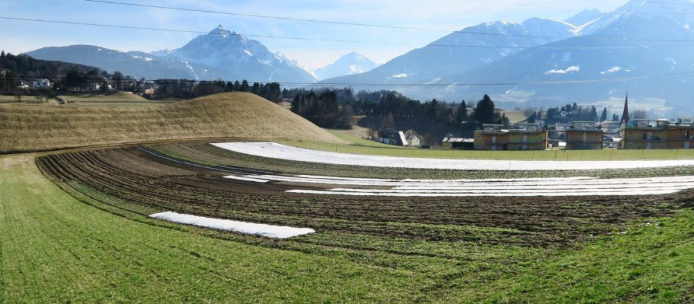
What will grow on this farm? The mountain on the left is the marvelous Serles (2717 m). It is in the directly south of Innsbruck between the Saile and the Patscherkofel. © Ichia Wu
Reaching the Forest
After walking west along Seeweg on the edge of the forest, I turned right onto the uphill Grillhofweg. The mansion at the junction was surrounded by a lush garden and there was even an idyllic well.
The next point of interest was the Grillhof. Although the name smells really good, it has nothing to do with barbecueing! It is now a state-owned education institute and Grill was the surname of the original landlord in the 15th century. At the entrance of the Tiroler Bildungsinstitut Grillhof there stood a red sign, and it was easy to guess that PRIVATGRUND means Private Ground. It is the small print underneath that matters. Walking through (the institute) is permitted (at your own risk) and dogs should be put on a leash here.
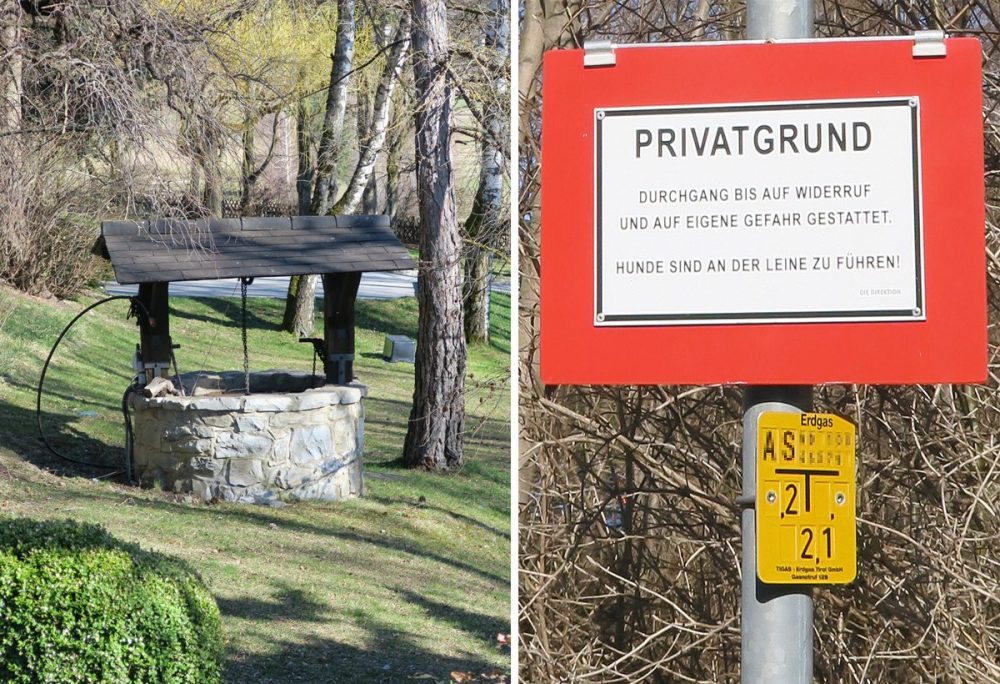
© Ichia Wu
The reason I cut through the premises of Grillhof (at my own risk!) was to reach this scenic viewpoint. The villages at the foot of Nordkette could just be seen while the city below was still shielded from view by the forests. It felt peaceful.
Then I turned right, walked past the sports ground and arrived at the entrance to the Paschberg forest.
© Ichia Wu
The Paschberg
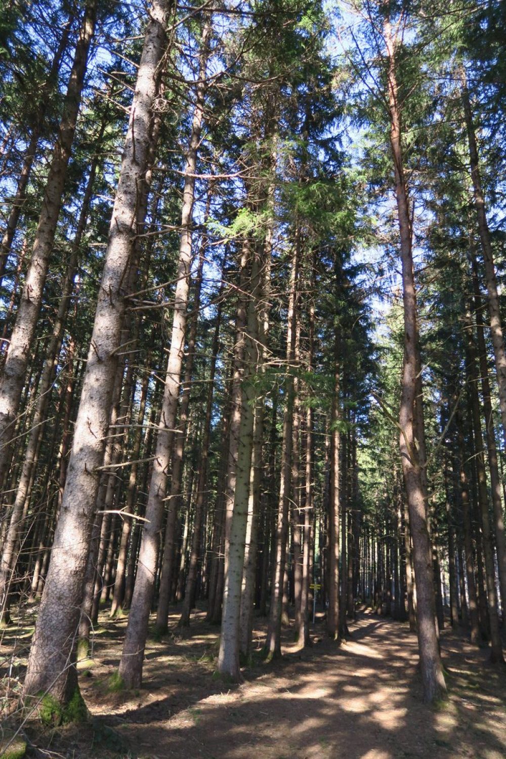
The trees in the forest were tall and rather homogeneous. I saw sign posts occasionally but once I wandered off the main path, it became less and less clear where the paths were. Some areas were muddy.
© Ichia Wu
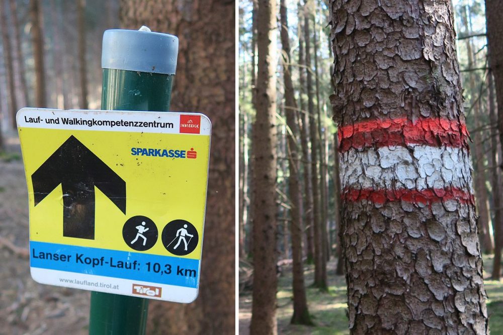
The red-white-red trail signs are hikers’ friends in the Austrian Alps. © Ichia Wu
At one point, I noticed something rather out of place on the ground. Someone left a PINECORN message and it read “Labyrinth” above an arrow formed by tree branches. Labyrinth is spelt the same in both English and German. I got the message! It was already 4pm so I turned around and took a clear path within the fringe of the forest instead.
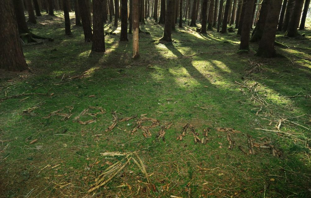
Google map did not help me much here. The OpenStreetMap app and Pokemon Go however worked like a charm. © Ichia Wu
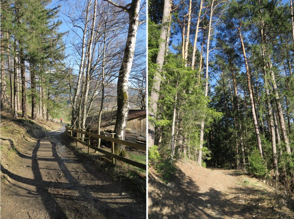
Some green tunnels at the fringe of the forest © Ichia Wu
The Lanser Lake
Coming out of the forest in the east, I arrived at the Lanser Lake (Lanser See, 840 m). It was very quiet at this time as the swimming season only starts in May. Fed by nutrient-rich groundwater, it is a natural lake with complete facilities, including a restaurant and nudist areas.
The Water Lily Pond (Seerosenweiher or Lansermoor) in the north of the Lanser Lake was also formed by retreating glaciers. It is protected for nature conservation purposes, and not for swimming.
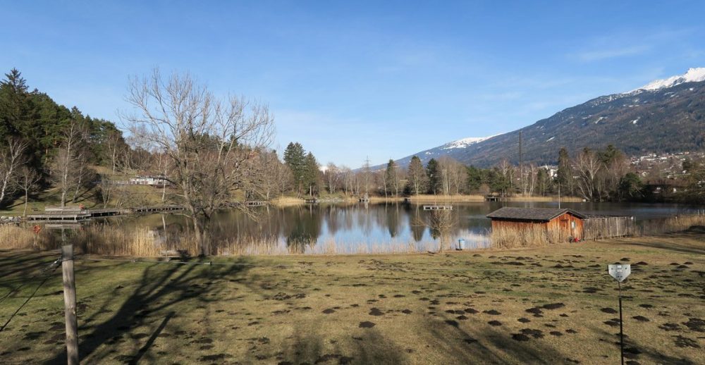
The Lanser Lake © Ichia Wu
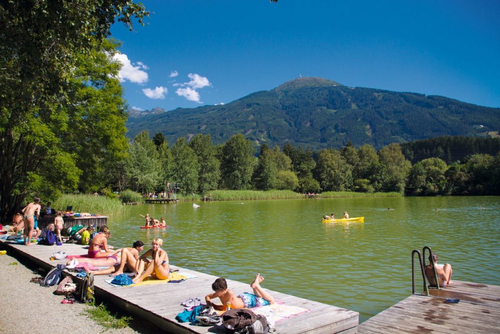
The Lanser Lake in summer, with the Patscherkofel (2246 m) in the background © TVB Innsbruck / Tommy Bause
Tram 6
In the south of the Lanser Lake there is a well-located tram stop, Lansersee, served by line 6. I like trams and this route is particularly wonderful. However, extra attention has to be paid when you read the timetable of Tram 6. Take the first page for example. There are additional labels of a, b and c on the top. The “c” ones only run on school holidays from May to September and the “a” only runs during school terms from Monday to Friday. The other option for going back to Innsbruck is to take Bus J at the nearby stop Romedihof.
© Ichia Wu
To sum up, this leisurely trip combined archaeological finds, local traditions, a brook, meadow, farmland, woodland, a lake for swimming and great views of the mountains, and Igls is merely a 15-minute bus ride away.
Show me the location on the map
Similar articles
View from the dam, Ehnbachklamm…
For me, summertime is yoga time. Of course, you can practice yoga all year round, but especially…
When it’s hot, we’re drawn to the water. When we go on a city trip, we want…
For me, there’s hardly anything better than heading out into the mountains—when time allows. The first rays…