The classic hike in the Innsbruck area: the Nockspitze (=Saile) in the Axamer Lizum. Nevertheless, it is my favorite tour for a sunny autumn hike when it is already cooler and the sun is low. I love the tour because the view there always enchants me and even more so in the fall. To get away from the crowds on this often busy mountain, I make it a circular hike and don't take the usual route downhill, but instead head towards the Nockspitze Vorgipfel, Pfriemeswand and Zwölferspitze.
Ascent
In summer, but also in winter for ski tours, the Nockspitze is a popular hiking destination. However, the best time for this is in the fall, when the grass takes on different shades of red and brown, the sky is still blue and you can look into seemingly endless expanses thanks to the good visibility.
The start is the parking lot in the Axamer Lizum (note: €10 parking fee). From there, you first walk along the Birgitzköpflhaus lift to the Birgitzköpfel. The path is a little steep, but very easy to walk.
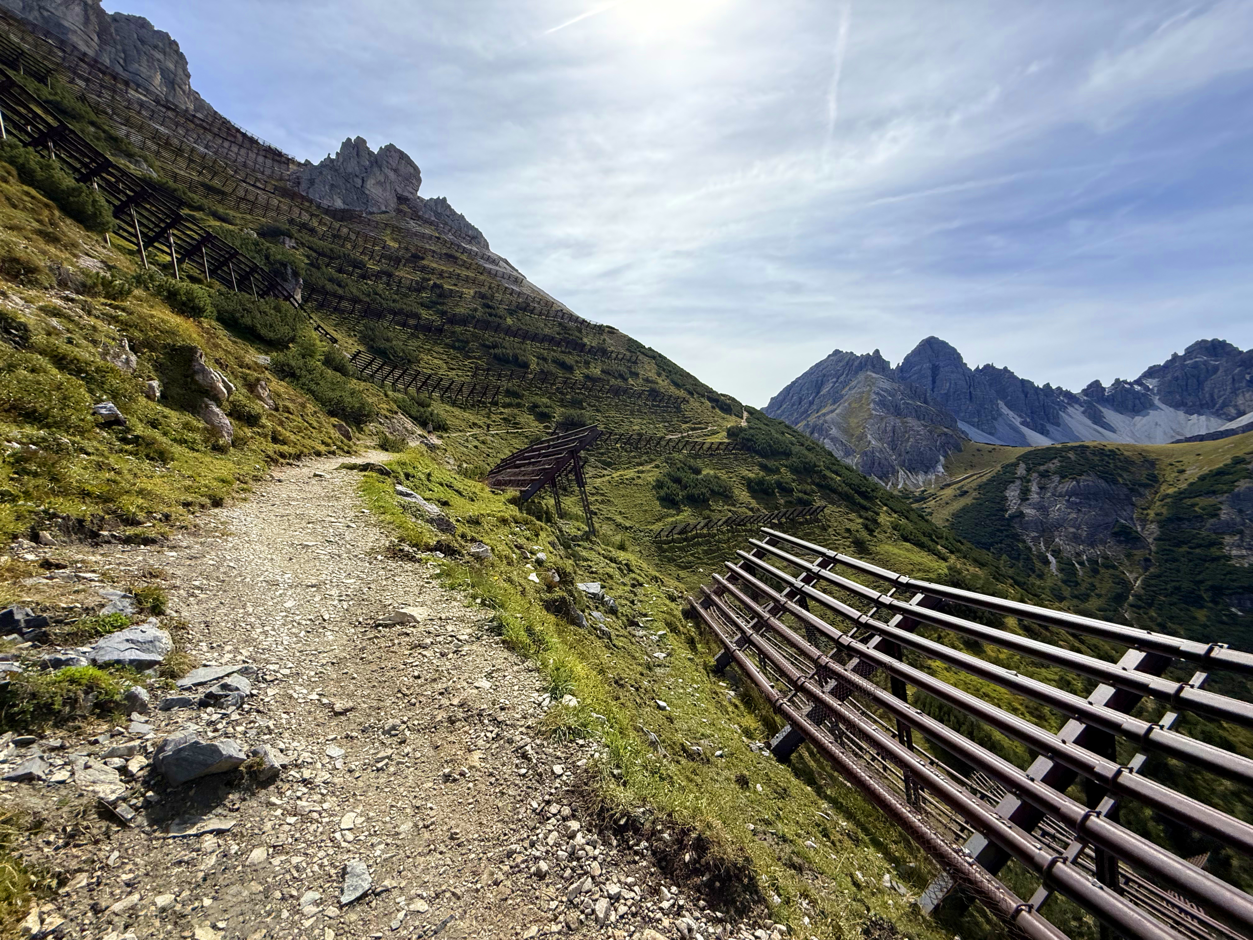
Hiking trail to the Nockspitze between avalanche barriers and with a view of the Kalkkögel. (c) Carina Profunser
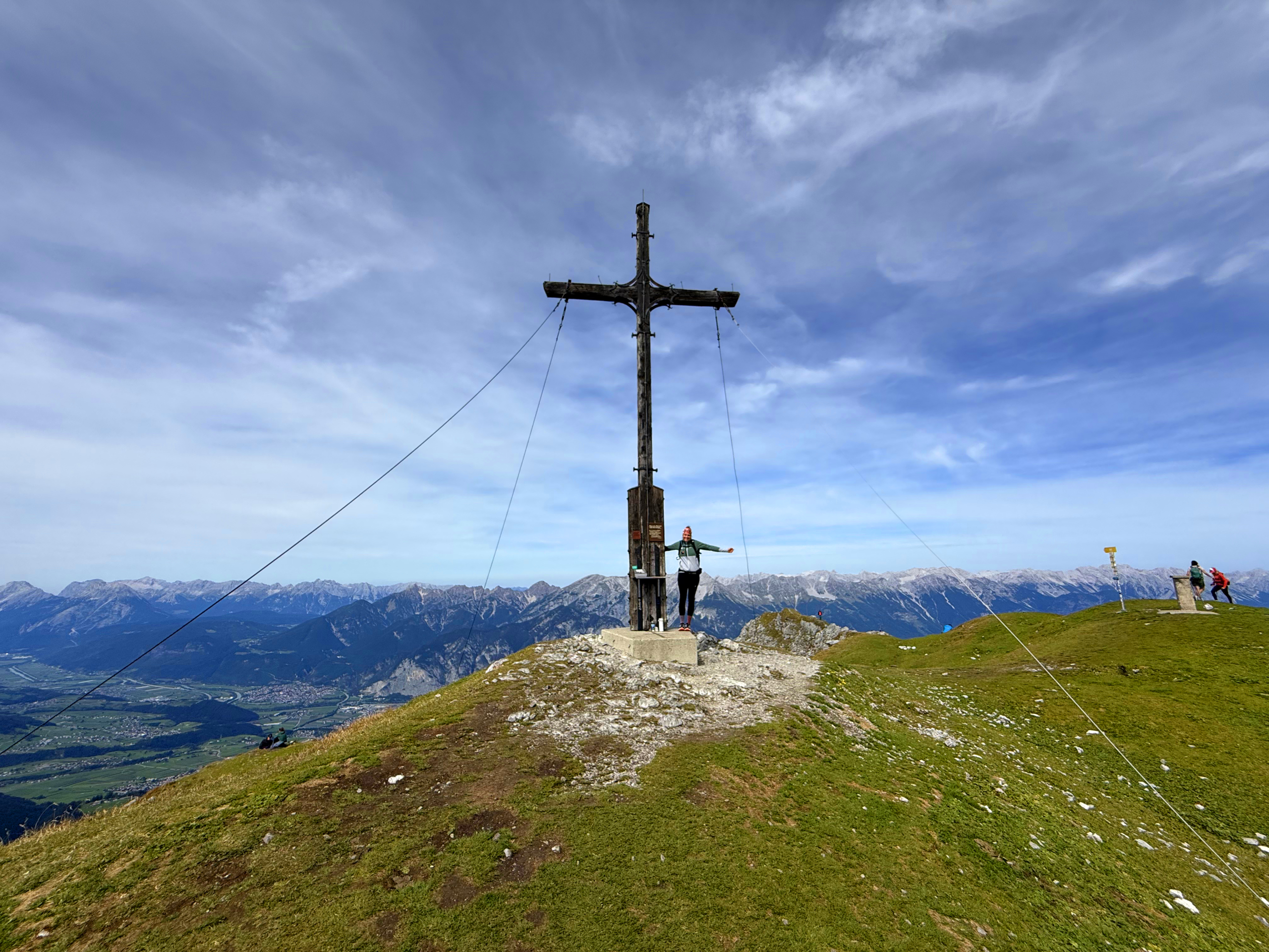
To the summit cross
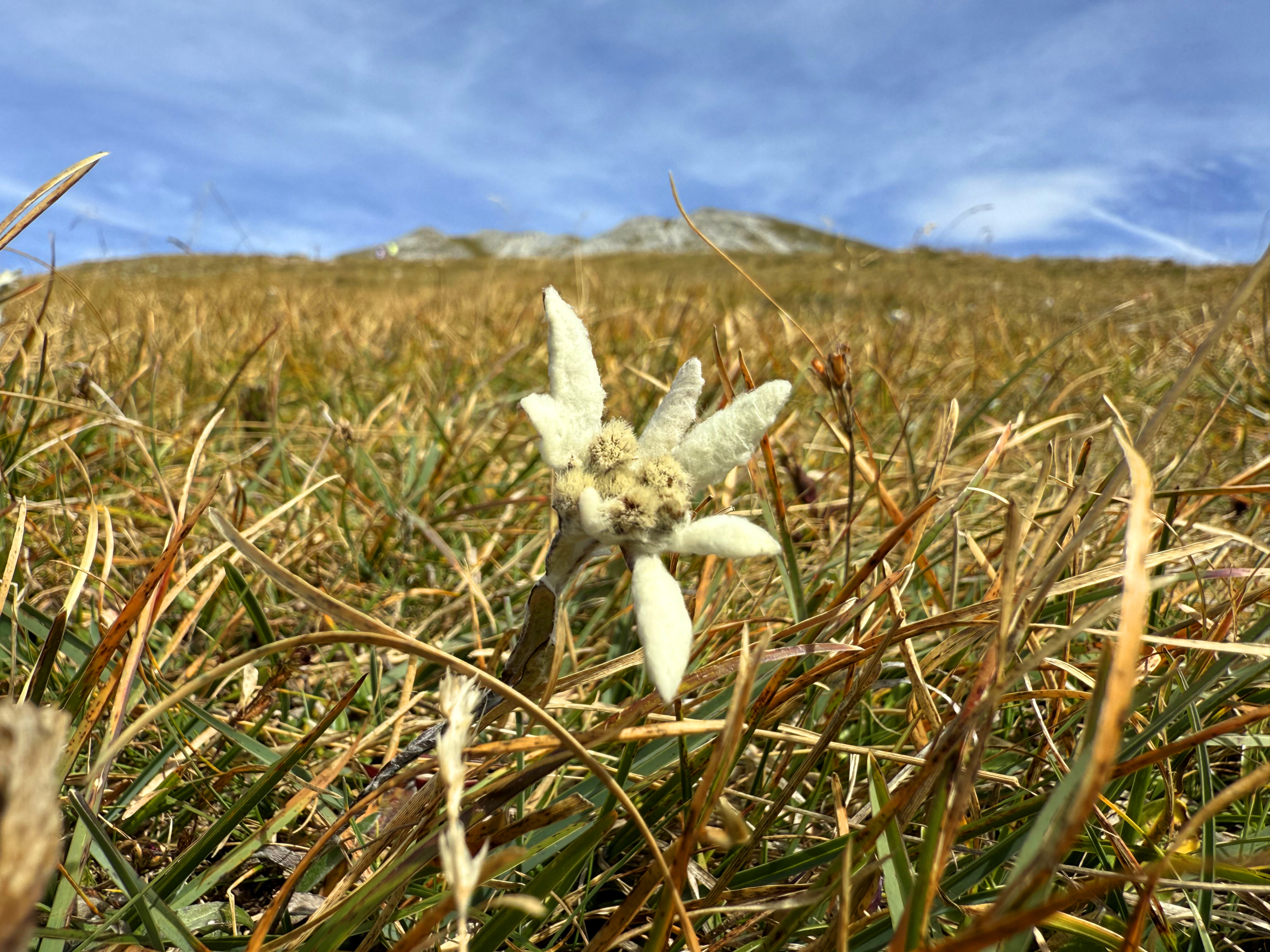
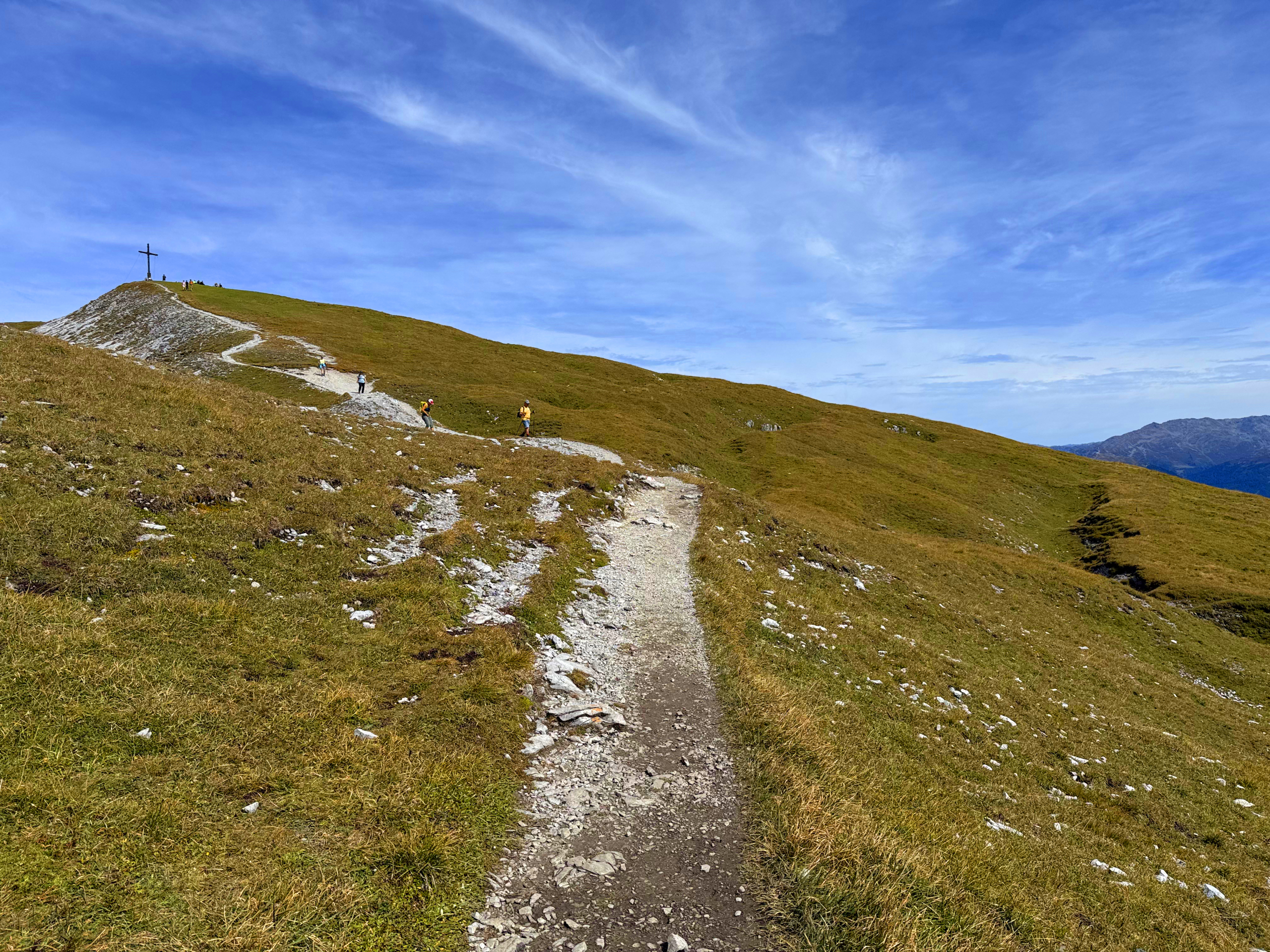
From the Birgitzköpflhaus you can already see the path to the Nockspitze. First you walk through avalanche barriers to the junction, where you turn left. In the sun, the trail climbs up to the summit. With a bit of luck, you will find the last naturally protected edelweiss flowers next to the path. The hike is stony, sometimes a little steeper and sometimes gentle until you reach the summit cross. If you like, you can sign the summit book at the top.
The last Edelweiss in bloom. (c) Carina Profunser
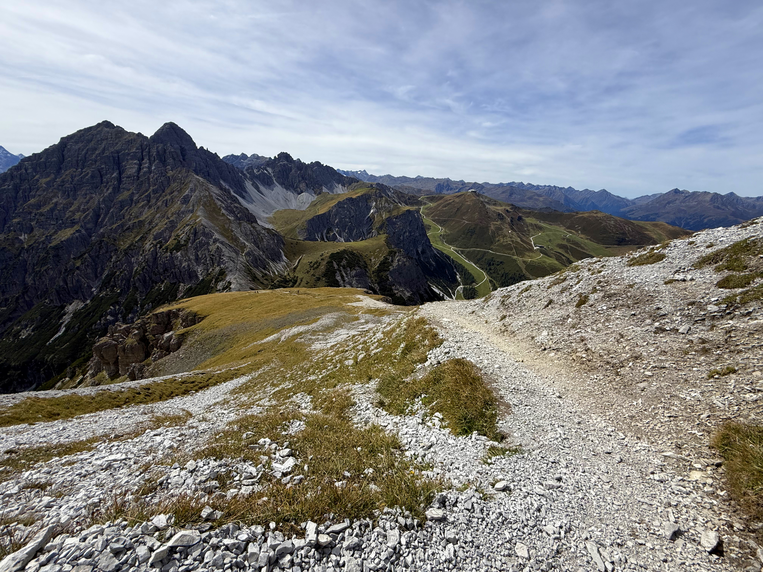
Ascent to the Nockspitze with a view of the Axamer Lizum and Kalkkögel. (c) Carina Profunser
Ascent to the summit of the Nockspitze. (c) Carina Profunser
Summit photo on the Nockspitze. (c) Carina Profunser
Descent via Vorderkreuz and Spitzmandl
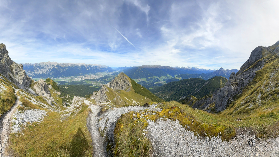
If you want, you can also walk the ascent route as a descent route. I opt for a loop and walk past the Nockspitze summit cross towards Nockspitze Vorkreuz. The view sweeps over Innsbruck, the Nordkette mountain range opposite and the Karwendel behind it. So beautiful!
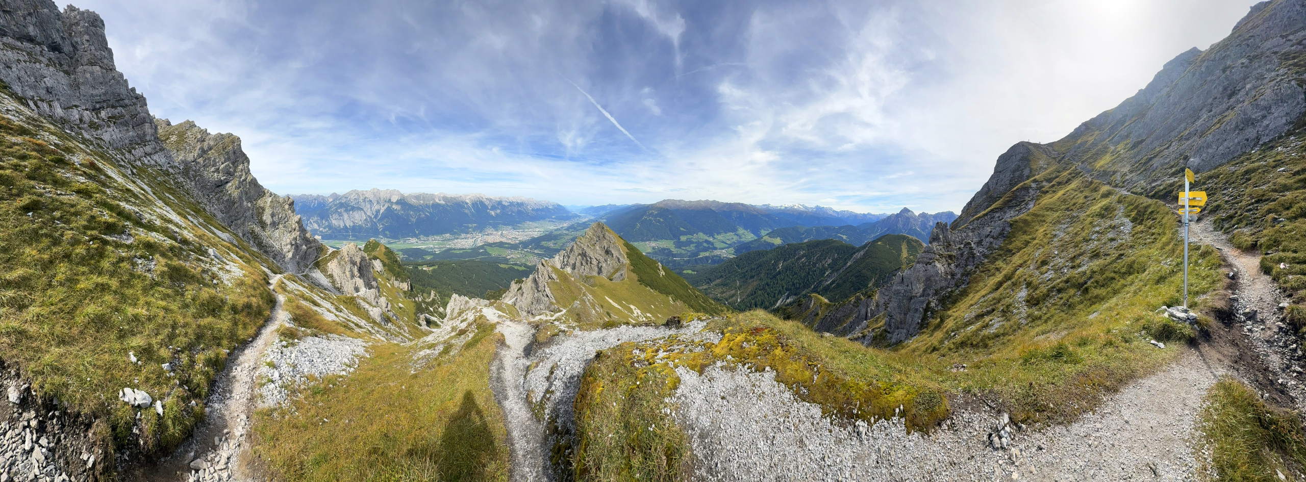
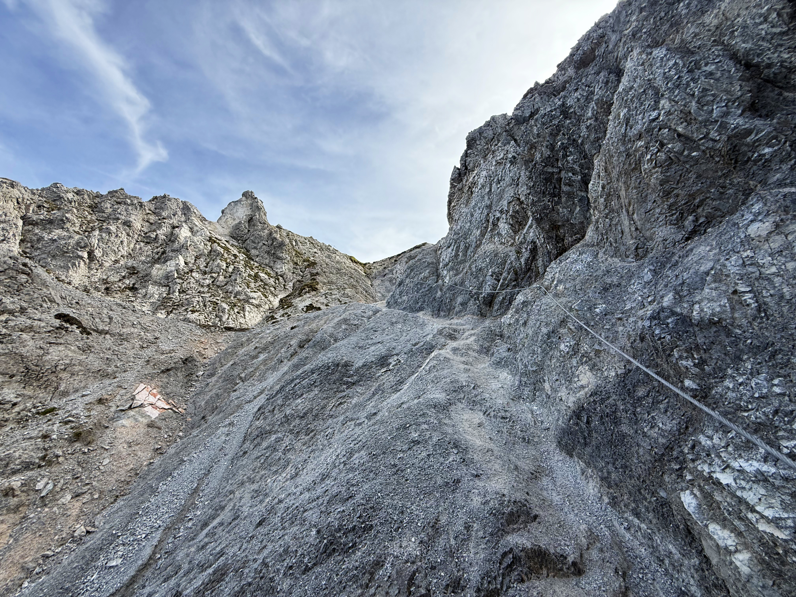
The route continues past the Vorkreuz on the right, a little steeper. You should be sure-footed when descending. In places you will also find ropes attached to the rocks, which makes the descent a little easier and safer. The Spitzmandl is getting closer and closer and towers mightily over Innsbruck. You have to stop here and enjoy the view: Mountains and city so close - only in Innsbruck.
Panoramic view of the Spitzmandl with Innsbruck and the Karwendel in the background. (c) Carina Profunser
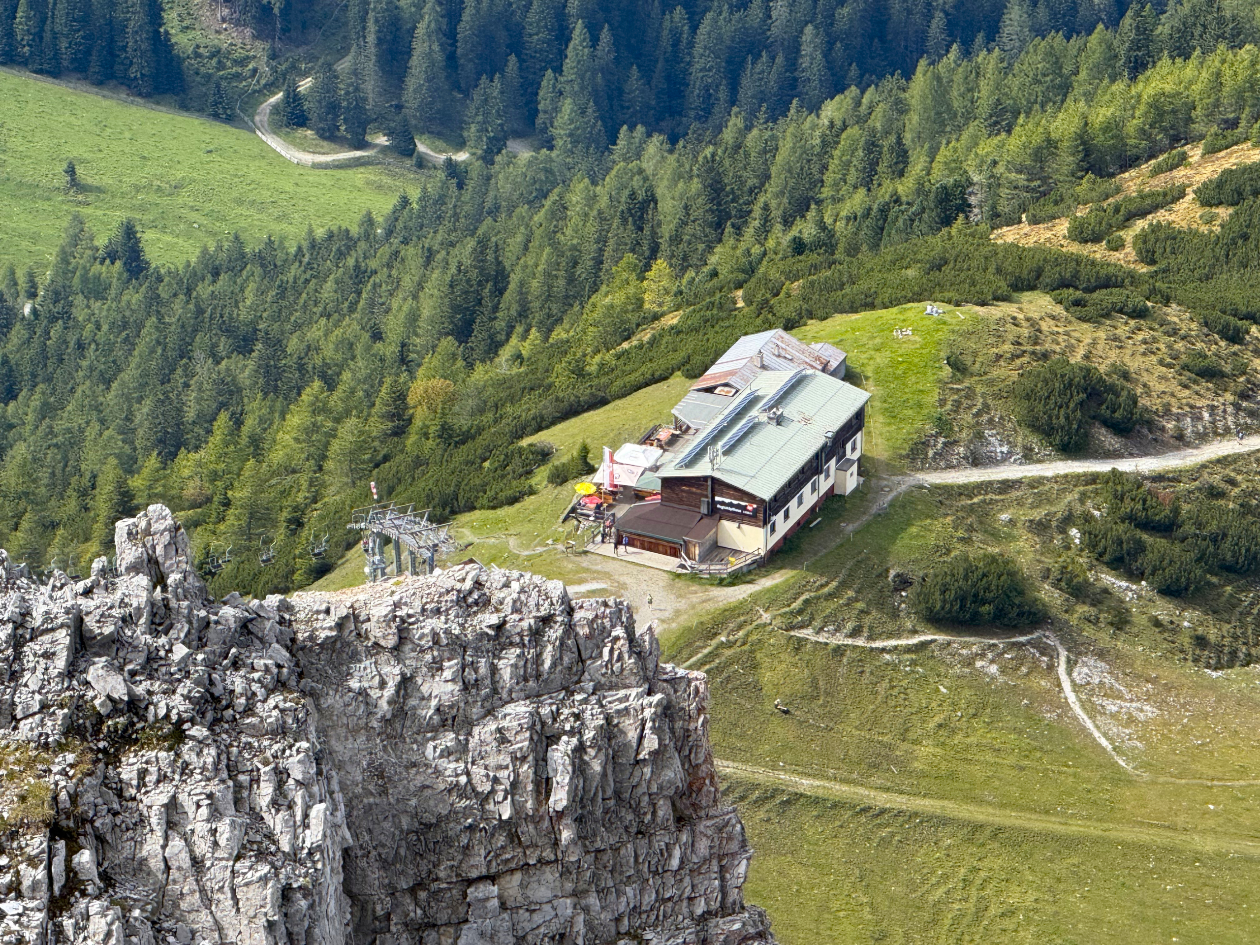
Pass the Spitzmandl and follow the signs towards Birgitzköpflhaus. A pleasant walk back between mountain pines, always with a view over Innsbruck and the Nordkette. You can stop off at the Birgitzköpflhaus and enjoy Tyrolean cuisine until September 21, 2025. The hut is open from 8:30 am to 4:30 pm.
If you want to extend the route, you can also take the Birgitzköpfel with you. The summit is just before the Birgitzköpflhaus and is easy to reach. From there, you can also have a wonderful view of the Nockspitze summit cross and proudly claim: "I was up there today."
View of the Birgitzköpflhaus from above. (c) Carina Profunser
Descent from the Nordkette towards Spitzmandl. (c) Carina Profunser
Route
Here you can download the route with GPX file.
Show me the location on the map
Sports enthusiast, professional curd cheese strudel tester, and 100% made in Austria. As a „true Tyrolean,“ she wants to share her personal highlights and insights from and around Innsbruck.
Similar articles
Every day, flocks of a small bird flit back and forth between the Nordkette and Innsbruck, capturing…
View from the dam, Ehnbachklamm…
For me, summertime is yoga time. Of course, you can practice yoga all year round, but especially…
When it’s hot, we’re drawn to the water. When we go on a city trip, we want…