
Show me the location on the map
Similar articles
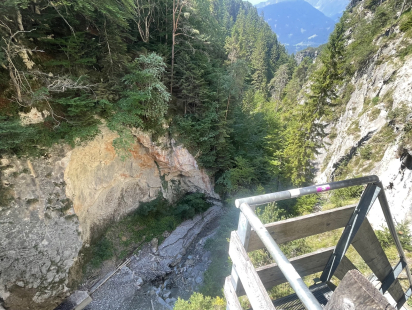
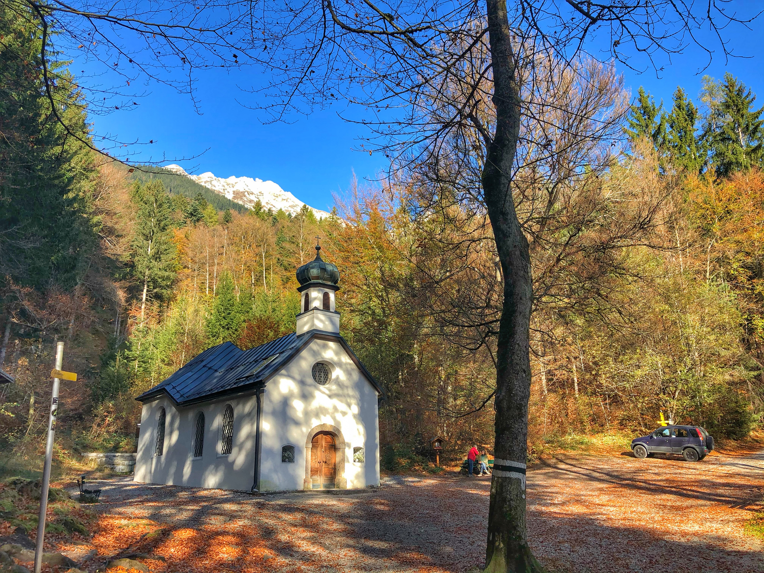
View from the dam, Ehnbachklamm…
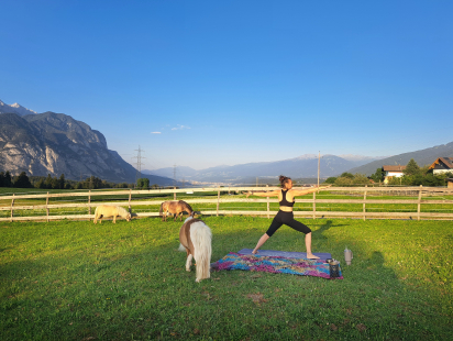
For me, summertime is yoga time. Of course, you can practice yoga all year round, but especially…
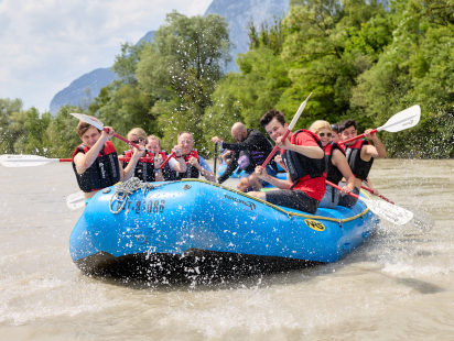
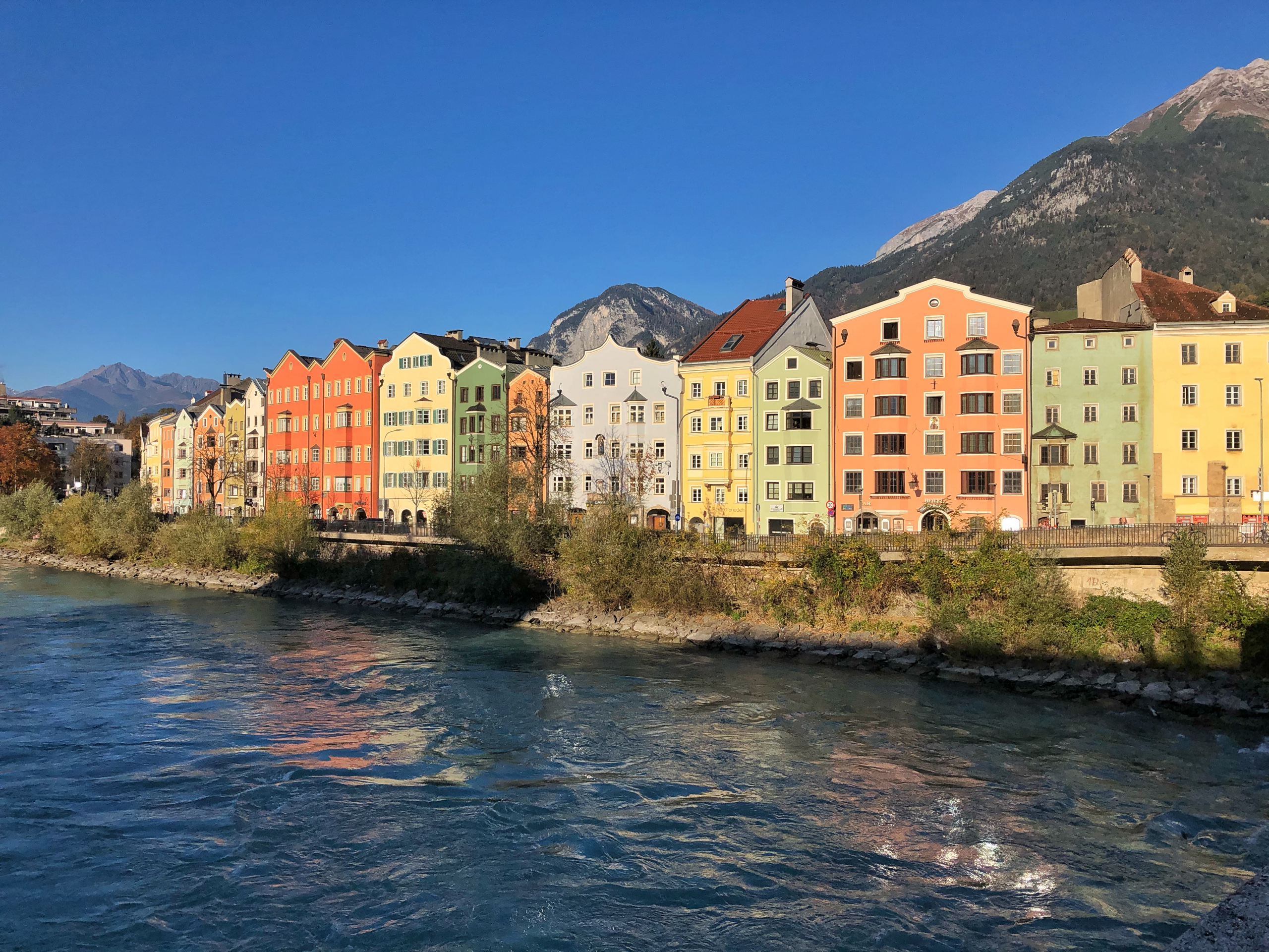
When it’s hot, we’re drawn to the water. When we go on a city trip, we want…
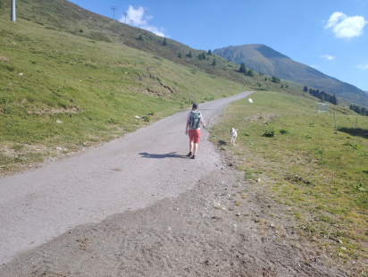
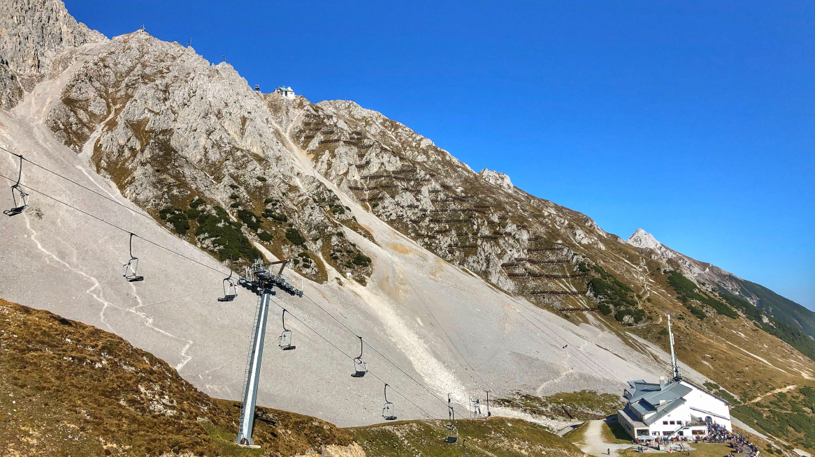
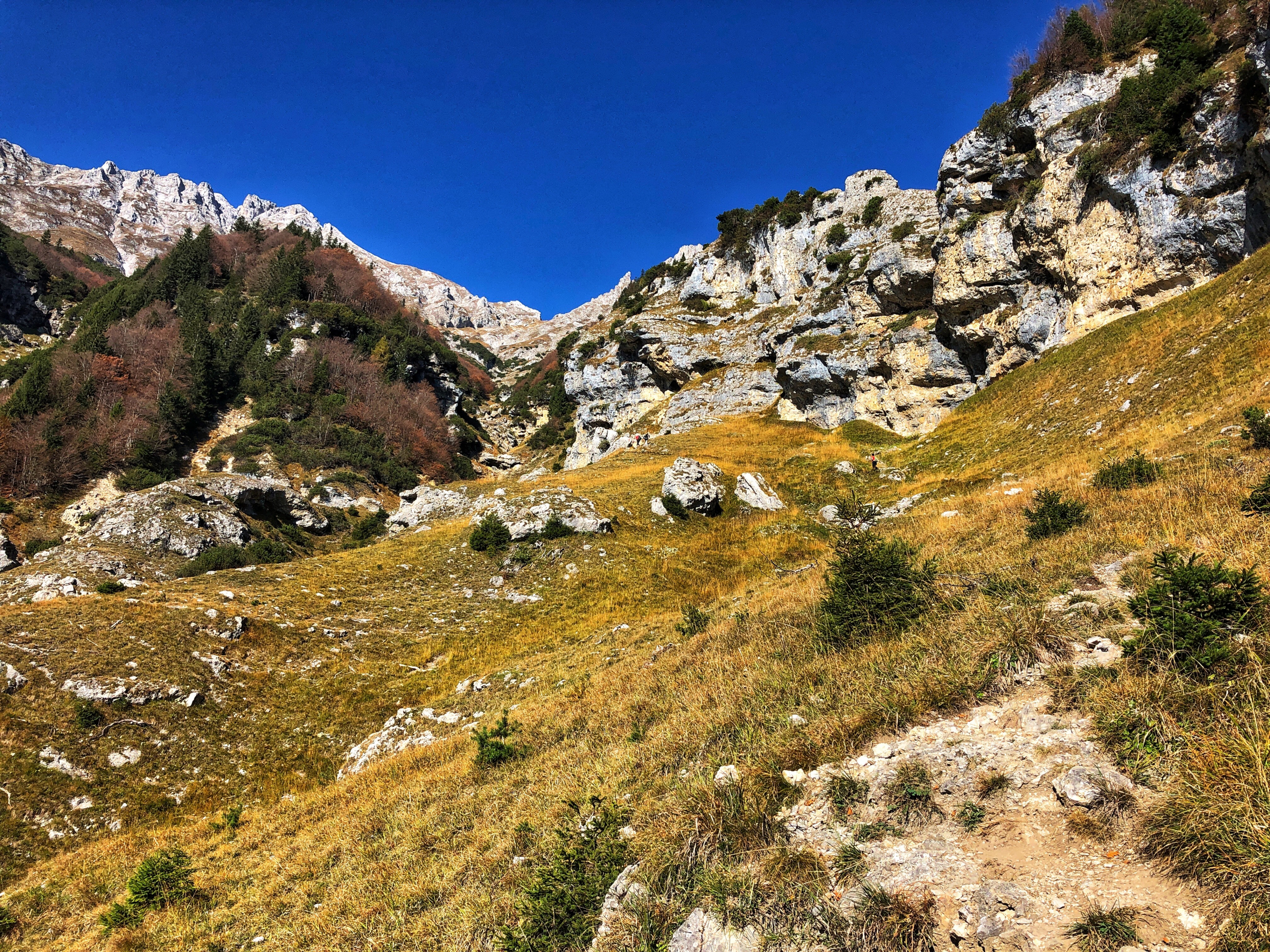
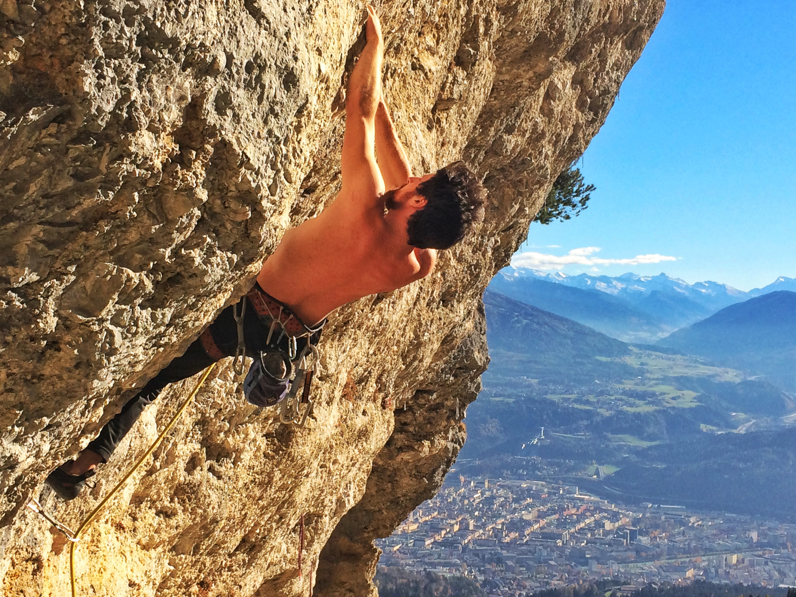
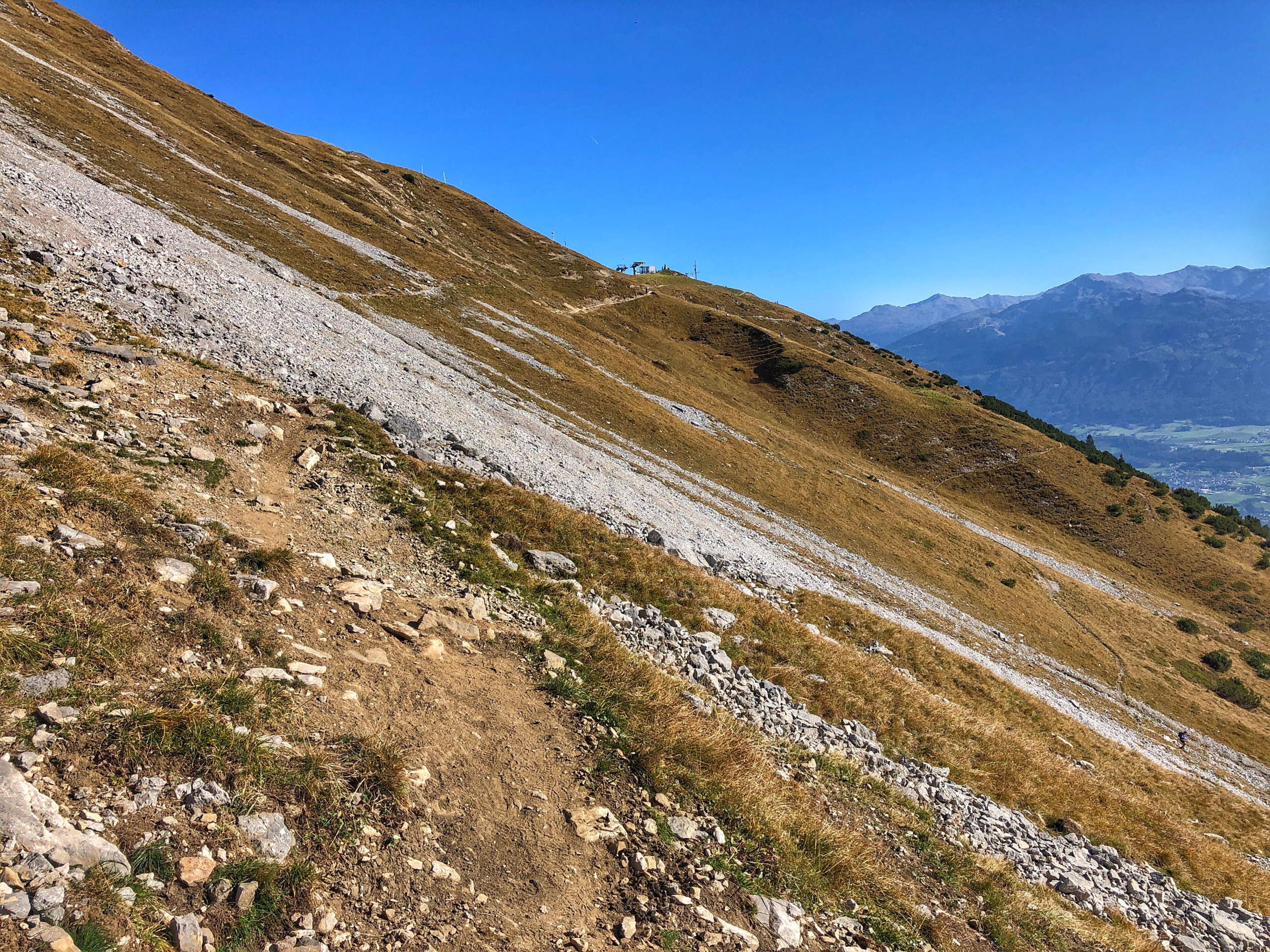
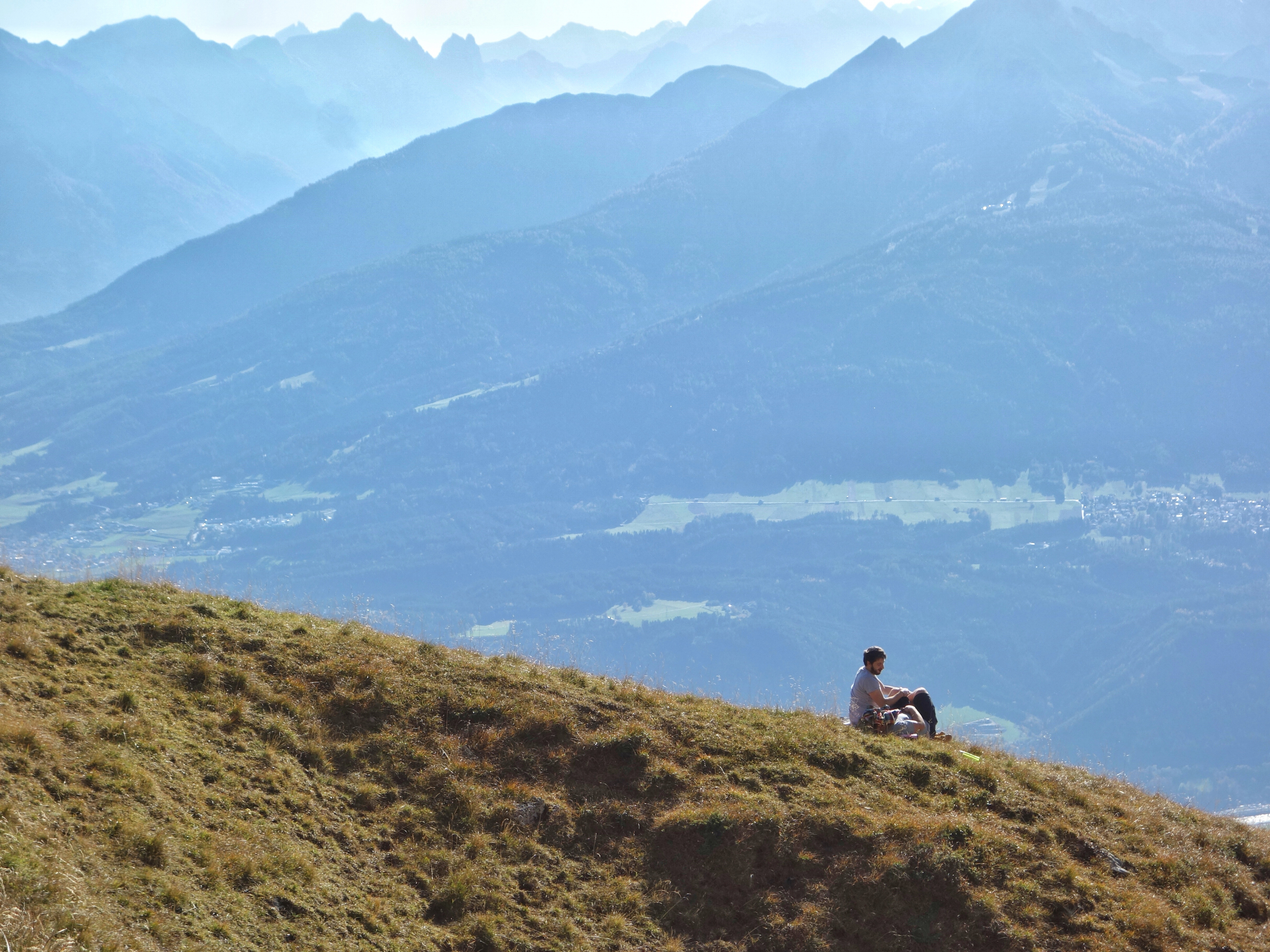
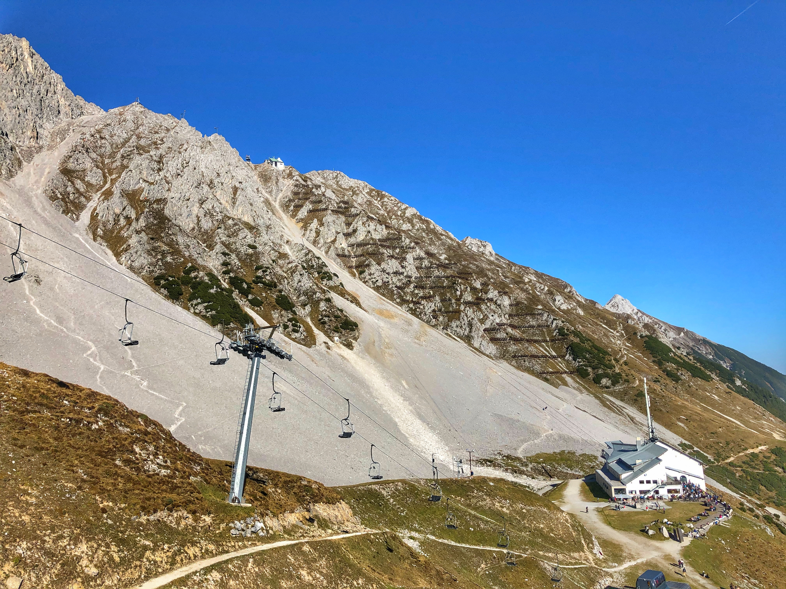
For me, there’s hardly anything better than heading out into the mountains—when time allows. The first rays…