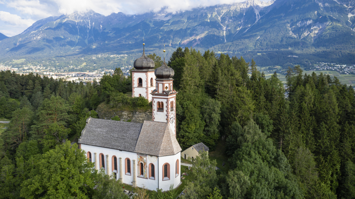
Ampass, © Innsbruck Tourismus : Tom Bause
09 February 2024
Post originally written in: Deutsch Information An automatic machine translation. Super fast and almost perfect.

Pfaffensteig. What a street name! In the course of my research into Bruegel's masterpiece 'Hunters in the Snow', I came across this path, whose name really caught my eye as a pilgrim. The path is located in the south of the city, virtually at the foot of Ambras Castle. From there, I am firmly convinced, Master Pieter Bruegel the Elder once made sketches and developed the design. Made sketches and developed the design ideas for his iconic winter painting. I have written about my research in this blog.

But what interested me now was: Did priests really once walk on this path, who used to be called 'priests' in a rather derogatory way? Where, why and where did they 'ascend' from? Was this perhaps even the old route of the Roman road? Questions upon questions that require on-site exploration. So I set off on my way. And as I like to combine the useful with the beautiful on such occasions, I planned to add a pleasure hike to my historical explorations on site. While I was in Ampass, I wanted to visit the little-known Herzsee lake. You can find my hiking tips at the end of this blog post.

Before I start my historical research, I usually do some research in Innsbruck's libraries first. In this case, historians are more or less in agreement: a Roman road must have led from Wilten via Amras and Egerdach to today's Ampass. The connection from Ampass to Aldrans, which is now incorrectly referred to as the 'Roman road', is more recent and was the 'salt road' on which the precious commodity was once transported from Hall towards Brenner. In Roman times, it was - if at all - only a footpath. (I wrote this blog about the salt road)

So I wanted to find possible routes to the mountain crossing called 'Hals' in old descriptions of the route. It is located in the municipality of Ampass, to the east of Innsbruck, and was certainly the historical crossing from Innsbruck to the Tyrolean lowlands south of the Inn. And indeed, a 'Halsweg' branches off to the right in the hamlet of Egerdach very close to the Hermann Gmeiner Academy and leads to Ampass. This must be the old ascent. And the Pfaffensteig? It also ends at the Ampass 'Hals', but starts just after Luegenstraße. It was practically a shortcut to the Ampasser parish church, where the monks of Wilten Abbey used to say mass. What is hardly imaginable today: Ampass was the parish to which Wilten once belonged. However, the location of the Pfaffensteig, which today is largely a forest path, can hardly be the route of an old Roman road. It is not known whether this path was also used by the man who buried a treasure of gold just above the path in the 6th century.

Wilten was virtually the 'prehistoric Innsbruck'

Until Innsbruck was founded in 1180, Wilten was the undisputed spiritual and secular center at the confluence of the Sill and Inn rivers. Today an important part of Innsbruck, Wilten was for thousands of years the last major stop on the way south over the main Alpine ridge. Or the first stop on the way north. As early as the Neolithic period, around 2,500 years ago, there was a settlement on the Bergisel above Wilten, complete with a place for burnt offerings.

After the Romans conquered what is now North Tyrol in 15 AD, they built a fort in 'Veldidena' and gradually expanded the then existing Rhaetian cart route over the Brenner Pass. Here, in today's Wilten, the routes then split: one led westwards via Zirl and Seefeld to the north and subsequently to today's Augsburg. Another crossed the Sill directly at Mount Isel and passed today's Ampass with the distant destination of Regensburg. Both towns were crucial garrisons on the Limes, which the Romans are known to have built to hold back the Germanic tribes.

At that time, the Inn still formed huge meanders and flowed here and there. Traffic routes therefore had to run along the slope, for better or worse, in order to be safe from Inn flooding. And one of these paths leads from Wilten via today's Egerdach to the 'Hals', the pass-like mountain incision in Ampass, which is bordered by the so-called 'Burgstall', which has all the characteristics of a cult hill. The parish church of St. Johann in Ampass with its separate bell tower is a living sign of this.

The fact that a church was founded on this hill as early as the 5th century AD is further evidence of the existence of a nearby Roman road connection. Incidentally, this is similar to the Laurentius Church in Imst, which was also built near a Roman road, the Via Claudia Augusta. The reason for this assumption: the Christian faith spread rapidly along the main Roman roads after Emperor Constatine declared Christianity the state religion in 313. This also spurred church building in what was then Tyrol.

The construction of the first church is certainly closely linked to the first wave of Christianization in the 5th century. There is a good reason why it was built here of all places: there was a stone circle on the plateau of the hill for a long time, which confirms the cultic significance of this hill, which was sometimes also called 'Palm Hill'. In the map by Carl Urban and his colleagues, 'Inntal von Zirl bis Hall um 1840', the stones are even still marked. What's more, archaeological finds from a burial ground at the foot of the Palm Hill underline the assumption that this must have been an important sanctuary of pre-Christian beliefs.

It is also no wonder that a bell tower was built on the same plateau in 1743, as a new bell would probably have been too heavy for the church tower of the parish church. After all, it weighs 2,408 kilograms. An ancient ritual tradition was simply prolonged.

Ampass also has another interesting church. It is located slightly below the parish church on the historic salt road. This led from the Hall bridge to Ampass, where a steep step had to be overcome in order to reach the road to Aldrans. The church dedicated to St. Veith is of Gothic origin and probably served as a resting and sacrificial place for carters.

Through the Herzbach valley to the Herzsee lake

The rest of the hike to the Herzsee begins at the Widum (as parsonages are called in Tyrol), which is located opposite the parish church of St. Johann. The building is a pearl of Baroque architecture and is situated on a small plateau with an incredibly beautiful view of the Bettelwurf massif.

The subsequent leisurely ascent to the Herzsee leads through a small valley and is one of the breezy, easy walks with magnificent views that are a matter of course in the low mountain range south of Innsbruck. The Herzsee itself is located slightly above the village center of Aldrans and was already mentioned in the fishing book of Emperor Maximilian I as a 'pond or lake at Laibains'. It remained what it was: a huge, wonderful fishing pond.

Herzsee is also only a few minutes away from the nearest bus stop in the village center, which makes it ideal for excursions.

My hiking tip:

Hiking along historic paths is a mixture of using public transport and 'walking on foot'. I can recommend two routes.

Route 1: The Pfaffensteig

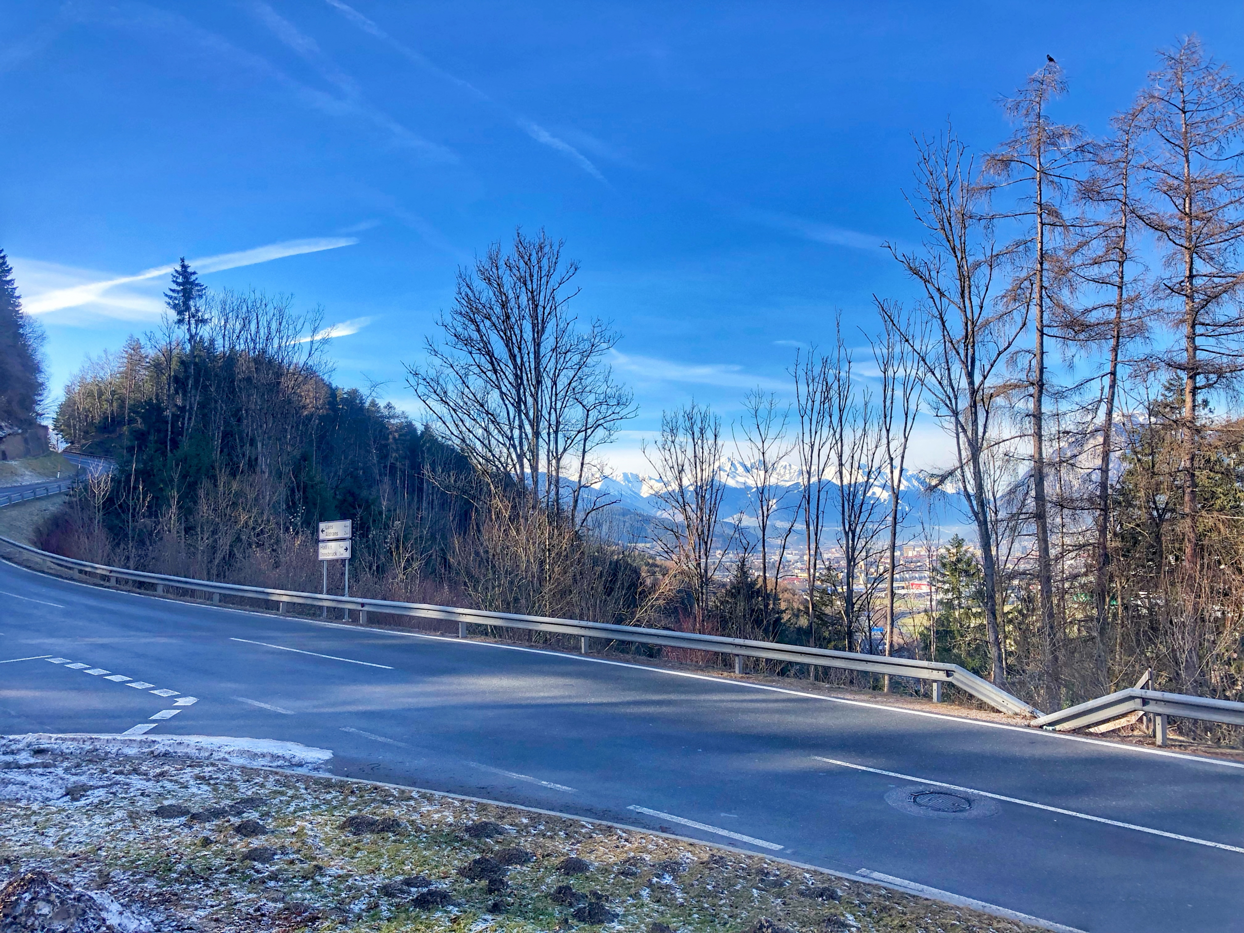
The starting point for the hike on the former 'fast track' of the monks of Wilten Abbey to Ampass is the 'Luigenstraße' station of the Innsbruck public transport company. The line C bus runs directly from Maria-Theresien-Straße to Luigenstraße. From there, continue on foot in the direction of Pfaffensteig, which turns right towards Ampass around 250 meters after the bus stop. The hike follows the forest road until around 200 meters before reaching the 'Passhöhe', which then turns into a real 'Steig', i.e. becomes quasi 'original'. A little caution is required here. Not necessarily recommended in rainy weather. Walking time: between 30 and 45 minutes.

Route 2: The Roman road

The alternative route to the Pfaffenweg is a walk along the former route of the Roman road, i.e. the Halsweg. Bus route 505 (direction Hall in Tirol, Milser Straße) starts at the main railway station and takes walkers to the 'SOS-Kinderdorf' stop in Egerdach. From there, it is around 200 meters to the junction of the Halsweg trail. The hike takes place on a paved road, at the end of which a narrow path leads to the foot of the Palm Hill. Walking time: between 30 and 45 minutes.

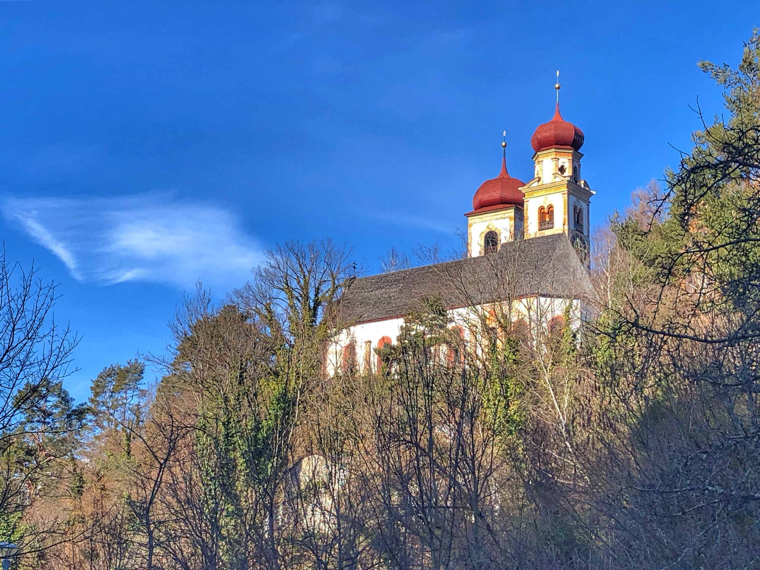
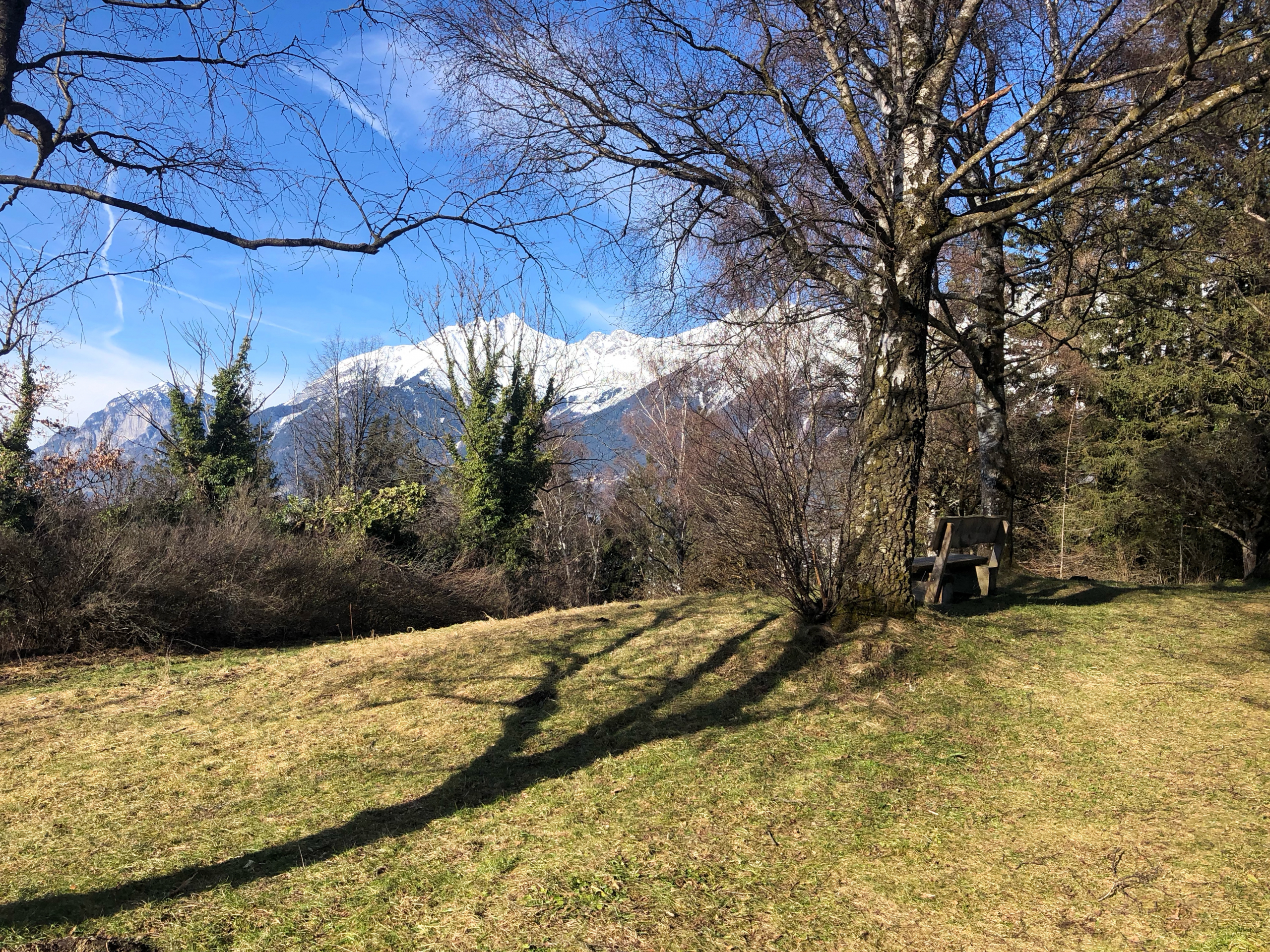
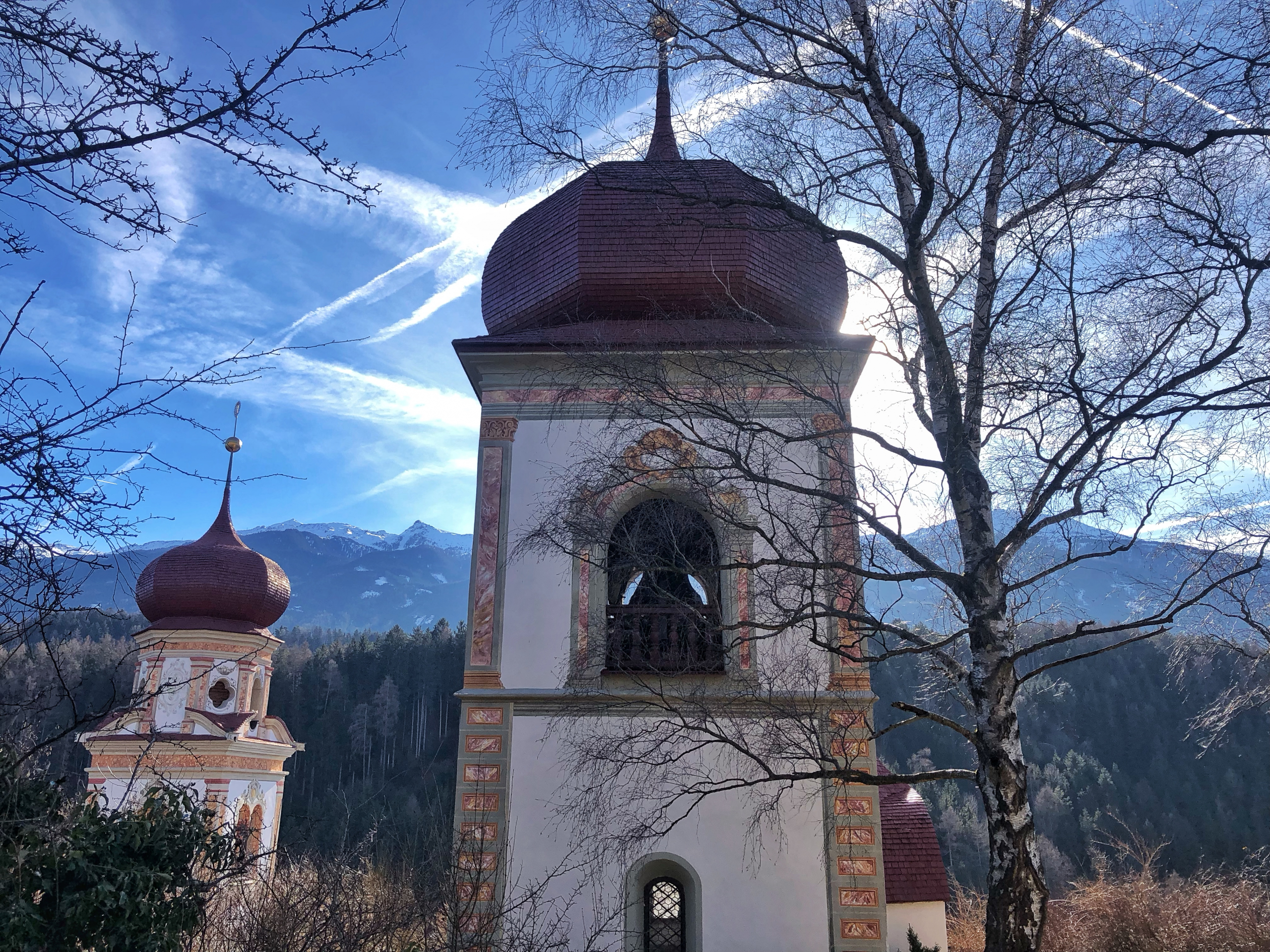
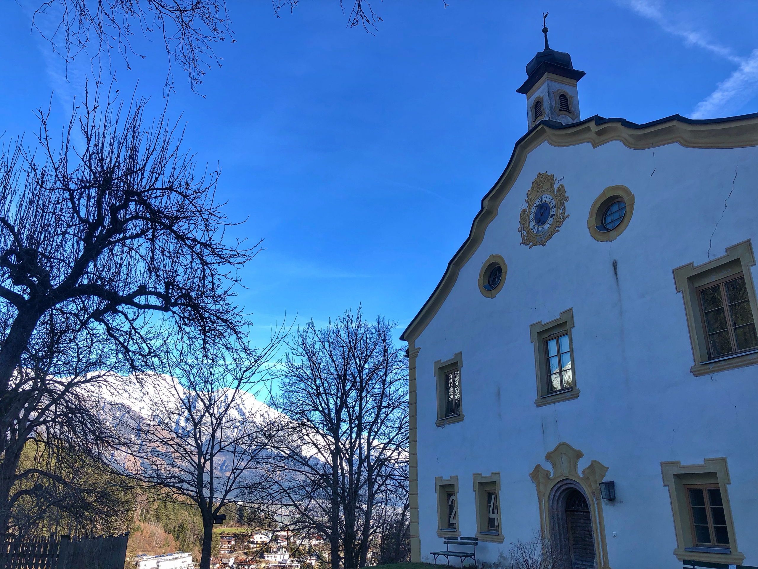
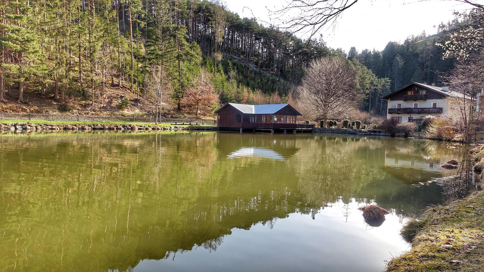
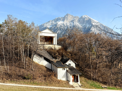
A visit to the parish church of St. Johann and the bell tower is highly recommended before continuing the hike opposite the Widum through the Herztal valley. I recommend taking the paved path, which takes around 1.5 hours to reach the Herzsee lake.

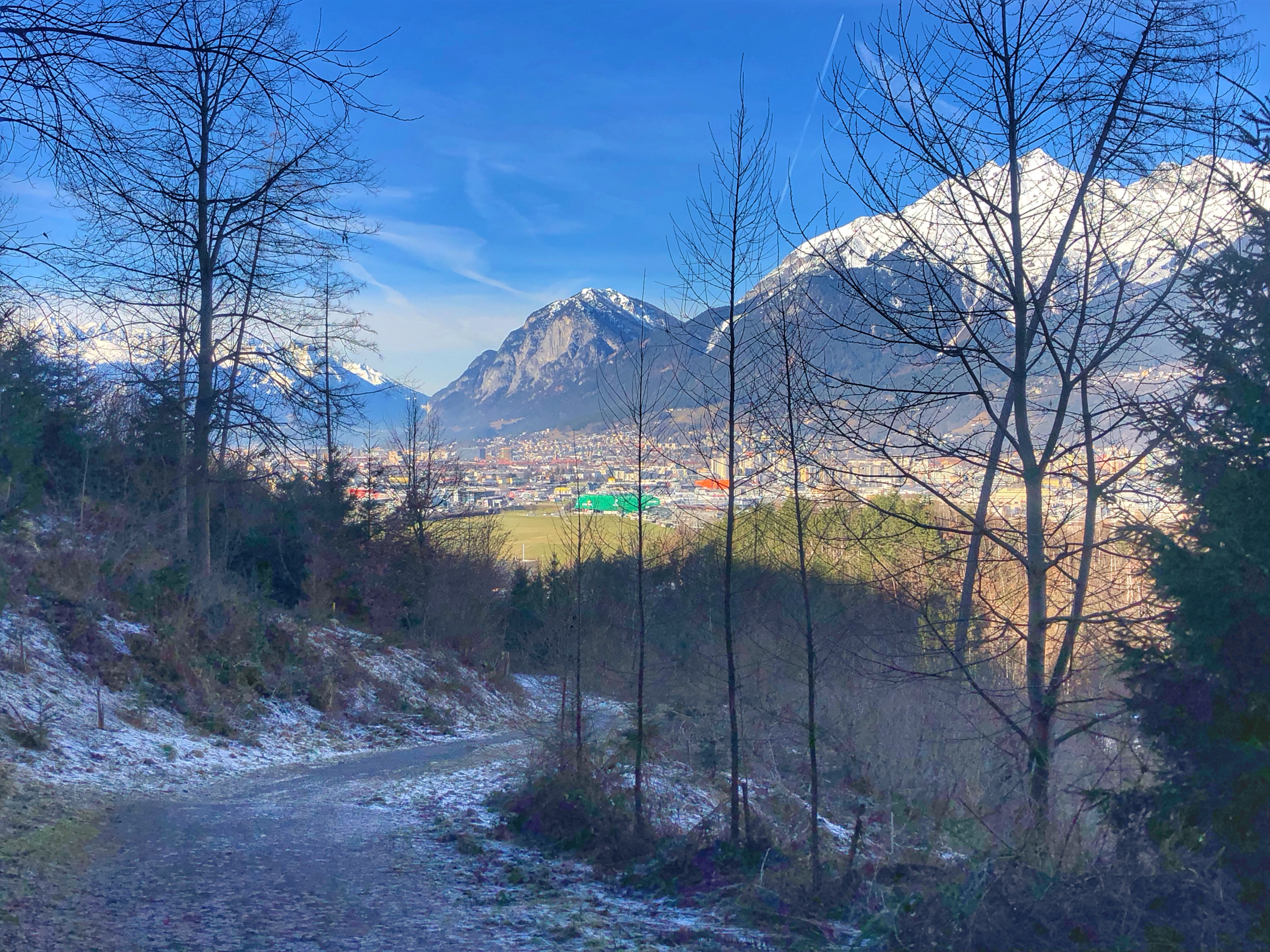
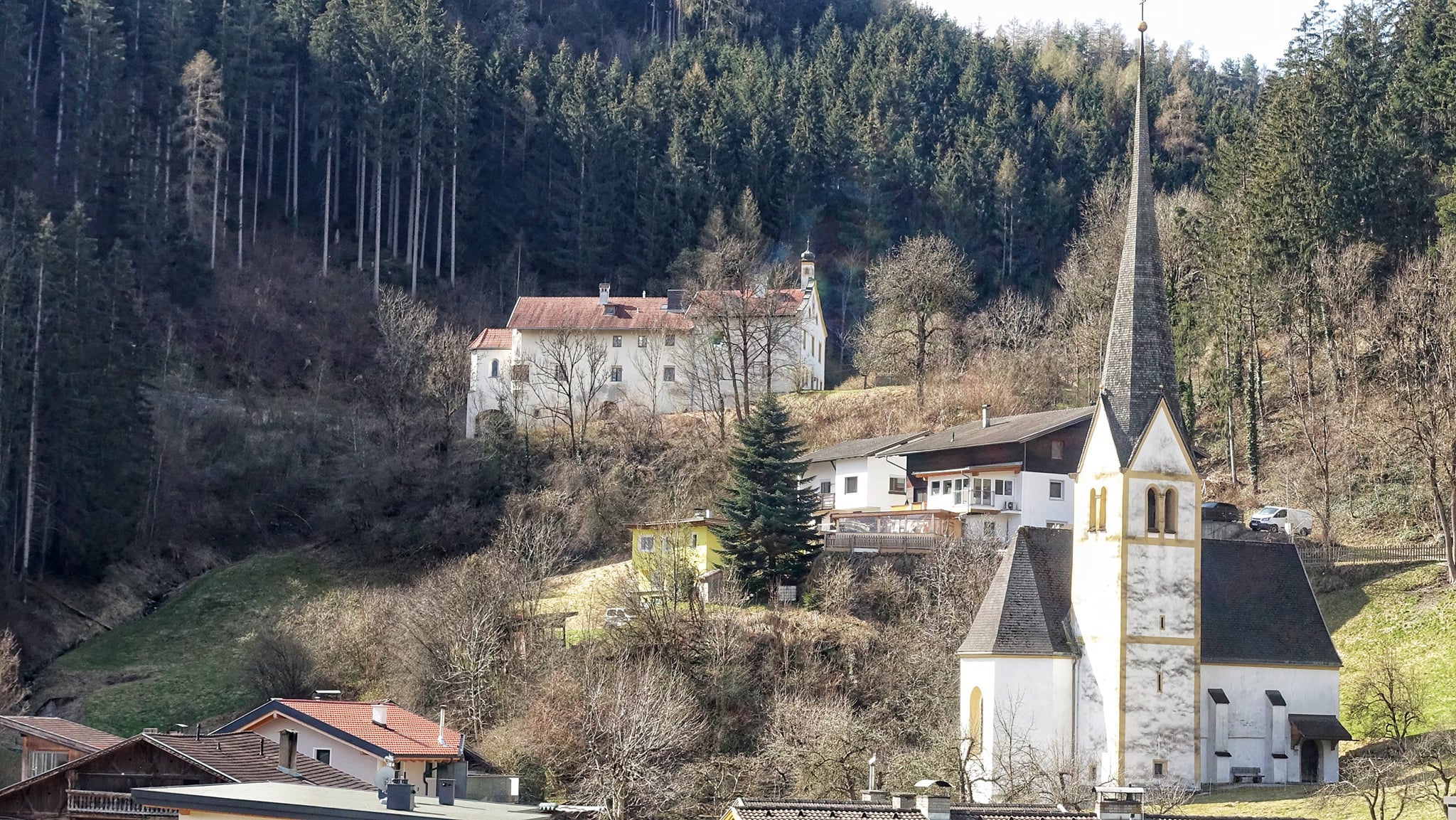
The end of this wonderful hike is a walk to the village center of Aldrans, specifically to the village square. From there, buses take the now culture-loving hikers back to Innsbruck at short intervals.

Similar articles