Rangger Alm - Rosskogelhütte 13
Learn more
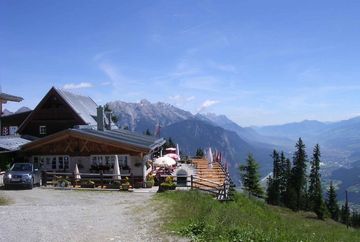
Take the Bergbahnen Oberperfuss gondola up to Stiglreith at 1,363 metres above sea level or drive up to the car park at Stiglreith (fees apply). The hike starts by heading north along the ski slope. There you'll see a path that leads off into the forest. Follow this path to the Rangger Alm mountain hut (not open to the public). From behind the Rangger Alm, follow the forest path that leads steeply uphill in a southerly direction until you come to the edge of the forest and then cross the ski slope to the Rosskogelhütte mountain hut. From there, you can either follow the ski slope, which has amazing views, down to Stiglreith or hike down along the road.
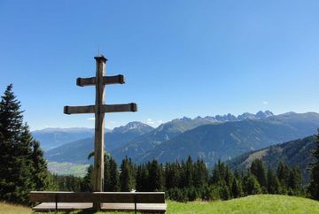
Highlights: An easy but demanding hiking trail, a little out of the way so not too highly frequented, fantastic views of the Inn Valley and the surrounding mountains.
Additional informations
- Postbus line 4165 Oberperfuss


