Telfs von Pfaffenhofen aus gesehen
06 November 2023
Post originally written in: Deutsch Information An automatic machine translation. Super fast and almost perfect.

The Telfs-Pfaffenhofen railroad station is not called two places at the same time for no reason. Both have been connected like twins for thousands of years. At the latest after the Roman conquest in 16 and 15 BC, they were permanently connected by a ferry across the Inn. While there was probably a Roman rest stop in Pfaffenhofen, Telfs has functioned as a kind of 'gateway' to the Mieminger Plateau and subsequently to the Fernpass for 2,000 years. This road connection was even appreciated by the salt transporters of the Middle Ages.

However, what is hardly suspected nowadays is that Pfaffenhofen was a kind of 'main town' in the Oberland back then. Even before the Roman conquest, there was a large Iron Age settlement on the slope of today's Hörtenberg castle ruins, and there was a place of worship on the Trappeleacker, which was used by Iron Age people for centuries. And in the High Middle Ages, Pfaffenhofen was even the seat of high-ranking Bavarian nobles.

The churches are historical and mystical places

Today, it is mainly churches that embody the history of these two places. In Telfs, these are St. Veit, St. Georg and St. Moritzen in the far west of the village. South of the Inn, the current parish church of Pfaffenhofen stands on a former Roman building and gives little indication that this place was once of supra-regional importance. It is said that a bishop even resided here after the fall of the Roman Empire.

My suggestion: A walk from St. Veit to St. Moritzen and Pfaffenhofen

I start my 'mystical walk' through this former 'double village' in Telfs at the little church of St. Veit. To get there, use the truly luxurious local public transport of the market town of Telfs (https://www.telfs.at/tarife-fahrplaene.html) to the Sonnensiedlung. From there, it's a pleasant walk along a beautiful forest path to the hamlet of St. Veit with its little Gothic church. It stands on a mystical spot beneath the majestically towering Hohe Munde - a mountain that certainly represented a kind of deity for prehistoric people.

Church, spring and stone circle

Old churches are usually not located in remote areas, sometimes far away from larger settlements. This is the reason why I took a very close look at the surrounding area. And indeed, there is a spring in the immediate vicinity of the church, next to which there was a stone circle. Why do I say that? The place is virtually 'unique' for dowsers and commuters. The location of the St. Vitus Church is no surprise to me, as the church superiors in the Middle Ages tried for centuries to attract the former 'stone circle pilgrims' to their churches. So they built them next to or even above the old sanctuary so that this 'detour' could work.

The interior of St. Vitus Church with its 16th century secco paintings is well worth seeing. Remarkable is a St. Christopher on the west side of the church interior. The painting has an equivalent in an exterior fresco on the Gasthof Stern in Ötz. Apparently the same master was at work there, it is said to have been the painter Alexander Vischer from Imst.

Speaking of stone circles: At the Gasthof Lehenbarely 500 meters from St. Veit, a stone circle has been rebuilt as it could have stood here thousands of years ago. A reference to the mystical past of this landscape? One could certainly assume so.

St. Georgen stands on a Roman foundation

My next destination is another 'mystical corner' in Telfs, namely the St. George's Church. It must be seen in connection with the parish church in Pfaffenhofen. Both churches have been focal points of larger settlements since the arrival of Christianity at the end of the Roman Empire in the 6th century at the latest. Germanic warrior graves have been found at both sites, and both churches have another fact in common: they stand on former Roman buildings.

St. Moritzen and a Rhaetian place of sacrifice

From St. George's Church, I then took the Vinzenz-Gredler road to get to St. Moritzen. For thousands of years, this road was the starting point for the ascent to the Mieminger Plateau and ultimately to the Fernpass. It is still easy to imagine how the carts had to struggle up here. Before reaching the first terrain level, the path branches off to St. Moritzen. A place that once did not have a really good reputation: around 200 plague victims from Telfs were buried here in 1634.

Many people will wonder what 'Moritz' means. Quite simply, the little church is dedicated to St. Moritz, a black African martyr in the service of the Roman Empire. He was and is particularly revered in France as St. Maurice. In this country, he became 'Moritz', which also gave rise to the term 'Moor', which for many years was used to describe people from sub-Saharan Africa.

It is no coincidence that the little church with the old plague cemetery is located on the western outskirts of Telfs. An archaeological excavation has shown that sacrifices have been made in the immediate vicinity for 2,000 years. At the so-called 'Schlossbichl' a Rhaetian sacrificial site was excavated, which probably dates back to the 1st century BC. This again impressively confirms that Christian and pre-Christian places of worship in Tyrol often lie next to each other, and in many cases even on top of each other.

If you make your way from St. Moritzen to Pfaffenhofen, you will also pass the chapel of Our Lady of Moritzen, built in 1650. The statue of the Virgin Mary used to be brought to the Telfer parish church in a solemn procession on the day of 'Mary's name' on September 12th. If you continue up the steps from the chapel, you will reach the crucifixion group, from where you have a beautiful view of the Sellrain mountains.

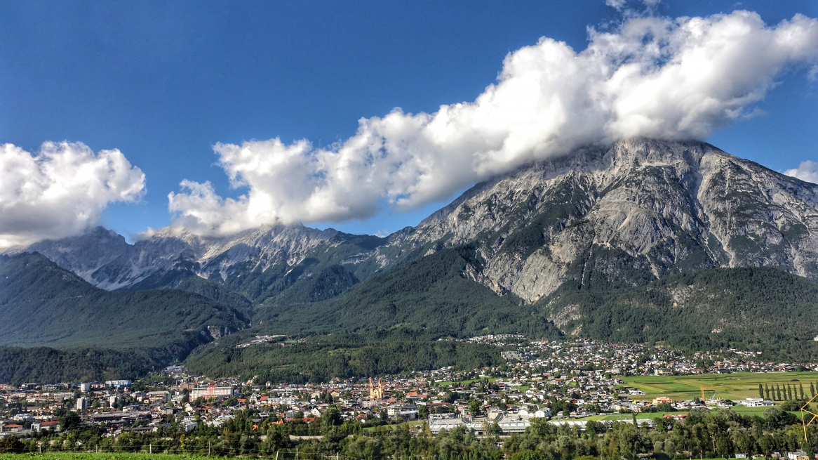
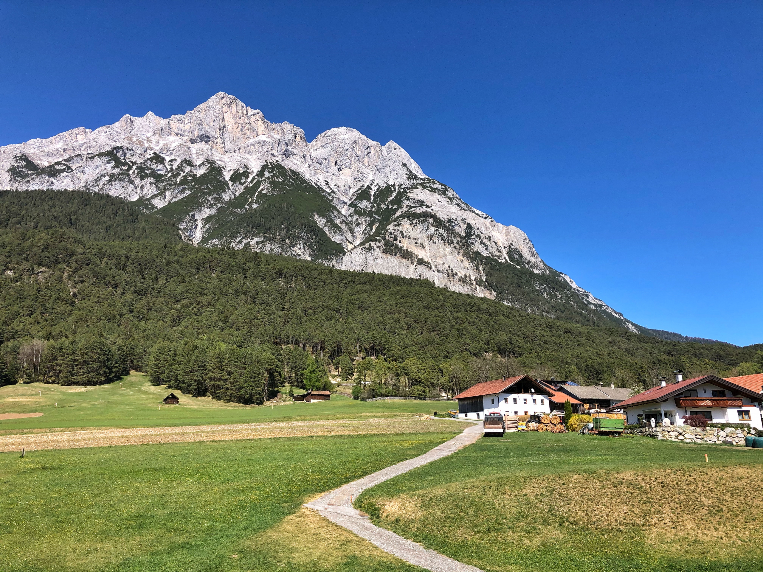
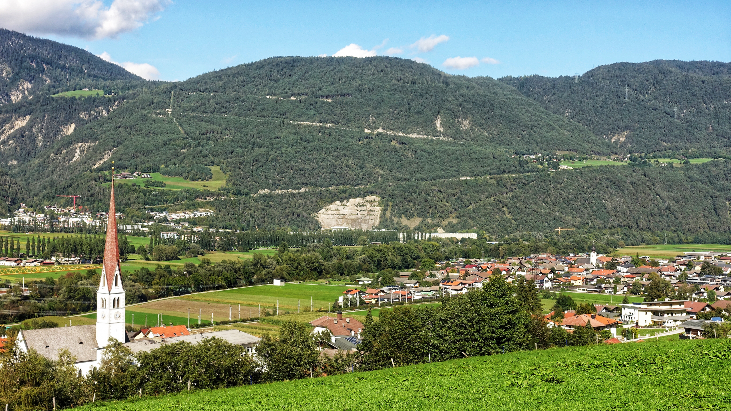
Pfaffenhofen has been a hub since Roman times

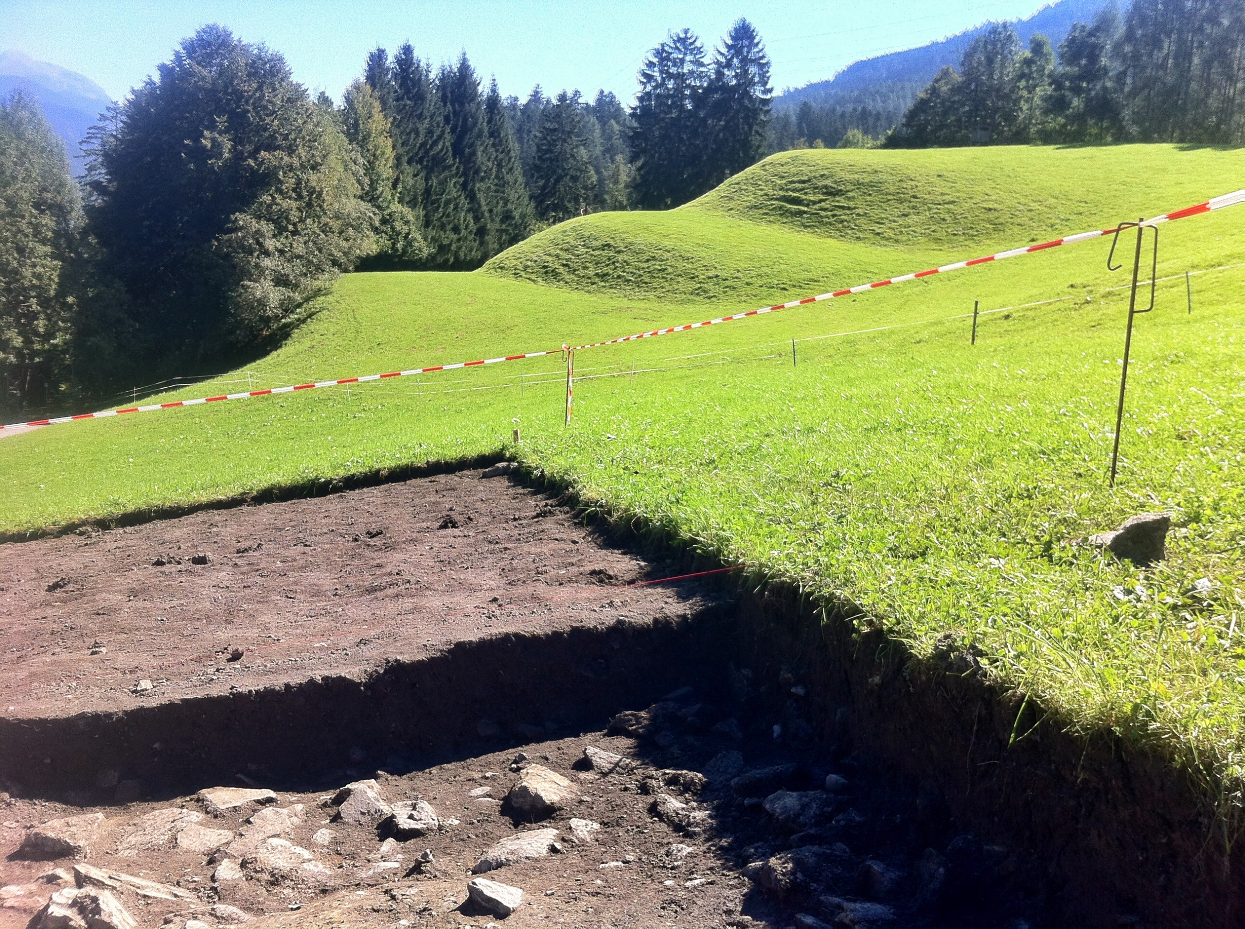
It's hard to believe, but Pfaffenhofen was once the central town in the Oberland. The Rhaetians settled below today's Hörtenberg castle ruins, not far from where there was a Rhaetian burnt offering site at Treppeleacker. It is interesting to note that the Rhaetians apparently abandoned their settlement shortly after the conquest of Tyrol by the Romans.

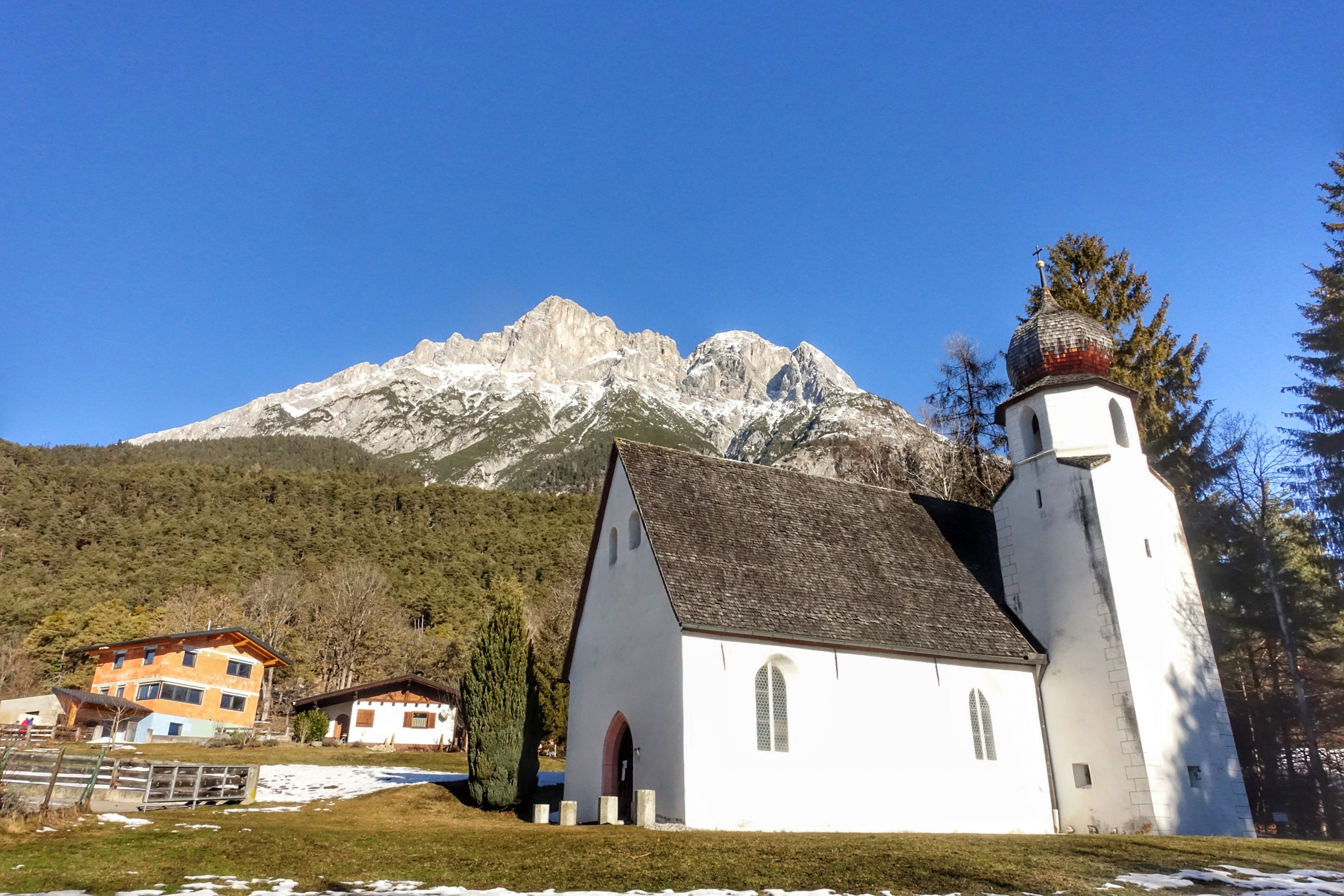
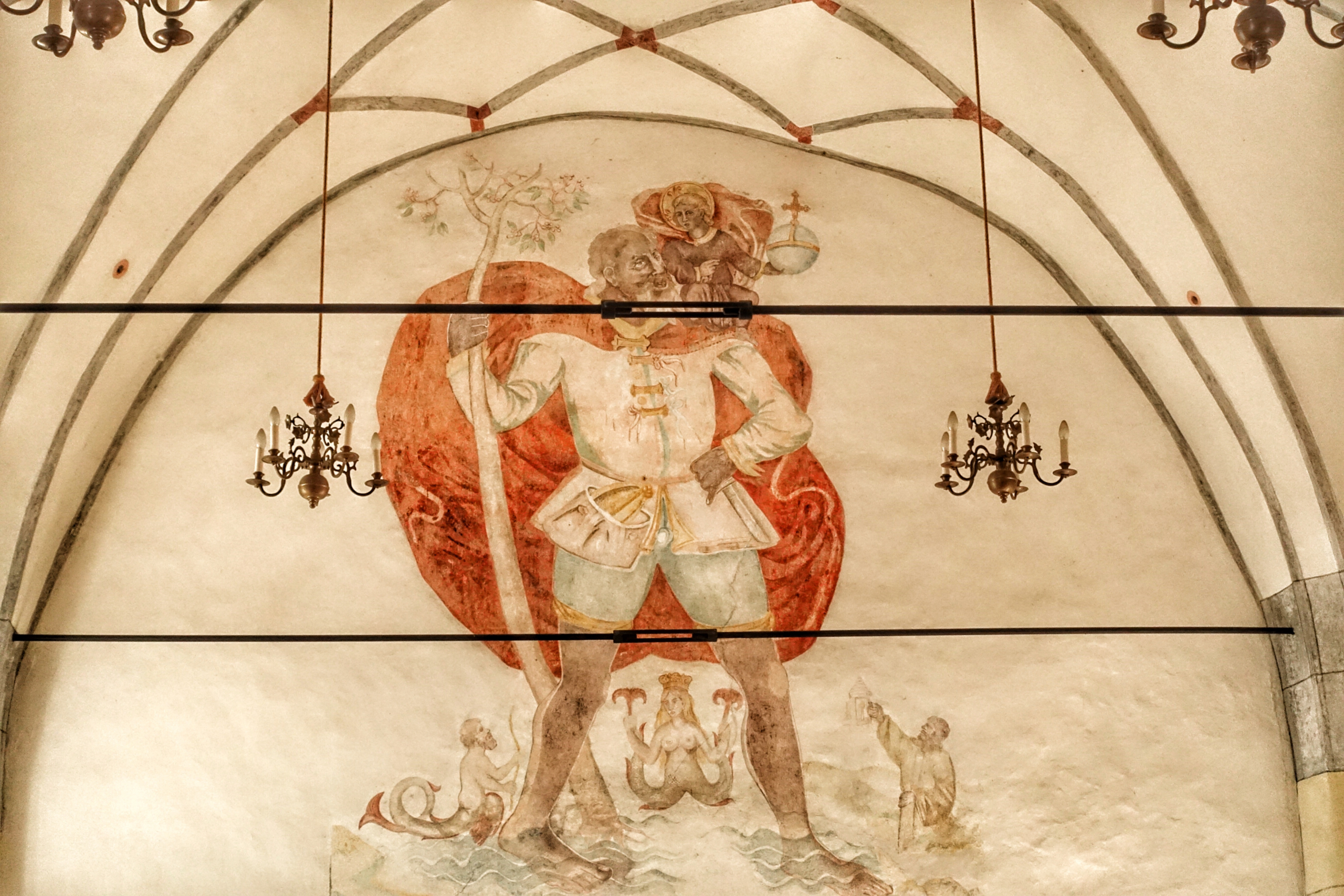
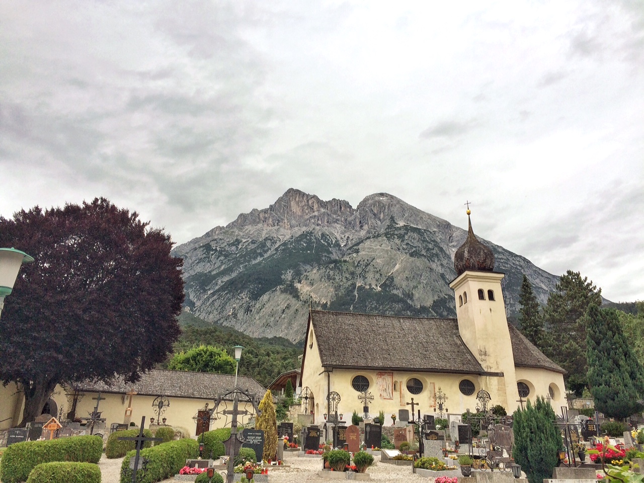
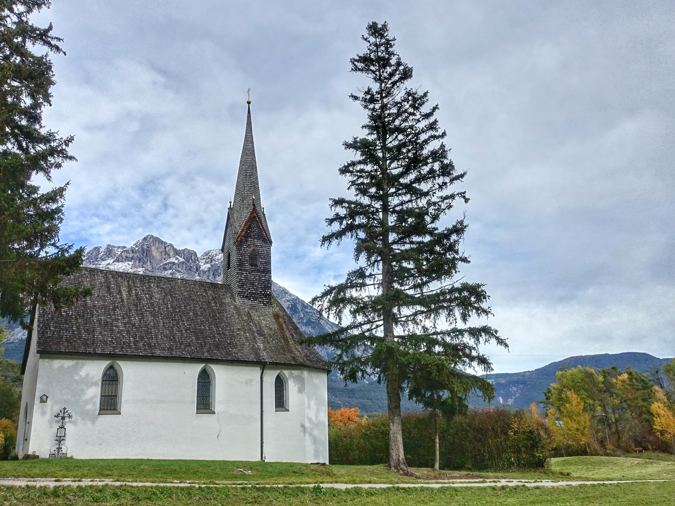
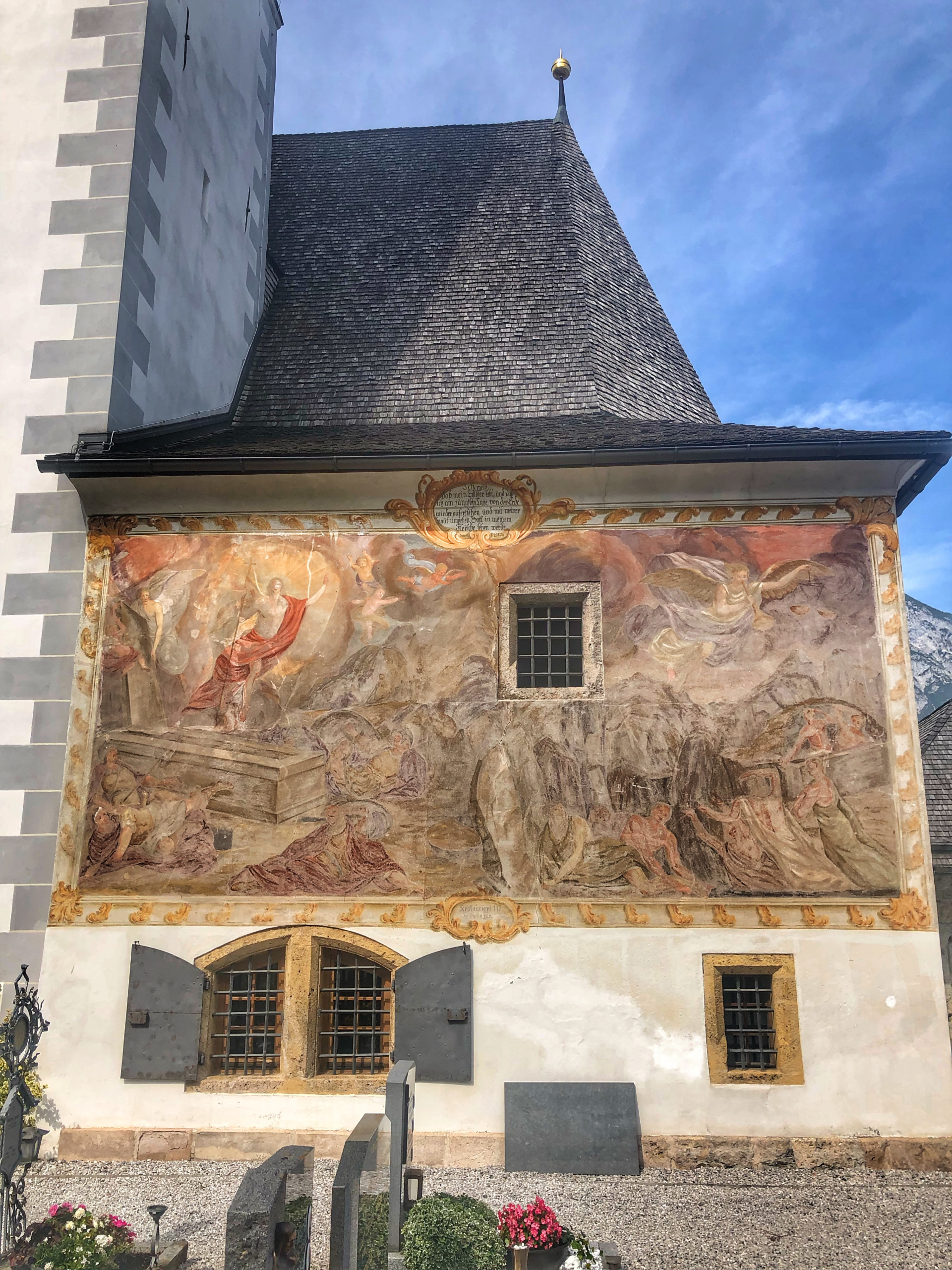
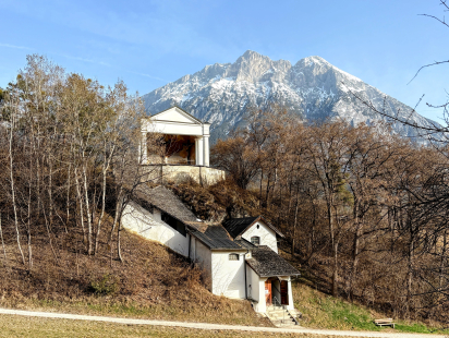
The Romans appreciated the place early on as a rest stop on the way to the Fernpass. In the 3rd century AD, they connected the Brenner route with the Fernpass route in the form of the 'Via Dacia', so Pfaffenhofen played an important role as a rest stop. No wonder the church stands on a Roman building.

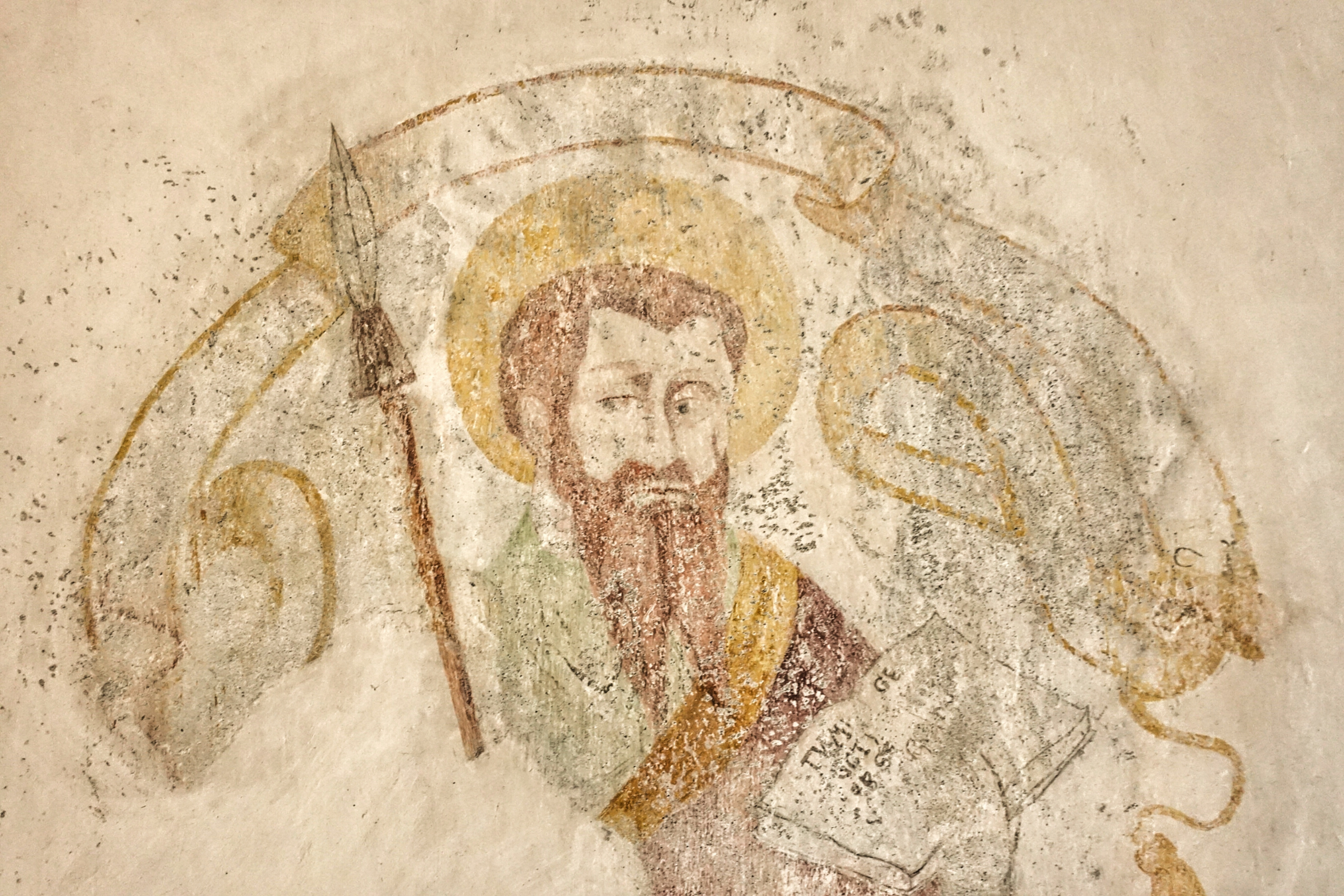
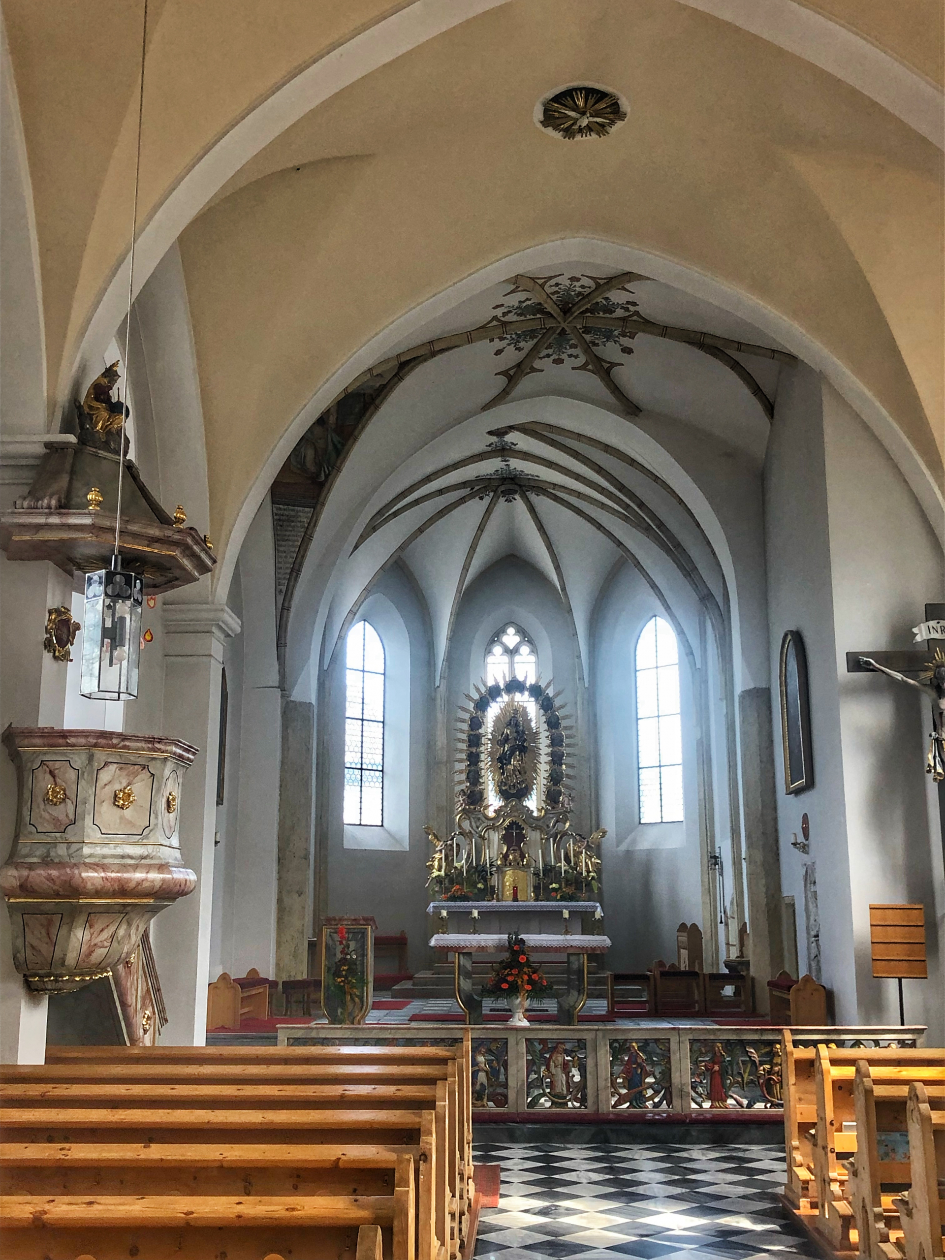
The first church was probably built here as early as the 6th century. This is because Christianity developed primarily along the old Roman roads. One 'remnant' of this period is the story that a bishop resided in Pfaffenhofen. There is no documentary evidence of this. However, it is known that 'Itinerant bishops' were not uncommon at the time.

Pfaffenhofen is a good example of how the 'weal and woe' of a town is linked to traffic flows. With the construction of viable bridges and, above all, the expansion of provincial roads and highways, various towns have virtually 'dried up'. Pfaffenhofen and Telfs, however, have managed to maintain their once important position and, in the case of Telfs, have even managed to expand it.

Links

On the position of Pfaffenhofen and Telfs from the Roman imperial period to the early High Middle Ages: Irmtraut Heitmeier, Das Inntal, Universitätsverlag Wagner Innsbruck, 2005

The excavations of the burnt offering site at Trappeleacker are described HERE.

The excavations at Schlossbichl in Telfs are described in more detail HERE.

More about the frescoes in St. Veit can be found in the diploma thesis by Helga Hofer : Die Wandmalereien der St. Veits-Kirche in Telfs“, Telfs 1992

Who the Legends from Telfs can be found on the website of the market town of Telfs: https://www.telfs.at/telfer-sagen.html

Two of my blogs describe the Salt roads to the Oberland: The Lower Salt Road from Innsbruck to Telfs and the Historic Salt Road between Inzing and Pfaffenhofen

All photos: © Werner Kräutler

Similar articles