DSC00346tvb
11 September 2022
Post originally written in: Deutsch Information An automatic machine translation. Super fast and almost perfect.

The Pfeishütte is a familiar name to most carving enthusiasts. Likewise the Goetheweg, located high above Innsbruck on the Nordkette. It is the usual route if you want to hike the Pfeishütte and the surrounding Karwendel peaks. But did you know that you can also visit the beautifully situated Innsbrucker Hütte by bike?

An alternative to the admittedly gorgeous Goetheweg, but no less exciting. Promise!

Bike & Hike? No Train & Bike!

For the bike tour to the Pfeishütte we have to go to Scharnitz. The small town on the Tyrolean-Bavarian border serves as the starting point for many Karwendel valleys. And it's quite easy and stress-free to get to Scharnitz: by S-Bahn from Innsbruck station.

The S6 line runs from the main station via Seefeld to Scharnitz and there are plenty of parking spaces for your bike. No search for a parking space, no parking fees, no fuel costs, but environmentally friendly and nerve-saving without traffic jams. The panoramic ride of the so-called Karwendelbahn through the imposing Martinswand with its tunnels and galleries and views of the Inn Valley is included.

Several possibilities to get on the train in Innsbruck

You can also board the train in Innsbruck at Westbahnhof, Hötting station, Allerheiligen and Kranebitten. The train usually leaves every hour. The timetable can be found below in the information.

The journey to Scharnitz takes about 45 minutes.

Into the Karwendel Valley

In Scharnitz, simply follow the signs from the train station in the direction of the "Karwendel valleys". A large map at the beginning of the tour helps to get an idea of the route.

You follow the signs in the direction of "Möslalm" and "Pfeishütte" further into the valley. A crystal-clear river shimmering in turquoise and green quickly appears next to us. It is the Isar! This has its source a few kilometers in the valley, you can go there directly by bike, but that is off our route today. A detour, however, is not very time-consuming and would be quite feasible. The Isar then flows on to Munich and finally flows into the Danube.

Gleirschtal and Möslalm

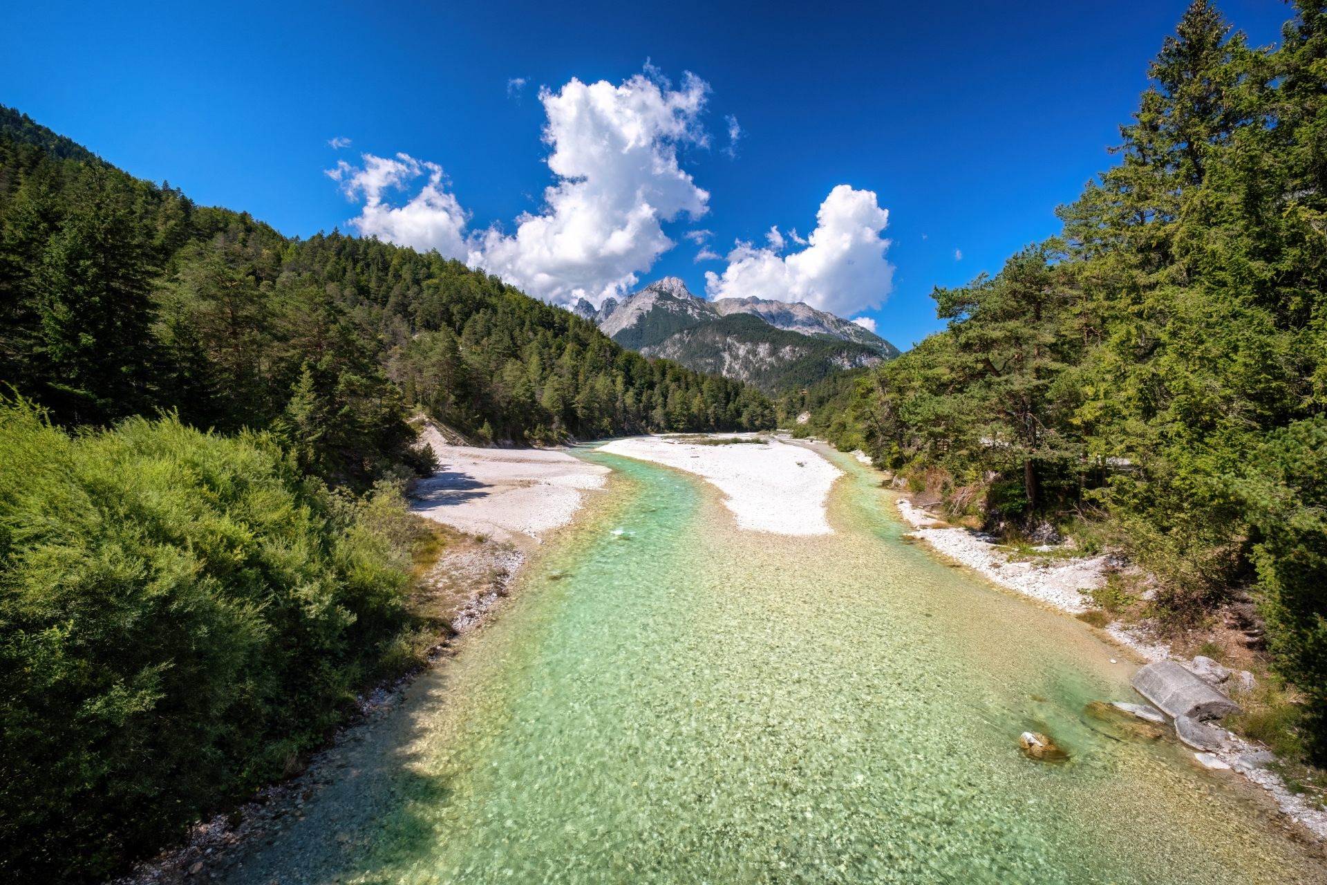
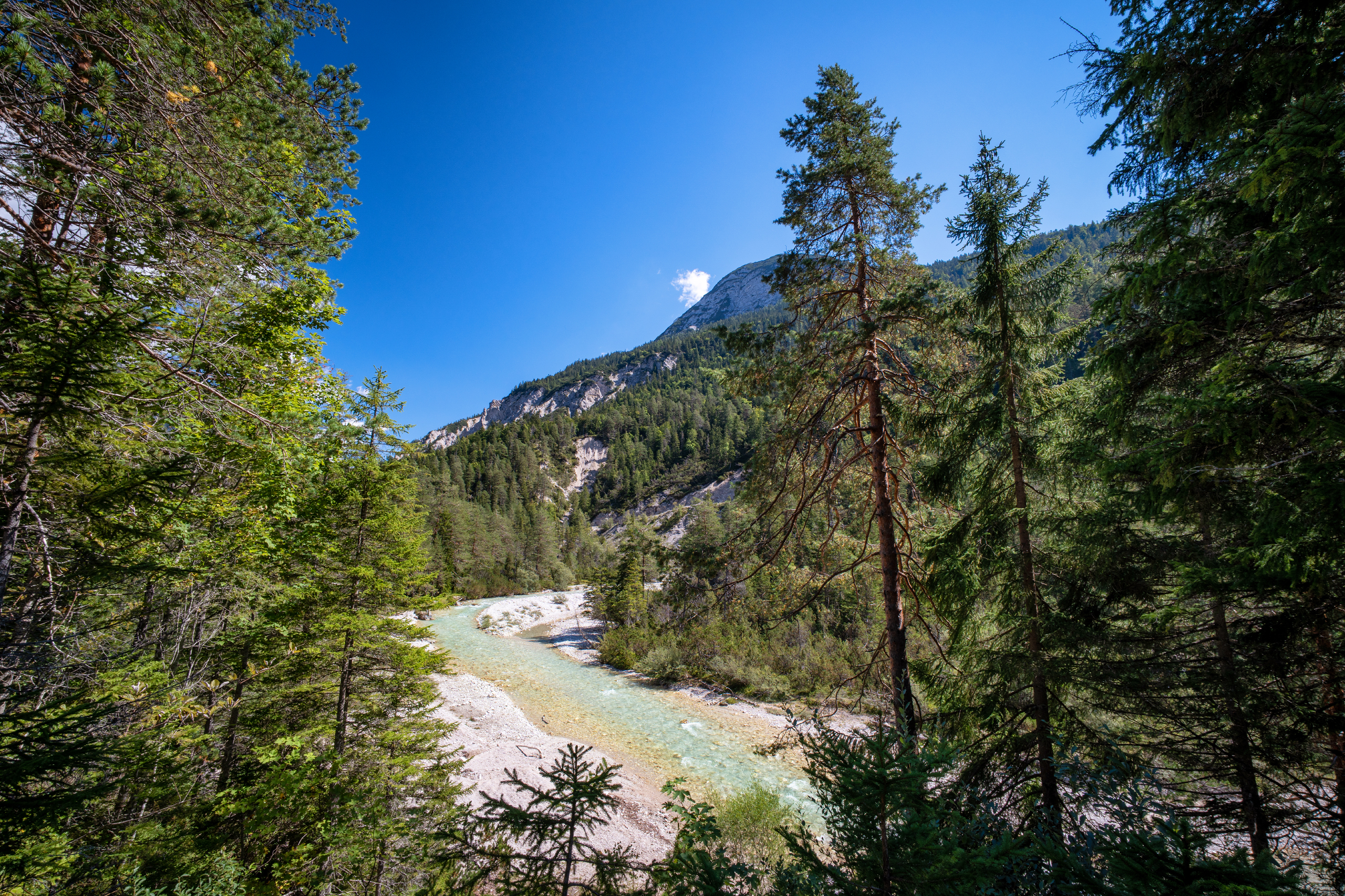
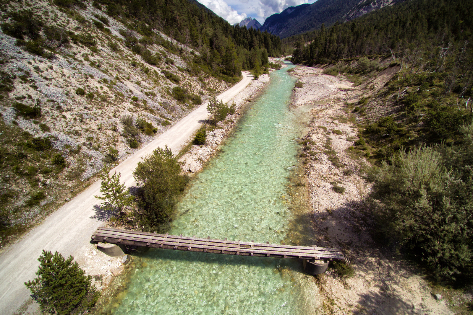
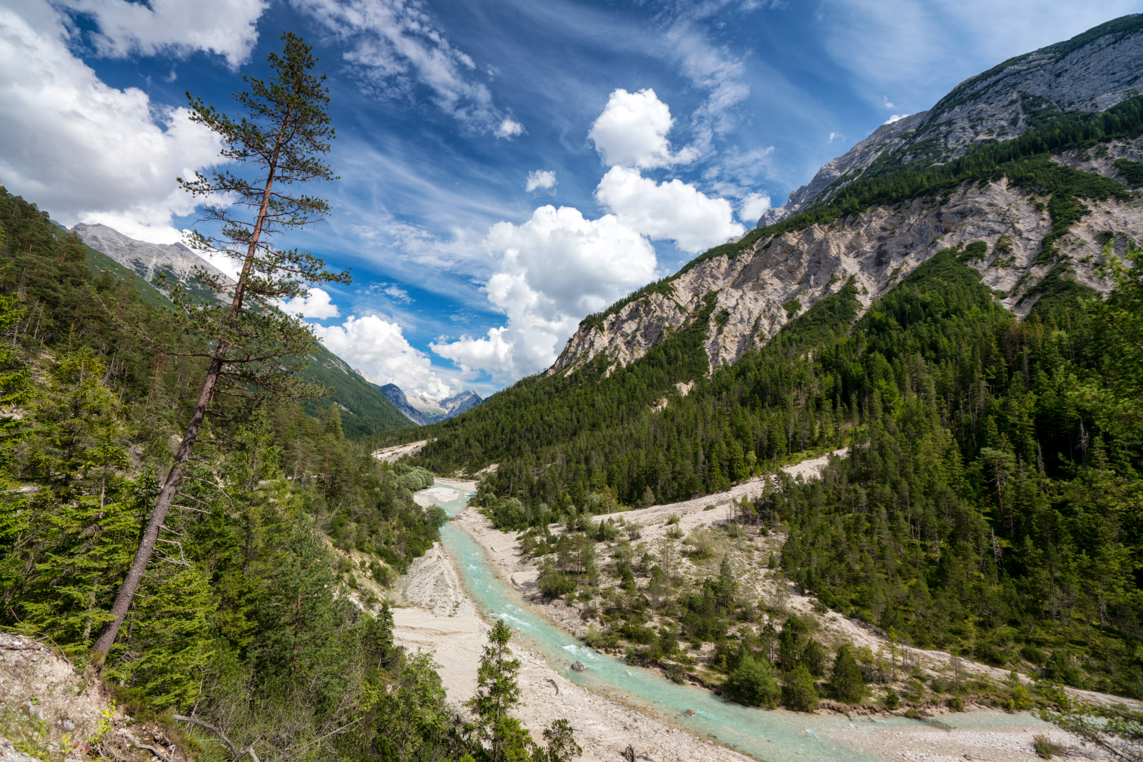
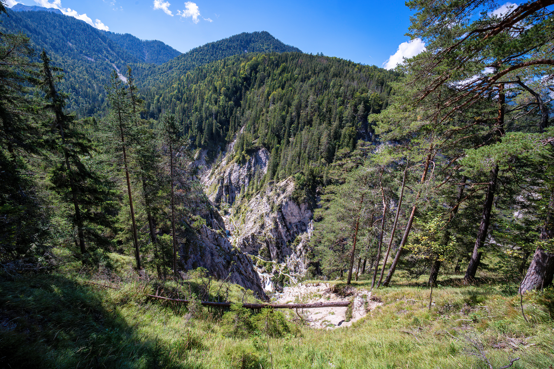
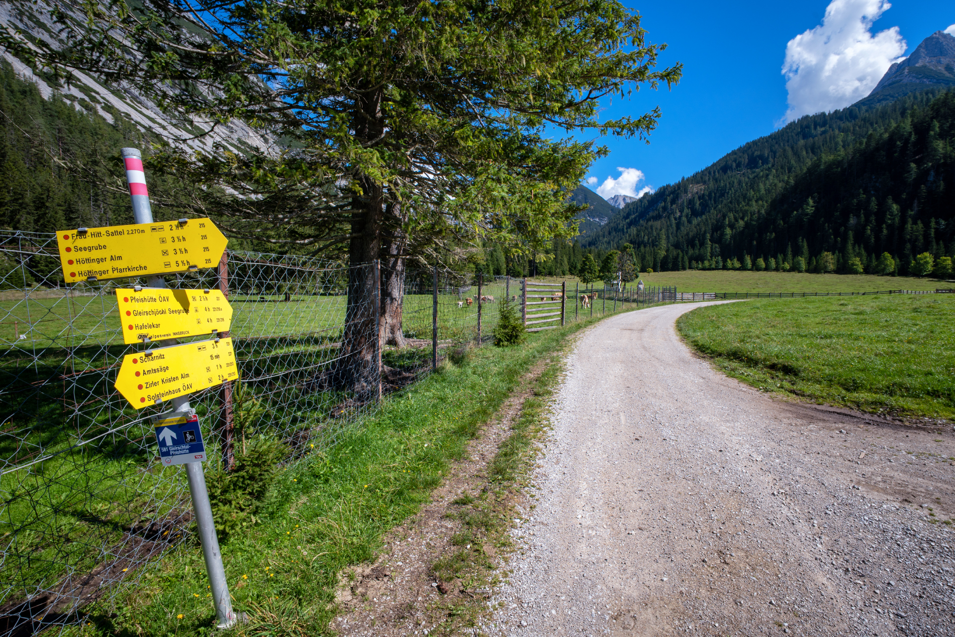
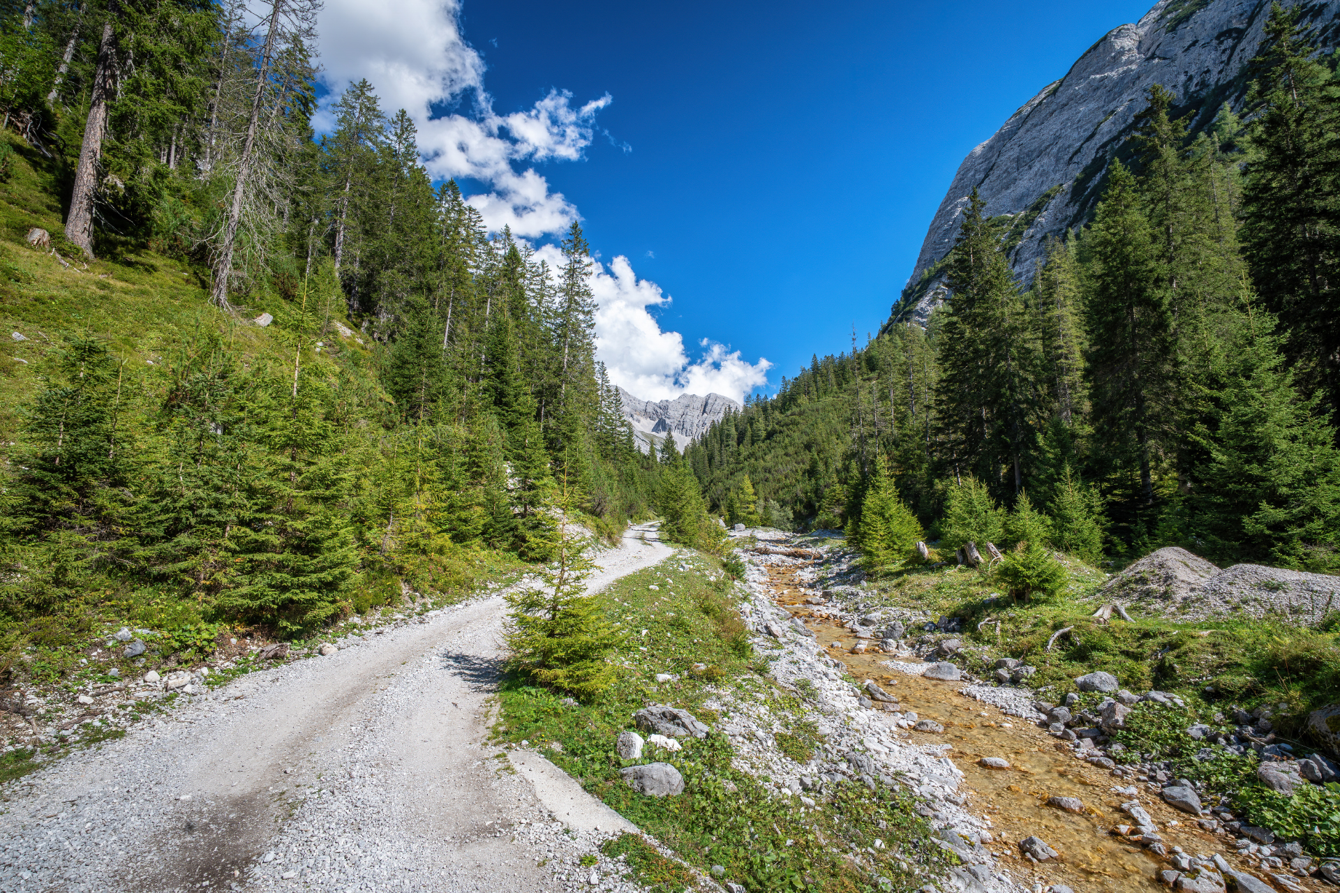
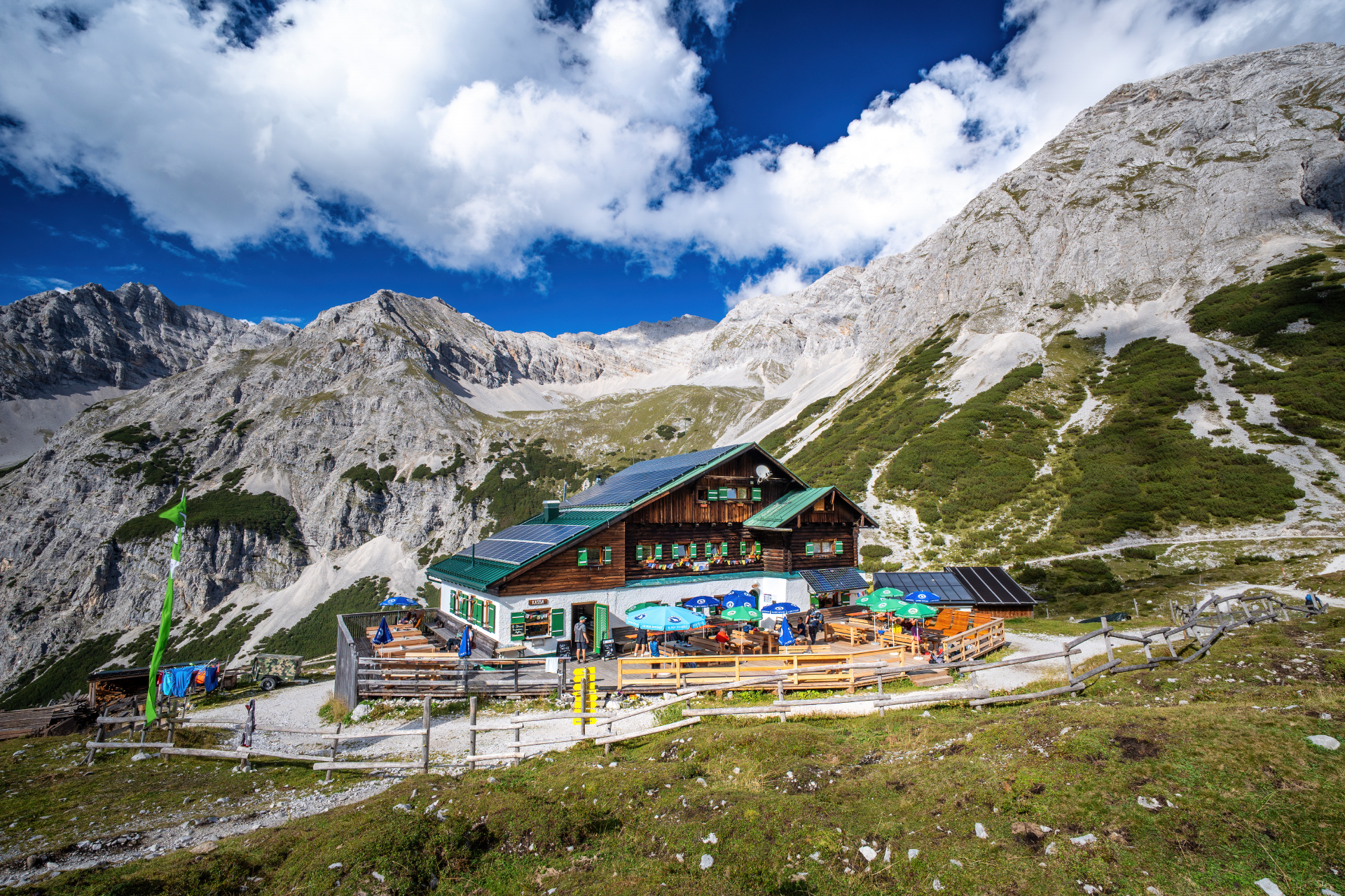
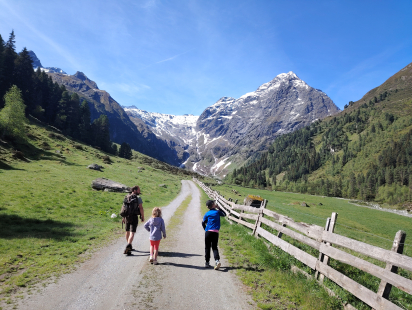
After a hill with a viewpoint and a wooden cross, the trail descends a bit and on the other side of the valley it goes steeply uphill for a short while into the Gleirschtal valley. The Gleirschbach will accompany us until we reach our destination, the Pfeishütte. It rises just above the hut. From here you can also partly see well down into the imposing Gleirschklamm. A stop is worthwhile in any case.

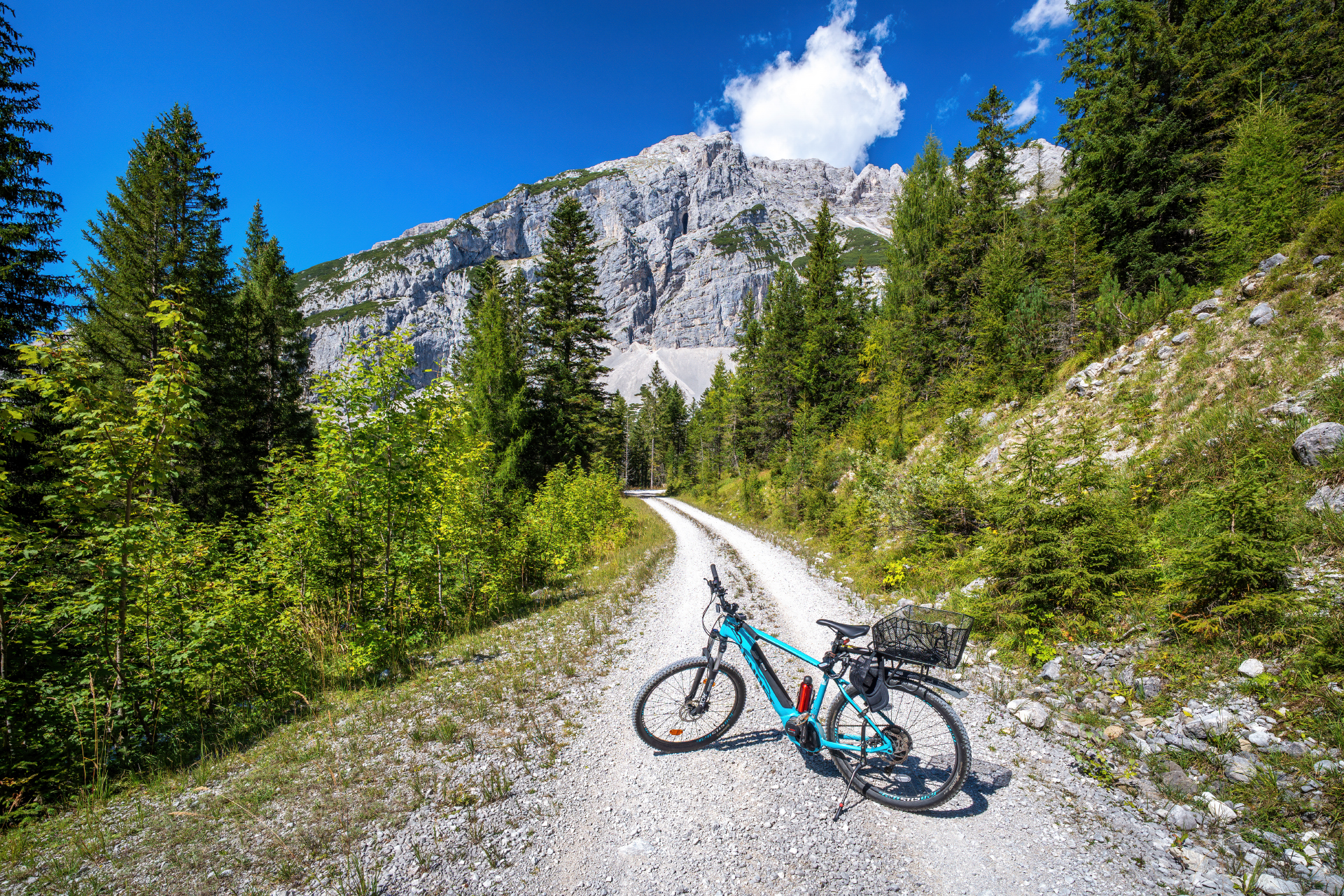
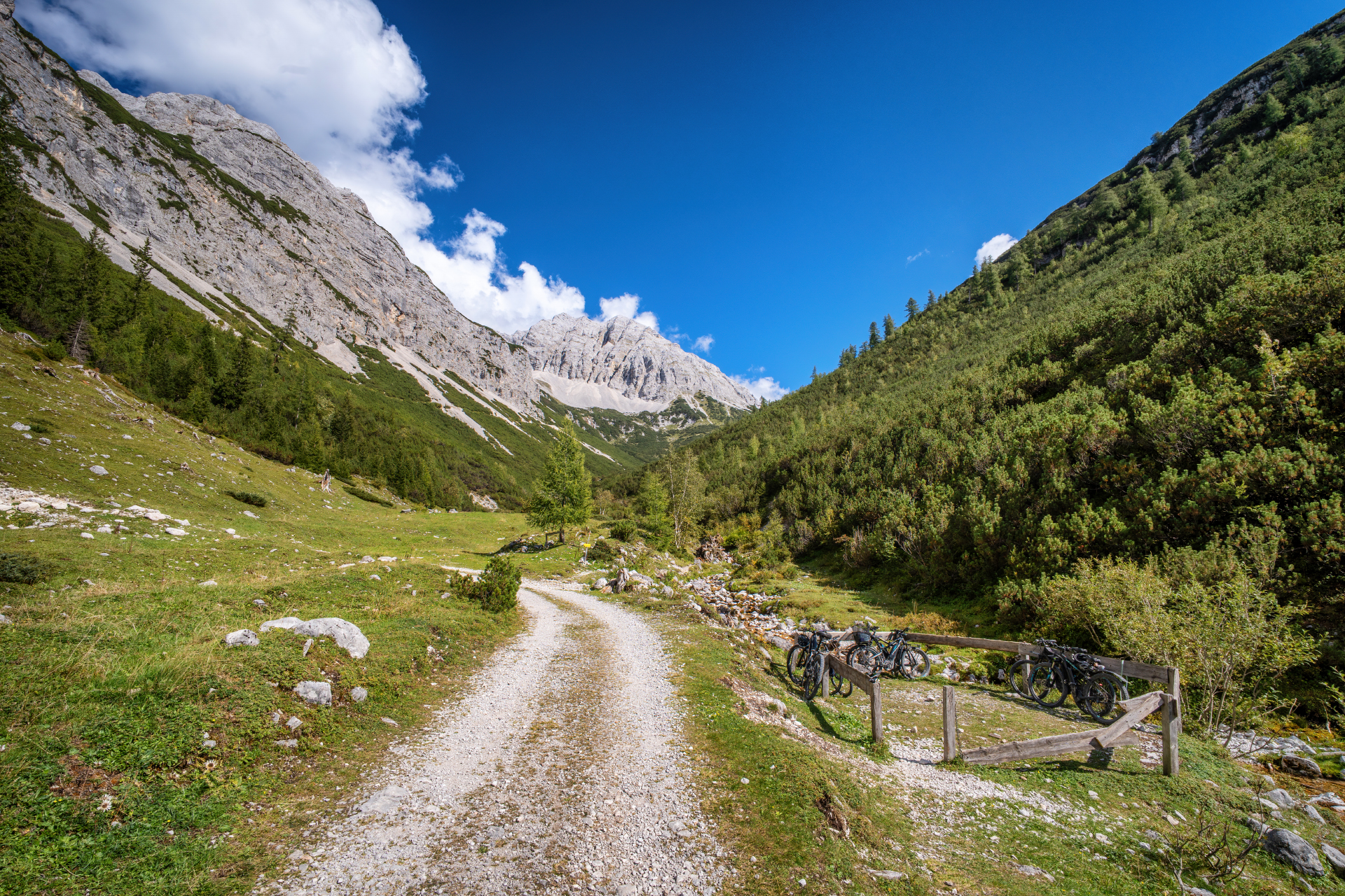
After the steep section, the trail now continues leisurely uphill, mostly even flat on a wide forest road. Here you already enter the municipal area of Innsbruck again.

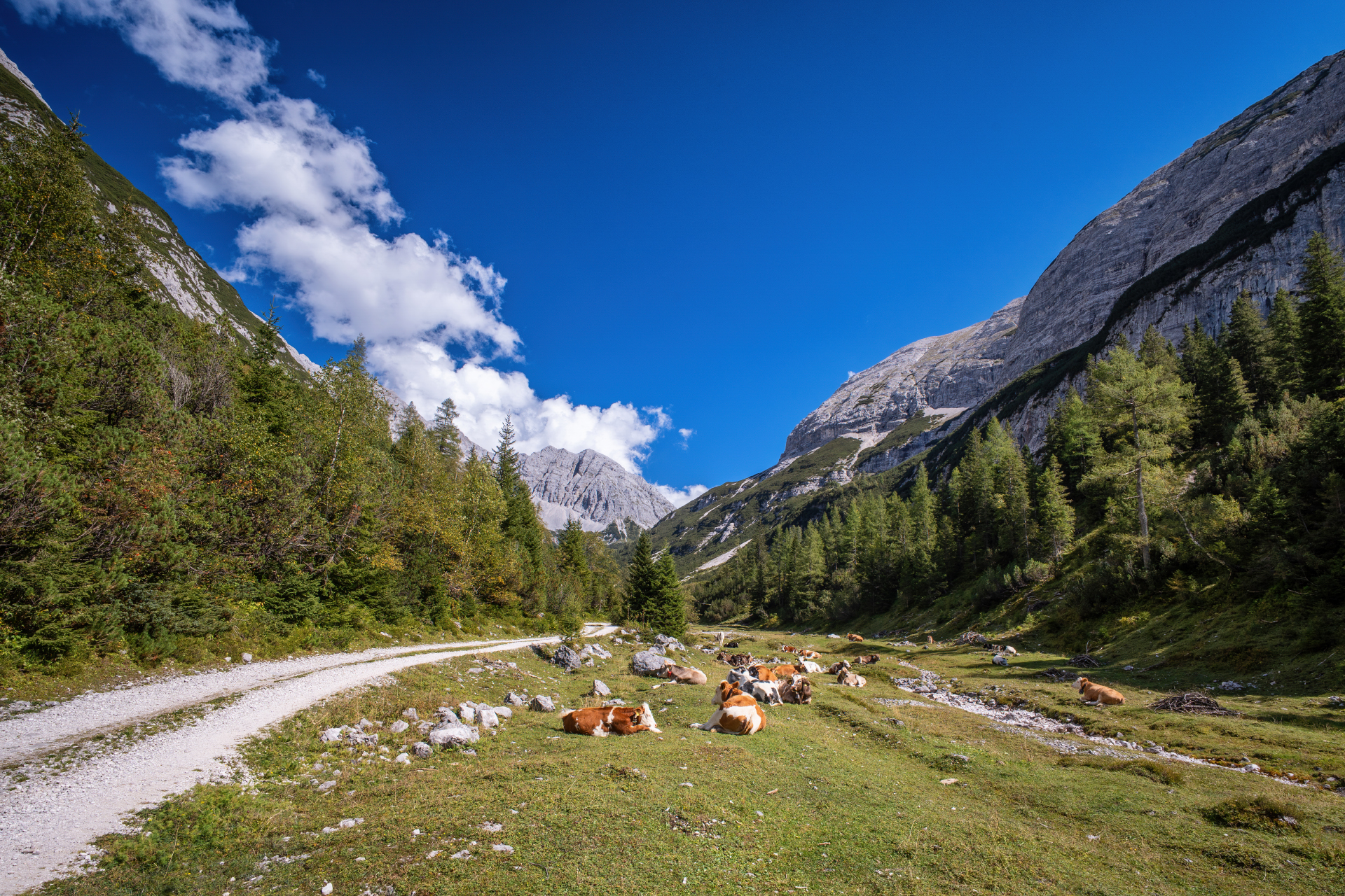
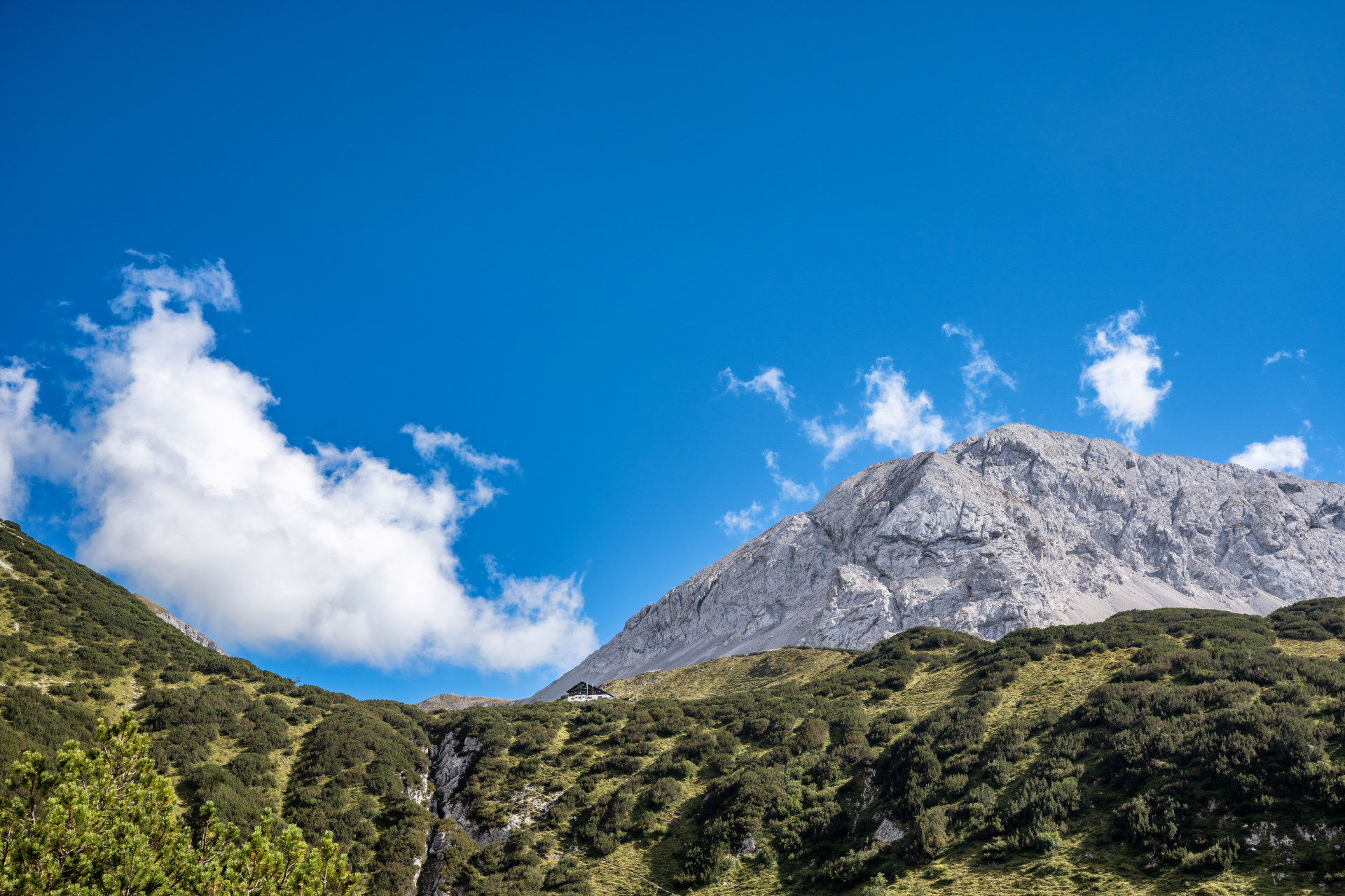
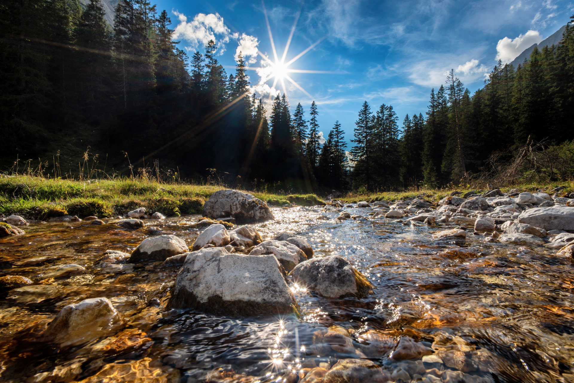
The stream disappears quite suddenly and a large alpine pasture appears on which the idyllic Möslalm is located. The Gleirschbach flows underground here, but the Möslalm got its name (derived from moss) from the damp alpine pasture.

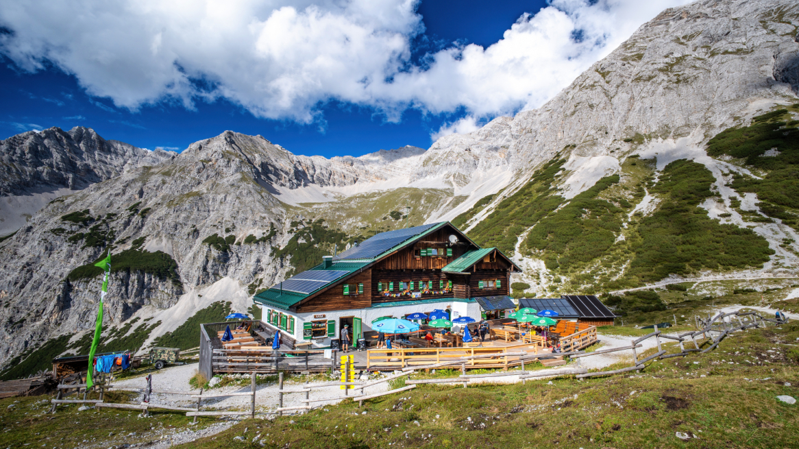
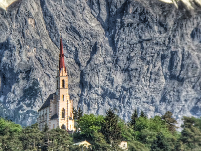
A small beautiful chapel stands here surrounded by the peaks of the Karwendel. A short rest, take photos, stop for a break and who is on the road with his E-bike can also recharge it here (own charger must be present).

Velvet Valley

After a short rest, we follow the well-signposted path further in the direction of Pfeishütte. We quickly leave the alpine pasture without much of a climb and reach the Gleirschbach stream again, which then seeps away here and, as mentioned, resurfaces further down.

In serpentines it goes now steeper uphill into the Samertal. This long valley will take us directly to the Pfeishütte. It is a beautiful high valley and one can always observe many chamois on the mountain flanks.

The Samertal is a very long valley but the ride with the bike is not exhausting. The gradient is moderate.

Bike parking lot and arrow hut

After a long ride through the valley of the Sami, you reach an area fenced with wood. The path goes steeply up to the left. Here you leave your bikes and climb up a steep path to the Pfeishütte. The walking time is about 45-60 minutes.

For the inexperienced, this variant is definitely recommended and preferable, because the ascent by bike to the Pfeishütte from here is very difficult and also very exhausting. Over the very steep and gravel road should drive only experienced.

From here you can already see the Pfeishütte. It lies beautifully on a hill above the Samertal and behind it the Rumer Spitze.

Arrow hut

The Pfeishütte is located on the back side of the Nordkette, seen from Innsbruck, at an altitude of 1,922 meters. It is therefore a perfect starting point for many summit ascents in the Karwendel.

After about 20 kilometers on the bike, it is now time for an extensive rest. The hut serves regional delicacies while you relax on the spacious sun terrace.

If you haven't had enough yet, you can now park your bike and hike up to the surrounding peaks. However, I would rather recommend an overnight stay in a hut to climb a peak the following day.

The return trip is on the same way back.

Peaks around the Pfeishütte

  • Rumer Spitze via east or west ridge | 2453 meters | 2:30 hours
  • Stempeljochspitze | 2543 meters | 2:00 hours
  • Pfeisspitze | 2345 meters | 1:30 hours
  • Lattenspitze | 2340 meters | 1:30 hours
  • Eastern Praxmarerkarspitze | 2636 meters | 4:00 hours
  • Hintere Bachofenspitze | 2666 meters | 2:50 hours
  • Sonntagskarpsitze | 2575 meters | 2:50 hours
  • Kaskarspitze | 2580 meters | 3:00 hours

Conclusion and information

A very diversified bike tour through beautiful Karwendel valleys. In the lower area not difficult, in the last part very demanding. Refreshments at the Möslalm and at the finish at the Pfeishütte. I recommend it with hut overnight stay and ascent to one of the peaks around the beautifully located Pfeishütte.

All photos © Danijel Jovanovic Photography - www.djphotography.at
Instagram: @danijeljovanovicphotography
Facebook: Danijel Jovanovic Photography

Similar articles