Around Innsbruck
Learn more
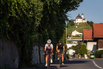
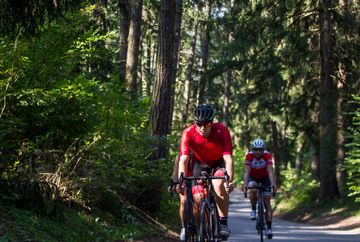
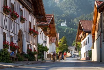
The popular bike tour "Around Innsbruck" covers 1,200 wonderful vertical metres and a distance of about 60 km. The route leads along quiet roads and gives you the opportunity to experience the alpine charm of Innsbruck's rural surroundings coupled with wonderful views over the city.
Route
The tour starts in Innsbruck and heads north along the Karwendel range, passing through various small villages along the way. The route leads through Mühlau, Arzl and Rum before turning off from Thaur towards the Gnadenwald plateau. From Gnadenwald, there are several options to choose from for the ride back down to the Inn Valley. The destination is Wattens, home of the world-famous Swarovski Crystal Worlds, where a quick visit to view the glittering installations and sparkling exhibits is always an experience. There are, of course, plenty of places to secure your bike safely during your visit.
From Wattens, the route heads towards the Karlskirche church in Volders, where it leaves the main road. Then comes the next high plateau, this time south of Innsbruck. From the valley, the route leads uphill towards Tulfes and the "Olympic Mountain" of Patscherkofel. Along the way, you pass through the beautiful villages of Rinn and Lans before reaching your destination of Igls. From there, it's a steep descent along the road back to Innsbruck, a descent with an impressive backdrop: the mighty Nordkette mountain range rising up behind the city. The Bergisel Olympic ski jump, designed by famous architect Zaha Hadid, awaits at the end of the descent.
Nature of the tour:
The tour stays within quite a tight radius of Innsbruck, yet the roads are mostly quiet. There are also plenty of opportunities to shorten the tour and reduce the vertical metres covered. This tour guarantees impressive views of the city and the surrounding mountains, while restaurants, traditional guesthouses and supermarkets offer numerous places for refreshment along the way.
Additional informations
- Travel to Innsbruck is possible by bus, car, train or plane. More information is available at https://www.innsbruck.info/en/destinations/arrival-and-transport.html


