The Innsbruck Alpine Plateau ride
Learn more
Innsbruck - Gnadenwald - Volders - Tulfes - Rinn - Lans - Patsch - Ellbögen - Matrei - B182 - Natters - Axams - Afling - Innsbruck
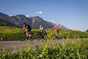
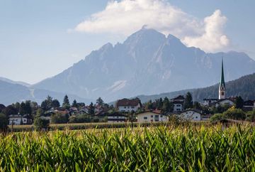
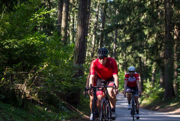
This challenging round tour with stunning views takes riders on a circular route around Innsbruck via all of the surrounding high alpine plateaus. The constant up and down means that this route clocks up an impressive number of vertical metres. The full tour passes through lots of little villages around Innsbruck but it can be shortened or extended at any time to suit personal preferences and fitness levels.
There are plenty of small cafés and guesthouses in the villages along the way, which are great places to take a break and replenish energy levels.
Route options
From Lans, the route can be shortened by riding to Innsbruck via Igls. Additional shortcuts: the B182 in the Wipp Valley leads straight down to Innsbruck. To extend the tour, you can add a flat section that goes via Kematen to Zirl. In Axams, you can add vertical metres by riding up to the Sellrain Valley via Grinzens and Tanneben rather than going back down to the Inn Valley. From there, you can take a route straight back to Innsbruck or continue on from the village of Sellrain through Oberperfuss and Ranggen before returning to Innsbruck.
Additional informations
- If required, there are buses in operation


