Innsbruck Region

EN

Aldrans - Teufelsmühle mill - Judenstein (19)

Aldrans - Teufelsmühle mill - Judenstein (19)
Difficulty
easy
Ascent
1h 30min
Max. route length
5.5 km
Uphill
261 m
City
Aldrans

Learn more

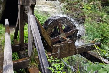
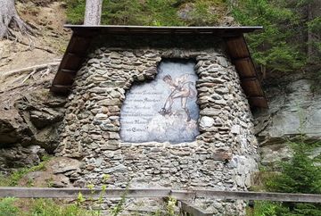
From the village centre in Aldrans, this flat footpath first leads along Rinner Straße in a southerly direction and then turns left towards Herzsee lake. After the lake, the path climbs slightly past the Prockenhöfe farms to the Hasenheide sports ground. Before the sports field, the route branches off to the right, crosses a small stream and then leads via Teufelsmühle in the last section through forest and meadow passages to Judenstein. The return journey follows the same route back to the starting point. The route runs mostly on forest paths and is in a quiet location.

Additional informations

Tour
Difficulty
easy
Uphill
261 m
Downhill
116 m
Max altitude
900 m
Ascent
1h 30min
Max. route length
5.5 km
Information
Walking time total
3h
Starting point
Aldrans - centre
Endpoint
Aldrans - centre
Spazierweg, Forstweg
Arrival
  • Bus 530 | Bus 540 - bus stop "MPREIS"
    Bus M - bus stop "Aldrans Dorfplatz"
Best Season
January February March April May June July August September October November December
Map Elevation profile

In the surrounding area

Judenstein - Church Mariä Heimsuchung
Sightseeing
 
Devil's Mill - Teufelsmühle
Sightseeing
 
Aldrans - Teufelsmühle mill - Judenstein (19) – Innsbruck Region
HEADLINE H3
Zenddesk Chat