Around the Kupf

Learn more
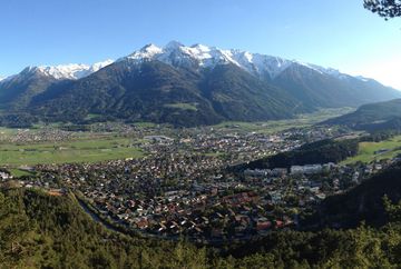
This hike starts northeast of the tennis courts and follows the paved road to Birkenbergkirche church. From there, continue along the forest road through the pine forest and follow it around long sweeping bends as it climbs uphill behind the Kupf. When you get to the highest point, the forest road goes slightly downhill before reaching the start of the Erich-Schartner-Steig trail. Turn left before the wooden fence and follow the short path for a few minutes until you reach the viewpoint overlooking Telfs. From there, walk back to the fence and follow the snaking trail back down to the bridge at the Arzbergklamm gorge. Do not cross the bridge, instead keep left to follow the Bergwachtsteig trail. Continue past the scouts' hut and back to the starting point.


