Birgitzer Alm - Birgitzköpfl
Learn more
Attractive mountain tour in the Axamer Lizum.
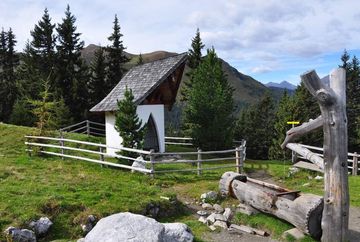
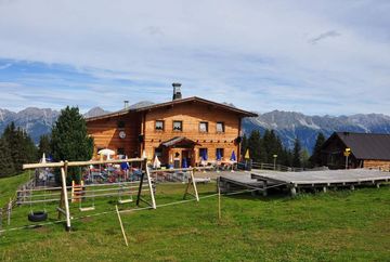
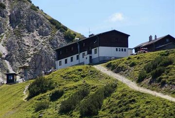
Start from the Axamer Lizum car park (1,583m) > past the Birgitzköpfllift valley station > always follow the signs at the edge of the forest in the direction of the Birgitzeralm > Butterbründlsteig > through the forest, always slightly uphill to the Birgitzer Alm (1. 808m) > head south uphill to the Birgitzköpfl mountain cross and continue to the Birgitzköpfllift mountain station (2,098m) > return to the valley either with the Birgitzköpfllift or on foot in steep serpentines along the piste on the Pötschachsteig.
Additional informations
- Bus 404 - stop Terminal Kögele Axams - here change to
Bus 411 - stop Terminal Kögele Axams/Axamer Lizum - only from June to September


