Burg Klamm Castle - Waterfall - Gschwenter Hohlweg
Learn more
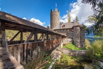
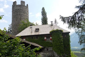
A simple circular hike covering relatively few vertical metres. Start from Grünberg car park, walk north-east towards Finsterfiecht and then continue towards "Klammer Mühle" mill. At the fork in the path, follow the signs for "Burg Klamm" castle. The castle is privately owned and can only be viewed from the outside. From the bridge, a path leads in a few minutes to a beautiful 25 metre high waterfall in the Klammbach stream. The hike back leads along a gravel road up to Fronhausen. From there, cross the main road and follow a paved road (low traffic), past the hamlet of Freundsheim to Gschwent. Upon walking through the district of Gschwent, you'll soon come to the "Gschwenter Hohlweg" trail. Afterwards, follow the paved road towards Obsteig. At the church, cross the main road and walk back to the car park through the various hamlets.


