Herzlteichweg
Learn more
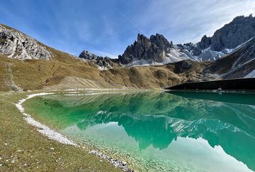
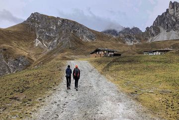
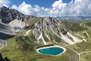
Ascent with the Hoadlbahn to the mid-station exit. From here, a well-maintained forest and mountain trail leads up to the Herzlteich (reservoir). Wonderful views of the imposing panorama of the Kalkkögel, alpine roses in bloom (June - August) and, with a bit of luck, even the odd encounter with marmots can be experienced on this route. After passing the reservoir and a short rest, you can either return to the Hoadlbahn middle station or continue up to the Hoadlhaus panorama restaurant at 2340 m above sea level with refreshments and access to the Hoadlbahn mountain station for the return trip to the valley.
Additional informations
- Bus 404 - stop Terminal Kögele Axams - here change to
Bus 411 - stop Terminal Kögele Axams/Axamer Lizum - only from June to September


