Igls - Innsbruck (10)
Learn more
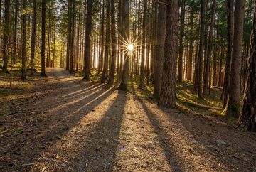
A beautiful, shady hiking trail to Innsbruck. The route starts in the village centre of Igls, between the tourist office and the church. Follow Grätschenwinkelweg in a north-easterly direction and take the first left onto Eichlerstraße. Then follow the Viller Steig path down towards the village of Vill and the village church.
Continue past the village church in Vill and, after the bus stop on the right hand side, turn right onto Grillhofweg, which leads steeply uphill. Then turn left onto Poltenweg and follow it through the forest to the Poltenhütte (a farmhouse in a forest clearing). Finally, turn left and walk along the Lanser Steig path to the Sill power station. Here you cross the road and pass under the bridge to the Gasthaus Bretterkeller guesthouse and continue over the Sill bridge to Bergisel.
Additional informations
- bus J - stop "Igls Ortsmitte"


