Karwendel Höhenweg trail - stage 1
Learn more
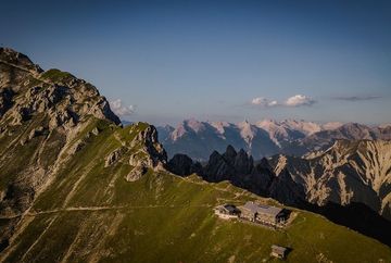
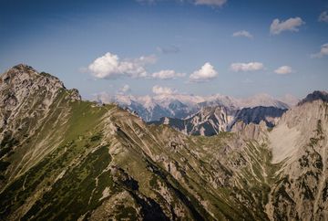
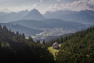
In Reith, you start directly from the railway station and follow the road northwards. Cross the Roman road and continue northwards on the panoramic trail until it branches off to the south at a bend. Follow the panoramic trail until you turn northwards onto Steig 211. A short time later, this branches off to the right and leads in serpentines to the Schartlehnerhaus (1856 m). Once there, the trail leads over the mountain pine ridge of the so-called ‘Schoaßgrat’, initially in serpentines, then less winding, the last section up to the Nördlinger Hütte (2239 m).
Alternative: The starting point is the valley station of the Rosshütte cable car in Seefeld. Take the funicular railway to the Rosshütte (1751 m) and continue with the Härmelekopfbahn to the starting point of the hike. From here, you can either take the Kuntersteig trail directly to the Nördlinger Hütte (option 1) or the steep and exposed route over the Härmelekopf and Reither Spitze to the Nördlinger Hütte (option 2).
Additional informations
- Both the starting and finishing points are easily accessible by train and bus.


