Karwendel Höhenweg trail - stage 2
Learn more
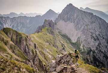
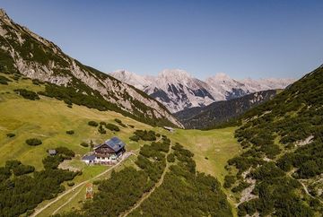
Initially you start from the Nördlinger Hütte in an easterly direction, but soon follow the path northwards below the eastern slopes of the Reither Spitze and later the path eastwards to the original saddle (2087 m). Do not head towards the Freiung towers here, but follow the path descending to the north-east. At the Breiten Sattel (1794 m), branch off to the right on path 74 to the Eppzirler Scharte. After crossing the large scree field of the Kuhljoch and climbing a few hairpin bends, you reach the Eppzirler Scharte (2102 m). From here, you descend about 200 metres down the Höllkar filled with limestone gravel (trail 212) and then take trail 211/212, with recurring ups and downs, to the Solsteinhaus.
Summits along the stage: If you still have time and stamina, you can take a detour to the following summits on this stage:
- Kuhlochspitze (2297 m); ascent: +2 h (black mountain trail)
- Freiungen Westgipgel (2333 m); ascent: +2 h (black mountain trail)
- Erlspitze (2405 m); ascent: +3 h (black mountain trail)
Additional informations
- Both the starting and finishing points are easily accessible by train and bus.


