Kühtai - Sulzkogel
Learn more
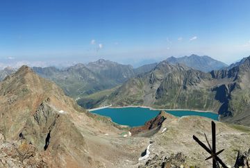
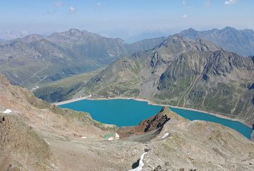
Anyone who makes it to the end of this hike has "bagged" a three-thousand-metre peak! The route starts at the church in Kühtai and leads past Hotel Astoria to the dam at the Finstertal reservoir – either along the paved route or a hiking trail. From there, take trail no. 146 and follow it along the eastern shore to the end of the reservoir. At the turnoff for the "Finstertaler Scharte" ridge after the reservoir, continue towards Sulzkogel. After passing a small waterfall, the trail heads west into a barren high-alpine valley.
The summit trail up to the top of Sulzkogel is now in sight. The trail takes you up the steep, south-east-facing slope and then up over the western side to the summit, which is marked with one small and one slightly larger cross. Follow the same route back.
Additional informations
- Line 4166 - Regiobus Sellraintal Line 4196 - Regionalbus Oetz - Ochsengarten - Kühtai
- Car park of the ‘Drei-Seen-Bahn’ cable car


