Mötz - Burg Klamm castle - Mötz
Learn more
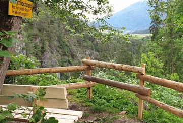
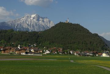
This hike starts at the parish church in Mötz and heads upstream, following Königsgasse road north to the Klammweg trail. From there, you cross the bridge and follow the narrow trail, which is quite steep in parts, to the waterfall. This is followed by a steep climb to a covered, wooden bridge. It is well worth taking a short detour across the bridge to view the impressive Burg Klamm castle (privately owned, not open to visitors).
For the hike back, you can either head straight downhill to Mötz or cross back over the wooden bridge and follow the route along the fish pond. This route passes a chapel and then follows a pleasant hiking trail to the hamlet of Wald, before continuing along a path through the Föhrenwald forest and back down to Mötz.


