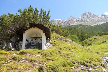
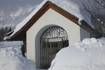
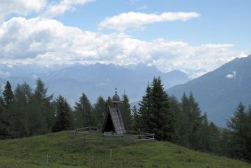
Obsteig chapel circuit
Learn more
Route description: The chapel trail can be walked in approximately 4 hours and leads from the starting point above Burg Klamm castle via Wald, Thal, Holzleiten, Aschland, Weisland, Arzkasten, Oberstraß and Gschwent back to the starting point in Fronhausen.
The route follows gravel roads, low-traffic village roads and alpine trails as it makes its way through the region. The ascent up to the chapel on the Simmeringalm takes about 2.5 hours. Various route options are available for this section (detailed information can be found on the hiking map for the region).
Starting point: Grünberg car park.
The hike up to the chapel on the Marienbergalm (only accessible on foot from Arzkasten in summer, the route is closed in winter) takes approximately 2 hours – either on the forest road or the "Alpsteig" trail.
Starting point: Arzkasten.


