Patscherkofel
Learn more
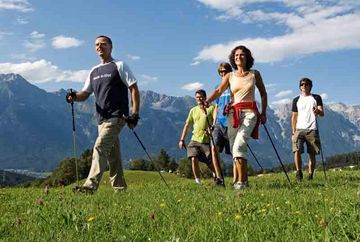
Start in the Kurpark spa gardens and walk up through the Serleswald woods to Lanser Straße road. Cross Lanser Straße and follow Speckbacherweg trail towards Patsch. Before reaching the village of Patsch, head up to the Patscher Kreuzweg trail and continue to the Heiligwasser alpine guesthouse. From Heiligwasser, continue to the former Igler Alm hut and then follow the Almenweg 1600 trail to the Lanser Alm mountain hut. From in front of the Lanser Alm, a steep forest path leads up to the Patscherkofelhaus. The best way to get back to Igls from there is to ride down on the Patscherkofelbahn lift.
Additional informations
- bus J - stop "Patscherkofel"


