Rangger Köpfl Oberperfuss
Learn more
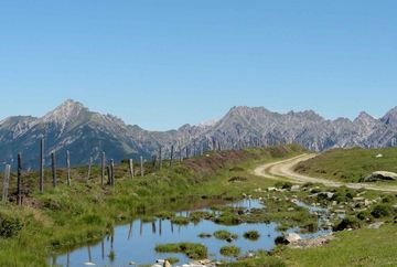
Rangger Köpfl is a striking mountain located about ten kilometres west of Innsbruck. It is the most significant landmark in this hiking destination and boasts breathtaking panoramic views. Take the Peter-Anich Gondola I from Oberperfuss and float up the mountain in comfort to Stiglreith at 1360 metres above sea level. There you will find the Panoramarestaurant, where you can stop in for a bite to eat. Then take the 8-seater Peter-Anich II Gondola up to Sulzstich at 1560 metres above sea level. Once at the top of the gondola, walk downhill for a few minutes until you reach the idyllic reservoir and then head south along the forest road. Below the reservoir, you'll come to the Sulzstich restaurant with its large sun terrace.
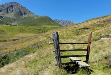
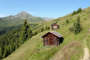
If you would rather start your hike from the car park at Stiglreith (1363 m, fees apply), you can follow the road up to Sulzstich (1560 m), past the picturesque reservoir to the last bend below the Rosskogelhütte mountain hut. From there you can already see the Krimpenbachalm mountain hut (not open to the public) below the mighty Rosskogel mountain. Turn left onto the trail towards the Krimpenbachalm and follow it until you come to the Krimpenbachsattel at 1899 metres above sea level. Then follow the gently climbing forest road with stunning panoramic views up to the summit of Rangger Köpfl (1939 m), where you can enjoy impressive 360° views of the surrounding mountains!
From the summit cross, follow the trail that leads down the ski slope to the Rosskogelhütte mountain hut. This hut with its wonderful sun terrace is a good place to take a break and enjoy a bite to eat.
From the Rosskogelhütte, you can follow the road back down or take the path that leads down the ski slope, past the reservoir lake to the starting point at Stiglreith.
Additional informations
- Bus route 462
- Stiglreith Oberperfuss car park


