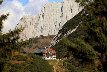
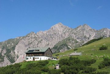
Solsteinhaus mountain hut (Alpenverein route 213)
Learn more
Hochzirl - Pleinerweg - Solsteinhaus (Alpenverein route 213)
The quickest way to reach the Solsteinhaus mountain hut is to take the signposted trail from the train station in Hochzirl via Pleiner and Solenalm. The route takes you along hiking paths and forest roads to an altitude of 1,417 metres, where you cross the Oberbach stream. From there, the route zigzags up a steep track to the Solenalm hut (1,643 m, not open to the public), where you get wonderful views of the Erlspitze and Solstein peaks.
From there, the route leads north above the Erl Valley, crosses the stream in a north-easterly direction and then continues around two long bends to the mountain hut, which will have been visible up ahead for quite a while.
Additional informations
- by train in the direction of Scharnitz to ‘Hochzirl’
- Car park at the railway station


