Summit hike Salfainssee - Schaflegerkogel - Kemater Alm mountain hut
Learn more
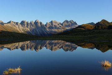
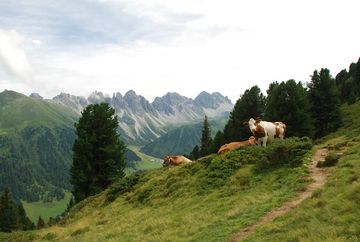
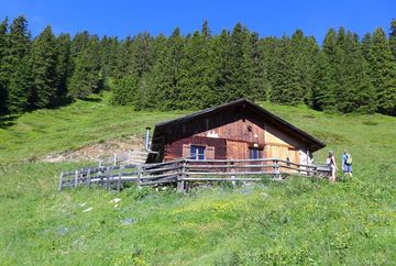
A beautiful circular hike in the Senders Valley (Sendertal). The hike starts at Kaserl car park in the Senders Valley and leads up to the idyllic Salfeinssee biotope, where you can admire stunning reflections of the mighty Kalkkögel mountain range on nice summer days. The highlight of this circular hike, however, is the way the route passes along the mountain ridge via Grieskogel, Breitschwemmkogel and Angerbergkopf to Schaflegerkogel and Kreuzjoch before heading down the back of the Senders Valley to the Kemater Alm mountain hut (the only refreshment stop along the way). The hike then follows the Sendersweg path back to the starting point in Kaserl. Hikers must be sure-footed and in good physical shape.
Additional informations
- Public regional bus no. 404 to HS Grinzens / Kemater Alm
- Car park at the former sports café in Grinzens (subject to charge)or via the toll road Senderstal Forstweg (€ 5.00) to the Kemater Alm car park (free of charge)


