The Jochleitensteig trail around Patscherkofel mountain
Learn more
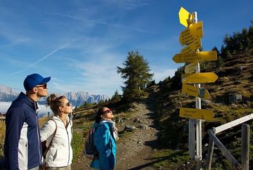
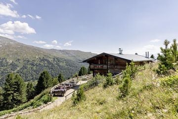
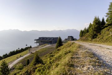
The Patscherkofel nature trail runs along the Jochleitensteig trail around Patscherkofel mountain. There are various stops along the way, where hikers can find information about the viewpoints and flora and fauna in the Patscherkofel-Zirmberg nature reserve. First take the Patscherkofelbahn gondola up to the mountain lift station. From the top of the lift, head west past Schutzhaus Patscherkofel and continue along the road towards Hochmahdalm. After about 15 minutes, you will reach the turnoff to the Jochleitensteig trail on your left. The hike leads through an old stone pine forest and has magnificent views of the Stubai Valley and the Stubai Glacier, as well as beautiful views along the Wipp Valley to the Brenner Pass. After about 1.5 hours, you will have the option to stop off for a break and a bite to eat at the Boscheben alpine guesthouse. From there, continue west along the Zirbenweg trail and back to the Patscherkofelbahn mountain lift station.
Additional informations
- bus J - stop "Patscherkofel"


