Three-day tour – the Munde circuit
Learn more
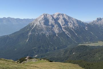
This three-day hike takes you over varied trails in the Mieming Range and leads around the Hohe Munde, which is the local mountain for the town of Telfs (main summit 2,662 m).
DAY 1 – from Wildermieming via the Niedere Munde to the Tillfussalm mountain hut
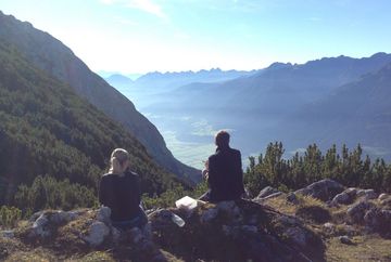
Start at the hikers' car park in Wildermieming and follow the forest road east for about an hour to the Straßberghaus mountain hut. From there, the hike continues along the Hintereggensteig trail to the Niedere Munde col (2,059 m). From the top, you have great views of the Gais Valley and the Inn Valley. Afterwards, follow the marked trail that leads north through the rocky terrain of the Niedere Munde towards "Gaistal" (the Gais Valley). After following the trail for about two hours, you will reach the Tillfussalm mountain hut.
- Total walking time for the day: 5 hours
- Elevation gain: 1,150 vertical metres
- Starting point: hikers' car park in Wildermieming
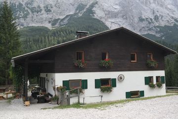
- Destination | accommodation: Tillfussalm, Gais Valley (sleeps 8 people | tel +43 676 61 04 770)
DAY 2 – from the Tillfussalm mountain hut via the Gais Valley to the Rauthhütte mountain hut
Starting from the Tillfussalm mountain hut, follow the hiking trail along the Leutascher Ache river towards the entrance of the valley. Shortly before the Gaistal hikers' car park, you'll come to a signpost that points south towards the Rauthhütte mountain hut. Join the Rauthhüttenweg trail at the first opportunity and follow it to the Rauthhütte.
- Total walking time for the day: 3 hours
- Elevation gain: 410 vertical metres
- Starting point: Tillfussalm, Gais Valley
- Destination | accommodation: Rauthhütte, Leutasch (sleeps 78 people | www.rauthhuette.at)
DAY 3 – from the Rauthhütte mountain hut through the Kochen Valley to Wildermieming
From the Rauthhütte mountain hut, follow the Buchener-Steig trail down into the valley as far as Buchen (1,193 m). From there, a hiking trail leads towards Birkenberg, taking you down through the Kochen Valley to Telfs. The route continues through the districts of Arzberg and Lehen to the Straßberghaus mountain hut. This marks the start of the last section of the hike back down to the starting point at the hikers' car park in Wildermieming.
- Total walking time for the day: 5 hours and 30 minutes
- Elevation gain: 550 vertical metres
- Starting point: Rauthhütte, Leutasch
- Destination: Hikers' car park in Wildermieming


