Through the Kochen Valley
Learn more
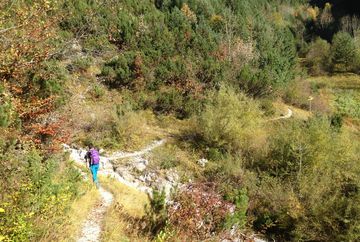
Head northeast past the tennis courts and follow the paved road to the Mariahilf Pilgrimage Church in Birkenberg. Continue past the church and join the forest road, always going straight on. When you come to the crossing towards "Kochental", turn right and follow the trail to a small clearing where you'll find a signpost and can collect a stamp. From there, take the path towards Buchen, which leads across a small wooden bridge before winding its way up the mountain. When you come to the signpost for the Ropferstub’m alpine guesthouse, cross the road and continue until you reach your destination.
For the hike back, follow the same route down through the deciduous forest until you reach the signpost. From there, take the path towards Sagl and follow it along the stream. At the signpost for "Birkenberg", turn right and follow the route back to the starting point.


