Unterperfuss to Itzlranggen Hofschank Gutleben
Learn more
A beautiful hike past cultural monuments and through the forest to Itzlranggen.
From the centre of Unterperfuss (free parking is available at the Branger Alm), a paved road leads south to Ferklehen Castle. The route follows the edge of the forest until it meets the main road, continues west for about 100 meters and then turns right to follow a path over the fields and across a wooden bridge into the forest. The forest trail climbs slowly uphill until it comes to the last bend in the road to Itzelranggen. From there, the route follows the road as far as the first houses in Itzlranggen and then turns right to Hofschank Gutleben farm.
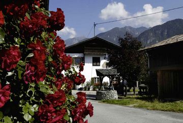
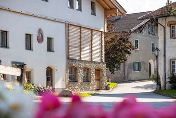
Highlight: Pfarrkirche zur hl. Katharina (the Parish Church of St Catherine) in Unterperfuss, Peter Anich's beautiful sundial featuring the signs of the zodiac and a gnomon on the Brangerhof building owned by the Hörtnagel family in Unterperfuss, Ferklehen Castle (privately owned), the well in the village centre, the village fountain and the beautiful old farmhouses in the village.
Additional informations
- bus 4165 Innsbruck-Unterperfuss


