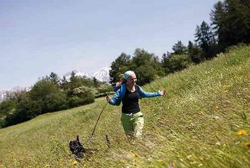
Wendelinsteig (trails 7 & 14) to the Rechenhof and Schönblick

Learn more
Follow the shady Wendelinsteig trail (red & white trail markings, route number 7) from the starting point until you reach path number 14. Take path number 14 and follow it through the relatively flat terrain to the large crossroads called "Sieben Wege" (seven trails), where you can stop and enjoy a bite to eat at the Rechenhof alpine guesthouse, which is open year round.
From there, continue along path number 14 until you come to a turnoff signposted to Arzl/Schießstand. A trail then leads off to the left towards route number 13, which initially takes you through green alpine meadows (an oasis of peace) before heading constantly downhill through the forest and diagonally crossing a road. The route then leads past a lovely small forest meadow with two benches before ending directly at Schönblick. From there, follow route number 15, which runs between the village of Arzl, the state shooting range and the Canisiusbrünnl alpine guesthouse.
Return hike
Follow route number 14 back to the starting point.
Additional informations
- bus 501 | bus 502 | bus 503 - stop "Rum Dorfplatz"


