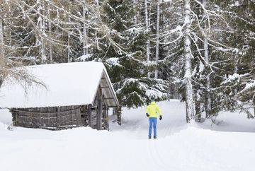
Connecting Cross-Country Ski Run V1
Learn more
The two-kilometer-long trail seamlessly connects the Thal/Wald No. 5 trail in Obsteig with the Burkleite No. 6 trail in Holzleiten, allowing cross-country skiers to enjoy the entire route without needing to take off their skis. This track offers a smooth, uninterrupted skiing experience, letting you fully enjoy the surrounding beauty.
In Obsteig, there are several places to stop for a break. After an active outing, the traditional inns invite you to refresh and enjoy a hearty meal – the perfect spot to recharge and soak in the winter atmosphere.
Additional informations
- You reach the starting point via the Inntal valley. At Telfs or Mötz you drive onto the Mieminger Plateau and on to Obsteig. Here you can park your car in the free car park behind the municipal office. From here it is a 10-minute walk to the start of the cross-country ski trail in Langgarten. Bus 350 or 355 - stop "Obsteig Gemeindeamt" (approx. 10 minutes' walk to the entrance to Langgarten) www.vvt.at


