Cross-Country Ski Run from Holzleiten to Lärchenwiesen (No. 4)
Learn more
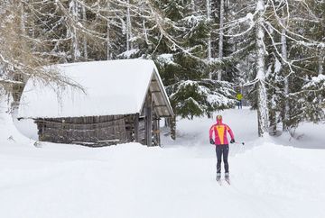
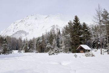
From Holzleiten, the easy, classically groomed trail leads through the picturesque larch meadows, which provide a particularly idyllic backdrop in winter. With a length of 5.6 kilometers and an elevation gain of 131 meters, it is perfect for beginners or anyone looking to refresh their technique. The trail is groomed for both classic skiing and skating, making it suitable for cross-country skiers of all levels.
After the loop, the cozy Gasthaus Arzkasten offers an excellent opportunity to stop for a break. Here, cross-country skiers can recharge with a warm meal or a refreshing drink and fully enjoy the winter atmosphere.
Additional informations
- You reach the starting point via the Inntal valley. At Telfs or Mötz you drive onto the Mieminger Plateau and on to Obsteig/Holzleiten. Here you can park your car in the free car park directly at the cross-country ski trail entrance. Bus 350 or 355 - stop "Obsteig Holzleiten" exit www.vvt.at


