Cross-Country Ski Run from Obstieg to Gschwent (No. 2)
Learn more
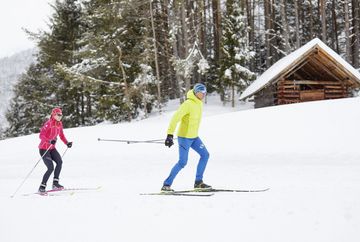
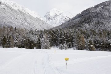
You glide along the classic trail starting from the Obsteig town hall, enjoying the breathtaking mountain backdrop that accompanies you on the approximately 6-kilometer route. The trail follows a gently rising path up to Gschwent, offering not only beautiful views of the surrounding peaks but also a pleasant challenge with 141 meters of elevation gain.
This tour is perfect for cross-country skiers looking for a varied route while fully immersing themselves in the winter nature.
Additional informations
- You reach the starting point via the Inntal valley. At Telfs or Mötz you drive onto the Mieminger Plateau and on to Obsteig. Here you can park your car in the free car park behind the municipal office. It is then only a few metres to the entrance. Alternatively, you can continue to the car park at Arzkasten (for a fee) and enter the trail directly there. Bus 350 or 355 - stop "Obsteig Gemeindeamt", www.vvt.at


