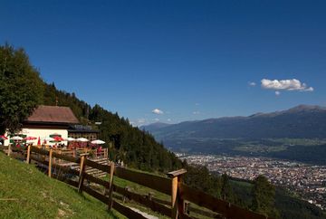
Rauschbrunnen circuit

Learn more
A very challenging route to a destination that is popular among Innsbruck locals.
The route starts at the Gasthaus Planötzenhof restaurant and leads slightly downhill to the Sadrach district before continuing past Grüner Boden to the Buzihütte mountain hut. From there, a long steep section leads up to the Kollandbrunnen fountain, where you meet the Stangensteig trail. This trail runs parallel to the Rauschbrunnen circuit for a short distance before coming to a long steep section that zigzags up to the Rauschbrunnen mountain hut. From there, the route leads downhill to the east, first along the Knappensteig trail and then on a forest road, past the Höttinger Bild chapel and back to the starting point.


