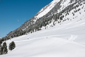
Winter Hike Kaiser-Franz-Josef-Trail Kühtai

Learn more
The winter hiking trail starts behind the valley station of the Hohe Mut cable car in Kühtai and first leads under an underpass. The trail then runs through a Swiss stone pine forest, which unfolds its typical atmosphere even in the winter season. The path winds its way westwards and forms a loop that finally rejoins the original path, which you follow back to the starting point. The route is relatively flat with an elevation gain of only 37 meters and is therefore suitable for hikers in average physical condition.
Additional informations
- Route 4166 - Regiobus Sellrain Valley Route 4196 - Regional bus Oetz - Ochsengarten - Kühtai


