Winter hiking trail Speichersee-Gfas
Learn more
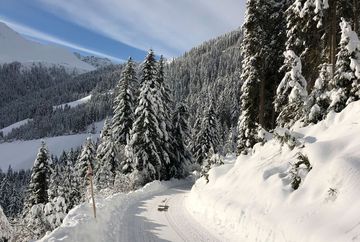
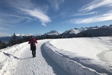
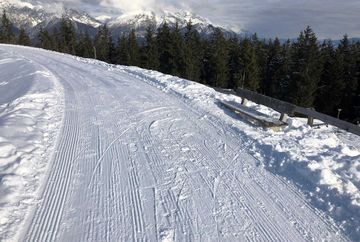
The hike starts at the Bergbahnen Oberperfuss lift station. First take the gondola up to Stiglreith, which is located at an altitude of 1,363 metres above sea level. From there, the route passes the car park and continues along a road with stunning mountain views. Keep following the yellow signs to the district of Gfas at 1,517 metres above sea level.
The hike follows the same route back to the starting point. A short detour is possible to visit a beautifully situated reservoir and Restaurant Sulzstich. The road from Oberperfuss Berg to Stiglreith is closed to unauthorised vehicles during the winter months from 1 November until 30 March.
Highlight: Gfas is the highest district of Oberperfuss and home to two farmhouses, a beautiful chapel and stunning views of the Inn Valley and the surrounding mountains.
Additional informations
- Bus route 462
- Car park at the Oberperfuß cable car valley station


