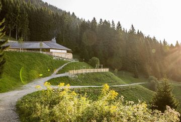
Wolfele-Wilde-Weg trail

Learn more
A beautiful but long and challenging route that takes you away from the main hiking paths and requires surefootedness. Some sections are on alpine trails.
This route starts in the Hungerburg district and initially follows the same route as the City Forest Walk, past Gramartboden and along Kollnerweg trail to the Höttinger Bild chapel. From there, you start a long climb up a forest road that leads back through the Höttinger Graben to the former Umbrüggler Alm mountain hut. The route then continues along wonderful forest trails to Titschenbrunnen and the Arzler Alm mountain hut before following the Winterweg trail directly south and around a wide loop to the west. The trails in this section are quiet and more secluded. The last part of the route leads down ski piste no. 3 back to the Hungerburg district.


