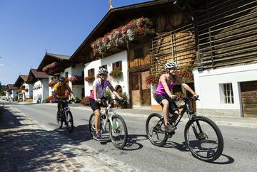
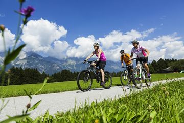
Cycle path Mutters-Natters-Innsbruck
Learn more
From the centre of Mutter (below Gasthof Stauder), the trail leads via the upper and lower Burgstall to the junction between the L 227 and the Stubaitalbahn at the MPreis supermarket. There you cross the main road and the railway tracks. Continue along the edge of the slope, along the ‘Alter Mutterer Weg’ via the Weinweg/Natters. After crossing the main road and the railway tracks at Natters/Hölltal, the route continues downhill via the old Natterer driveway to the Shell petrol station on the Brennerbundesstraße.
From the Shell petrol station, there is a wide footpath and cycle path that provides the connection to Innsbruck.
To get back to the starting point, take the same route back.
Additional informations
- Stubaitalbahn STB - Haltestelle "Mutters-Bahnhof"


