Cycle path "Rund um Natters"
Learn more
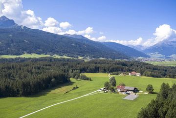
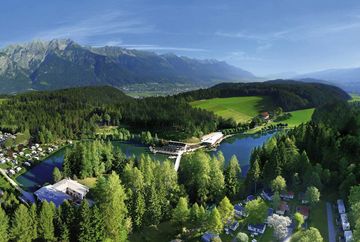
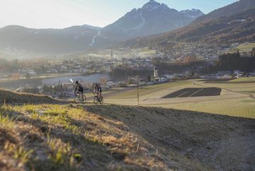
From the start at the Natterer See campsite, you cycle through woods and meadows to the Eichhof, continue with a short ascent to the Nattererboden inn and then in the direction of Sonnalm/Natters. Follow the Sonnalmweg trail to the Hölltal stop on the Stubaitalbahn STB railway. From there, take the road to Natters as far as the Natters village square. Pass the Fritz butcher's shop and then turn left into the ‘Troie’. Cycle along the edge of the forest and finally return to the starting point - the Natterer See lake.
You can shorten the route to the village centre of Natters by taking the Nockhofweg below the Nattererboden inn and arriving directly at Natters church in approx. 10 minutes.
Additional informations
- bus J - stop "Patscherkofel"


