Innsbruck – Hinterhornalm
Learn more
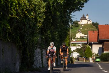
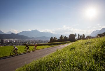
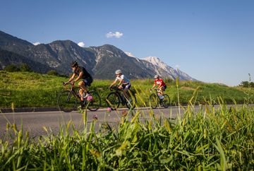
A short but dynamic tour up to the Hinterhornalm mountain hut. This tour is best enjoyed in the early morning or late afternoon as the ascent is south facing.
The route starts in Innsbruck and initially heads north on the road through the villages. In Thaur, the trail branches off to the left towards the Gnadenwald high alpine plateau. From there, it's time to tackle the steep ascent to the Hinterhornalm. This demanding section is six kilometres long and has an average incline of 11 percent. Once at the Hinterhornalm, it's well worth stopping at the mountain hut. Refreshments and alpine specialities are served on the sun terrace, which boasts stunning views of the Inn Valley and is a great place to watch paragliders take off from the neighbouring meadow.
The ride back to Innsbruck follows the same route. It is also possible to extend the tour from Gnadenwald by turning off to the left and doing a loop through the villages of Fritzens and Terfens. Afterwards, the route follows the Inn Cycle Path back to Innsbruck.
Route:
Innsbruck - Gnadenwald - Hinterhornalm - Gnadenwald - Innsbruck
Additional informations
- If required, there are buses in operation


