Rosskogelhütte mountain hut - MTB route (509)
Learn more
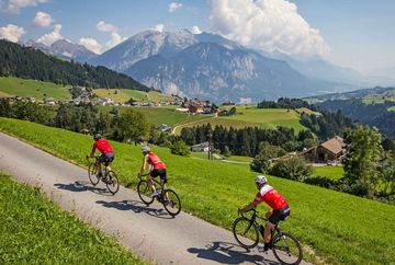
A great bike tour with wonderful wide-open views of the Inn Valley.
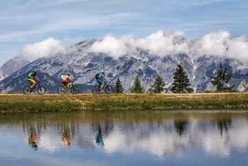
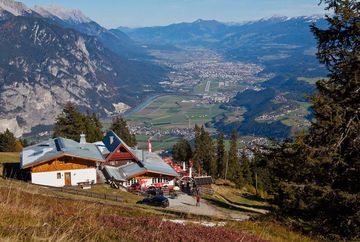
This route starts from the "Tourenparkplatz" (tourers' car park) at the bottom of the Bergbahnen Oberperfuss gondola. The car park is located at an altitude of 820 m and a € 4 car parking fee applies. The tour follows the shady Haggenweg trail up through the forest to Stieglreith at an altitude of 1,363 metres above sea level. From there, it continues past the idyllic reservoir to the Rosskogelhütte mountain hut (1,777 m) where riders can enjoy fantastic far-reaching views of the Inn Valley and the surrounding mountains, as well as a wonderful sun terrace and excellent cuisine.
The Panoramarestaurant in Stiglreith and the restaurant at Sulzstich are nice places to take a break along the way.
Our tip: beginners and families can shorten the ride up Rangger Köpfl mountain and reduce the number of vertical metres by taking Gondola I to Stiglreith and Gondola II to Sulzstich.
Bike and Hike: Hike to Rangger Köpfl with an additional 150 meters of elevation and 1 hour of walking time.
Additional informations
- Postbus Oberperfuss - bus no. 4165, www.vvt.at


