Summit tour: Sonnkarköpfl
Learn more
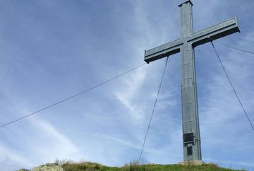
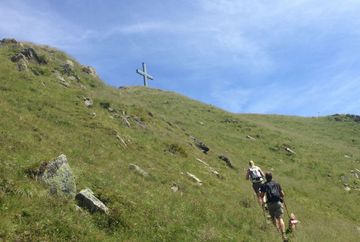
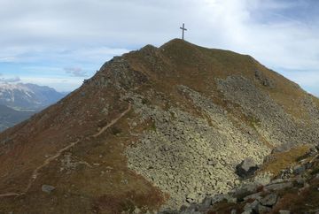
This hike starts behind the Pfaffenhofer Alm mountain hut (=Widdersbergalm) and zigzags ever higher up the mountain. After about 45 minutes, you will come to a turnoff. Follow the signs towards Sonnkarköpfl. Once the trail leaves the forest, it continues over barren terrain, first on a north-facing slope and later through a corrie on a south-western slope up to the summit. From the Sonnkarköpfl peak, hike back the same way until you reach the turnoff that leads east to the "Oberhofer Melkalm". This section takes you downhill over vast fields of alpine roses to the Sonnkarhütte mountain hut (not open to the public) and then over alpine meadows to the Oberhofer Melkalm mountain hut. Finally, take the Bettlersteig trail that starts behind the hut and follow it back to the starting point at the Pfaffenhofer Alm mountain hut (=Widdersbergalm).
Tips | notes: It is possible to get a driving permit (fees apply) from the local authority in Pfaffenhofen. This saves you about 2.5 hours of walking time. The journey is possible in a normal car. Please note: after heavy rainfall, the road is difficult to drive and an all-terrain vehicle is recommended.


