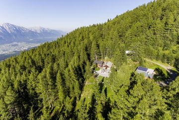
The Almen Trail

Learn more
A very varied and attractive trail running route that leads around the Patscherkofel from mountain hut to mountain hut.
The trail starts at the middle station of the Patscherkofel cable car and leads along a forest path past the Patscher Alm hut and further south on forest soil into the quiet Viggartal valley. Following the hiking trail "Almenweg 1600", you reach the Meissner Haus after approx. 7 km (forest path). From there the trail continues uphill in a northerly direction to Alpengasthof Boscheben. You have to climb about 300 m in altitude on a narrow hiking trail. Continue along the Zirbenweg (rock, gravel) in an easterly direction until you reach the junction "Issboden, Sistranser Alm" on the left. After the Sistranser Alm hut, continue westwards along a forest path to the Lanser Alm hut and then in serpentines along a steep ascent to the mountain station of the Patscherkofel cable car 200 m higher up, the end point of the Almen Trail.
Additional informations
- bus J - stop "Patscherkofel"
the Patscherkofel cable car is easily accessible by car and public transport. Parking is available at the valley station (subject to a fee - the parking fee is refunded at the ticket office when you buy a cable car ticket)


