Karwendel Höhenweg trail - stage 4
Learn more
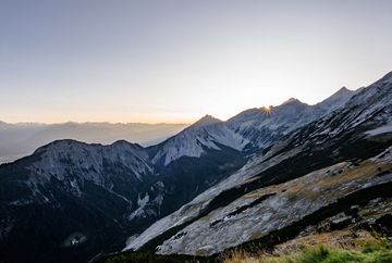
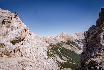
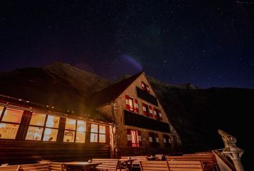
You start at the Pfeishütte and follow trail 221 (= Via Alpina) in an easterly direction with a slight incline to the Stempeljoch, which is located between the Pfeiser Spitze and the Kleine Stempeljochspitze. At an altitude of 2215 metres, you have reached the ridge between Pfeiser Spitze and Stempeljochspitze. From here, the trail now descends steeply over a gravel track. After a descent of around 140 metres, turn left onto the Wilde-Bande-Steig. There are often large patches of old snow on this crossing too (see below for an alternative ascent). Initially, the route leads under the eastern and southern flanks of the Stempeljochspitzen, the Roßkopf and the Großer and Kleiner Lafatschers towards the Lafatscher Joch. From here, trail no. 222 (= Via Alpina) climbs gently eastwards through the Kleine and Große Speckkar. The last few metres to the Bettelwurfhütte hut are covered while you enjoy the far-reaching views into the Halltal and Inntal valleys. The hut sits enthroned like an eagle's nest on the southern flank of the Kleiner Bettelwurf.
Alternative ascent: From the Stempeljochreise, descend further eastwards to the so-called Issanger (1626 m). At the signpost tree, the path then leads northwards up to the Lafatscher Joch.
The following peaks can be reached via a detour:
- Kreuzjöchl (2158 m); ascent: +1 h (red mountain trail)
- Pfeiserspitz (2347 m); ascent: +1.5 h (black mountain trail)
- Stempeljochspitze (2529 m); ascent: +2 h (red mountain trail)


