

The Gletscherblick-Runde
Learn more
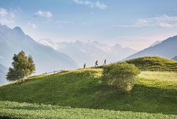
An easy and entertaining circuit for sun lovers who like running over green meadows with constant views of the Stubai Glacier in the distance.
The route starts at the former valley station of the Patscherkofel cable car in Igls/Bilgeristraße. Immediately head west along the gravel path to the slightly higher "Kurpark". Cross the park straight ahead on the asphalted "Eugenpromenade". At the end you cross the Patscher Straße (asphalt). Straight ahead along the Gletscherblickweg, after a few metres the path branches off to the left uphill towards "Rosengarten", the highest point of the trail (forest path). Follow the descending gravel path in a southerly direction to the "Grünwalder Hof". A few metres before the Grünwalder Hof hotel, the trail turns right in a 90° bend and zigzags downhill to the Gletscherblickweg, where it turns right in a northerly direction back to the Kurpark and the trail's starting point (gravel/asphalt).
Further information
- bus J - stop "Bilgeristraße"
parking is possible in Bilgerstraße in Igls at the old valley station of the Patscherkofel cable car


