

The Arzler Alm Trail (5007)
Difficulty
moderate
Route length
3.8 km
Town
Innsbruck
Learn more
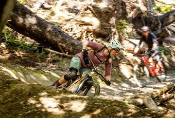
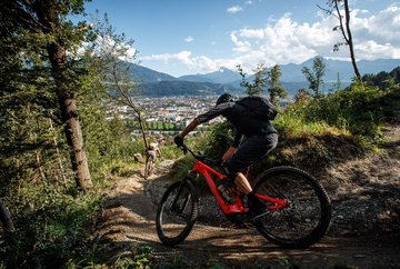
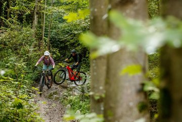
The Arzler Alm trail is a moderately difficult singletrail with lots of jumps and small variations, some of which are very demanding. It starts about 300 metres east of the Arzler Alm where the forest trail branches off towards the Mühlauer Quelle spring.
The first section as far as the avalanche dam offers constant changes of gradient, steep bends and a few jumps. After rain you need to be careful because it can get quite slippery due to the loamy subsoil. The second section runs from the avalanche dam straight down into the city. The terrain here is even more varied with long, steep bends, tight hairpins, blind summits, small gorges and rocky sections. After a ride of 3.7 kilometres with an elevation loss of almost 480 metres, the trail ends in the Mühlau district of Innsbruck.
The first section as far as the avalanche dam offers constant changes of gradient, steep bends and a few jumps. After rain you need to be careful because it can get quite slippery due to the loamy subsoil. The second section runs from the avalanche dam straight down into the city. The terrain here is even more varied with long, steep bends, tight hairpins, blind summits, small gorges and rocky sections. After a ride of 3.7 kilometres with an elevation loss of almost 480 metres, the trail ends in the Mühlau district of Innsbruck.
Further information
Tour
Difficulty
moderate
Downhill
480 m
Route length
3.8 km
Ascent
15min
Information
Starting point
Arzler Alm
End point
Innsbruck
Arrival
- Access to the trail is via the Hungerburgbahn (check the timetable!) and then
an ascent of approx. 20 minutes on the mountain bike route 506, or from the city via the branched route network in the direction of the Arzler Alm.


