The Inn Cycle Path
Learn more
The Inn Cycle Path – following the river downstream through Innsbruck
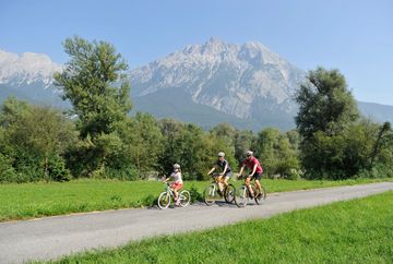
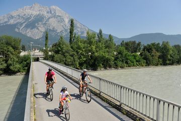
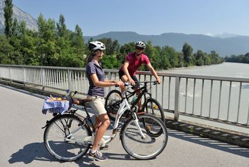
The Inn Cycle Path offers 520 kilometres of pure biking fun. It follows the river from its source in the Engadine in Switzerland until it meets the Danube in the German town of Passau. The biking paradise of Innsbruck lies in the middle of the route. Bikers can enjoy impressive landscapes, amazing panoramic mountain views and idyllic riverside trails. Innsbruck also offers history, sightseeing and delicious cuisine. The Golden Roof, numerous museums and modern architecture make it a great place for a stop along the way.
The section from Silz to Innsbruck
Anyone who starts in Switzerland will pass through the Inn Valley region on the section between Silz (start in Landeck) and Innsbruck. The route passes Telfs and Zirl and then continues on past the Martinswand climbing paradise to Innsbruck. The route runs along the shore of the River Inn at a slight but constant decline without any ascents.
ATTENTION massive asphalt damage in the Mötz (Birgele) section!
The section from Innsbruck to Strass
From Innsbruck, the Inn Cycle Path continues down the River Inn, past the village of Rum, on to the town of Hall in Tirol and then further along the river past Kufstein.
More information about the route and the various stages can be found on the official Inn Cycle Path website.


