


Show me the location on the map
Similar articles
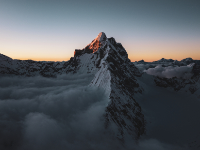
The two young Tyrolean mountaineers Benjamin Zörer and Lukas…
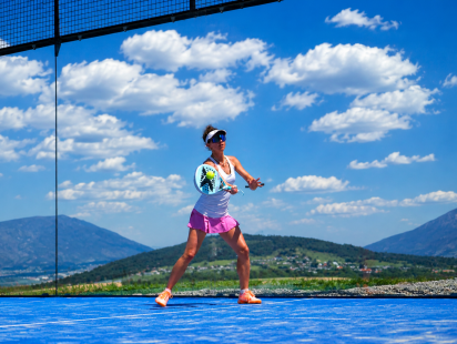
Padel—an insider’s tip? The secret is becoming a trend! This dynamic blend of tennis and squash is…
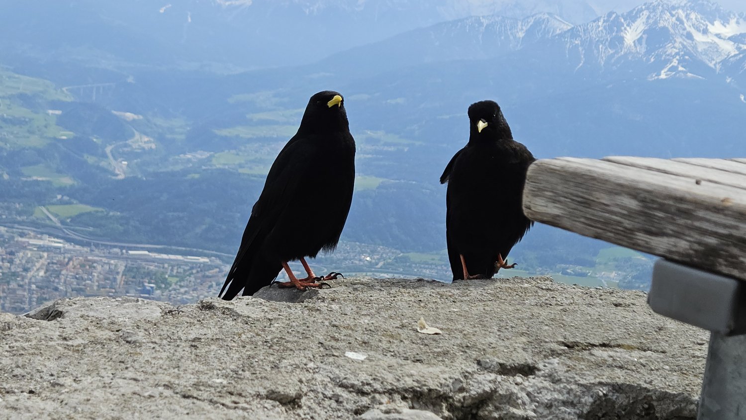
Every day, flocks of a small bird flit back and forth between the Nordkette and Innsbruck, capturing…
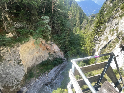
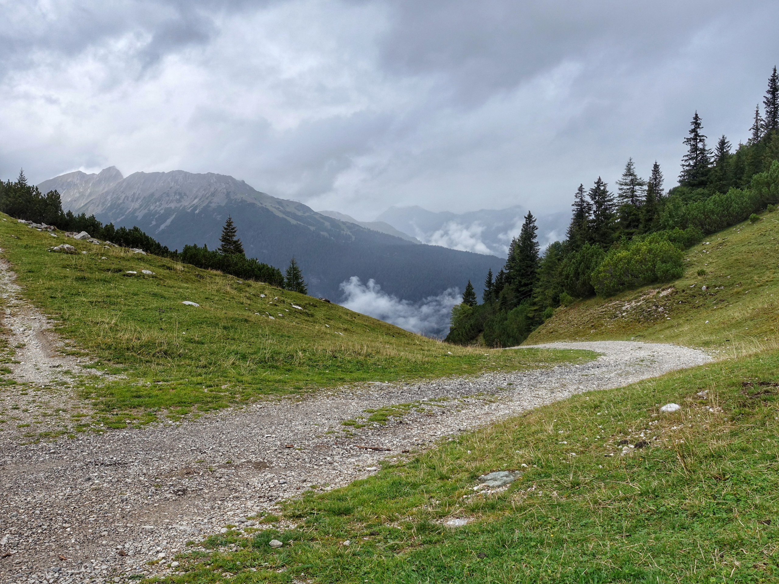
View from the dam, Ehnbachklamm…